MyTopo
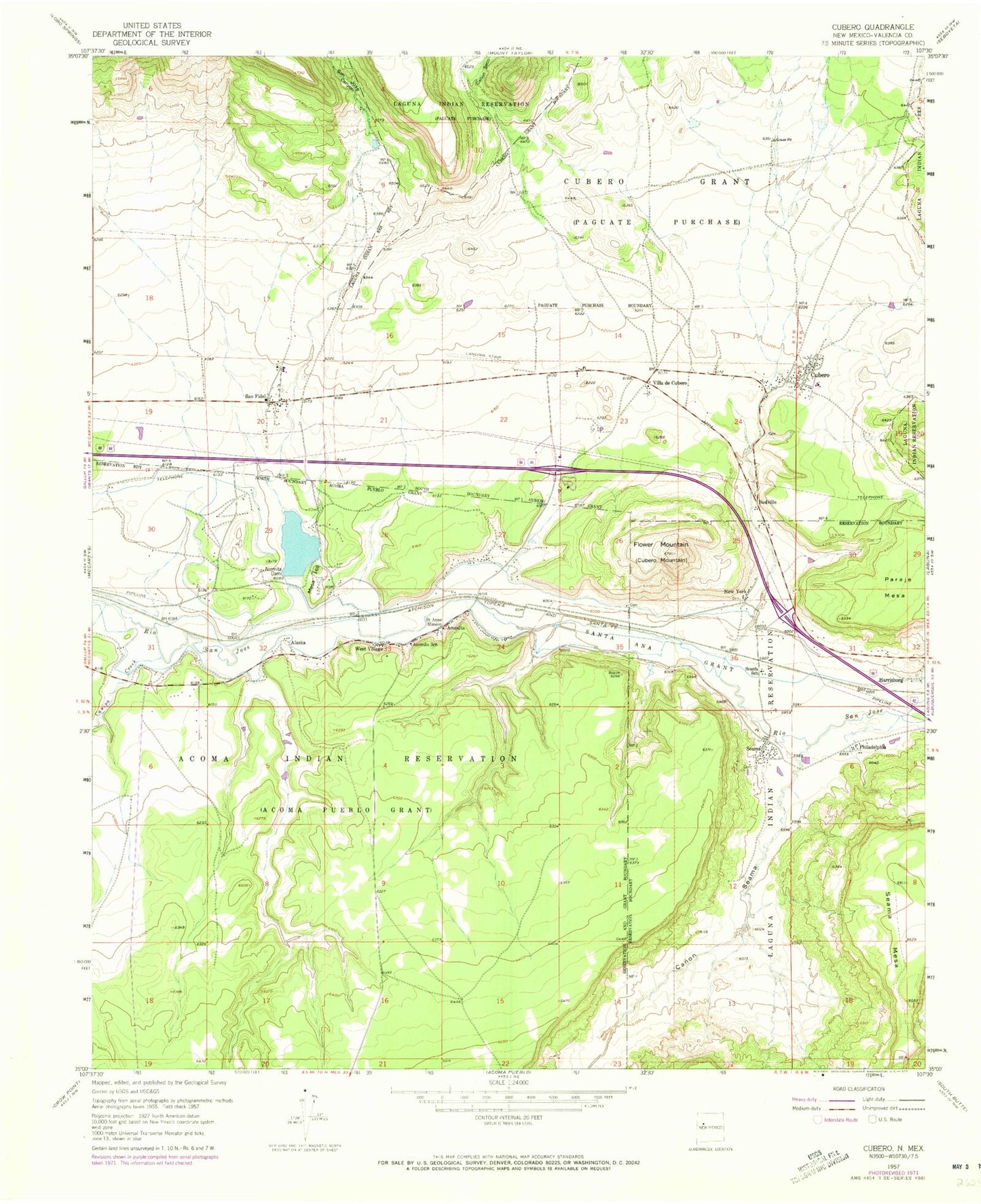
Classic USGS Cubero New Mexico 7.5'x7.5' Topo Map
Couldn't load pickup availability
Historical USGS topographic quad map of Cubero in the state of New Mexico. Map scale may vary for some years, but is generally around 1:24,000. Print size is approximately 24" x 27"
This quadrangle is in the following counties: Cibola.
The map contains contour lines, roads, rivers, towns, and lakes. Printed on high-quality waterproof paper with UV fade-resistant inks, and shipped rolled.
Contains the following named places: 10025 Water Well, 10026 Water Well, 87007, 87049, Acoma - Canoncito - Laguna Service Unit Indian Health Service Hospital, Acoma Fire and Rescue, Acomita, Acomita Cemetery, Acomita Dam, Acomita Lake, Acomita Lake Census Designated Place, Acomita Post Office, Acomita Reservoir Dam, Acomita School, Alaska, Bibos Station Water Well, Budville, Budville Cemetery, Canada de Cruz, Canipa Creek, Canon Seco, Cubero, Cubero Airport, Cubero Cemetery, Cubero Census Designated Place, Cubero Elementary School, Cubero Grant, Cubero Post Office, Cubero Volunteer Fire Department, Flower Mountain, Harrisburg, Mesa Hill, Mesa Hill Lake, New York, New York Cemetery, North Acomita Village, North Acomita Village Census Designated Place, Pentecostal School, Philadelphia, Pueblo Acoma Police Department, Pueblo T 4 Water Well, Rinconada Creek, Saint Anne Mission, Saint Joseph Elementary School, San Fidel, San Fidel Cemetery, San Fidel Census Designated Place, San Fidel Lake Pit, San Fidel Parish House Belfrey, San Fidel Post Office, San Fidel Weather Station, San Jose, San Jose Canyon, Santa Ana Grant, Seama, Seama Census Designated Place, Seama Post Office, Seama School, Seama Village Cemetery, Sky City Casino, Skyline-Ganipa Census Designated Place, South Acomita Village Census Designated Place, Test Well 79-1 Water Well, Villa de Cubero, West Village


