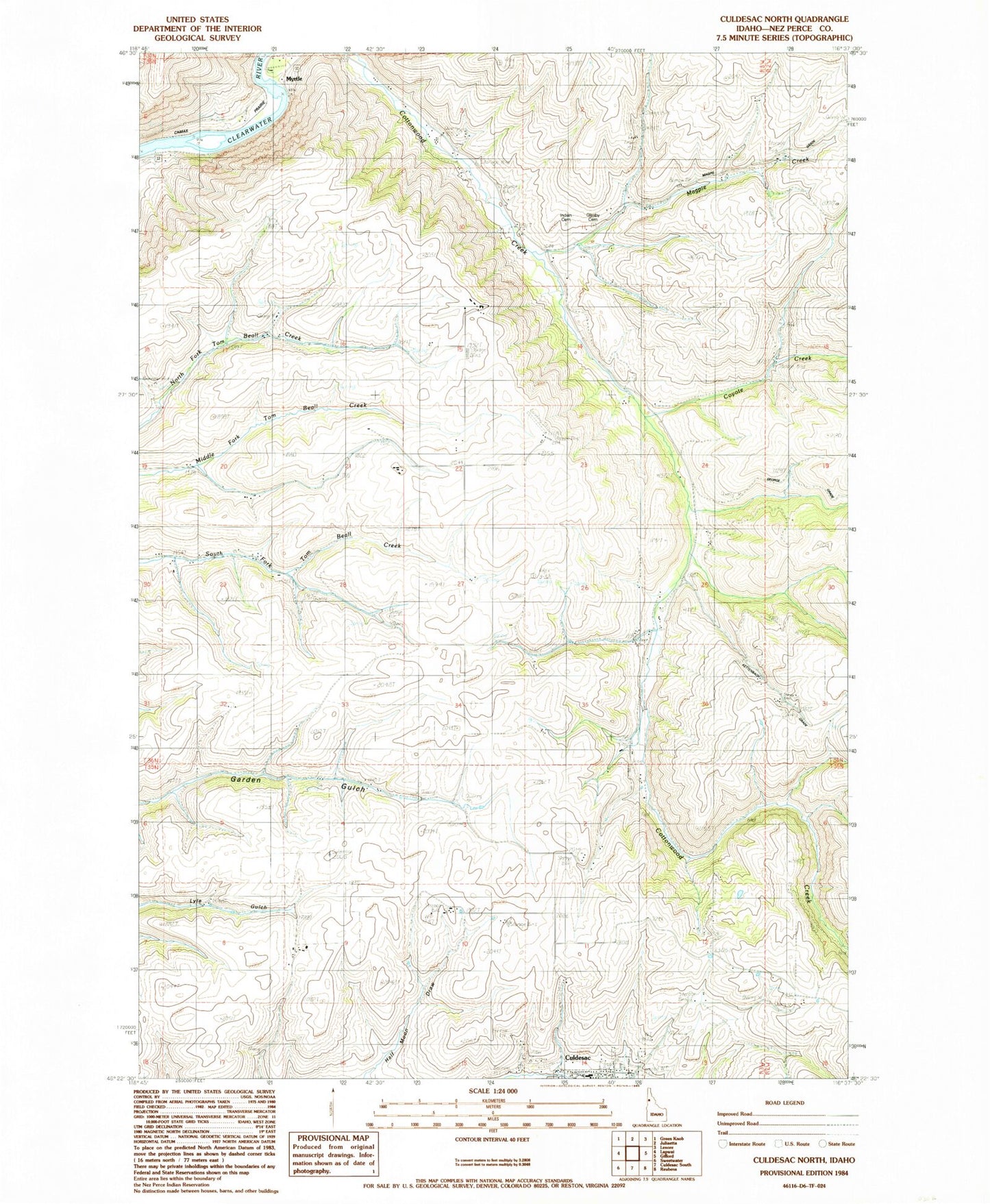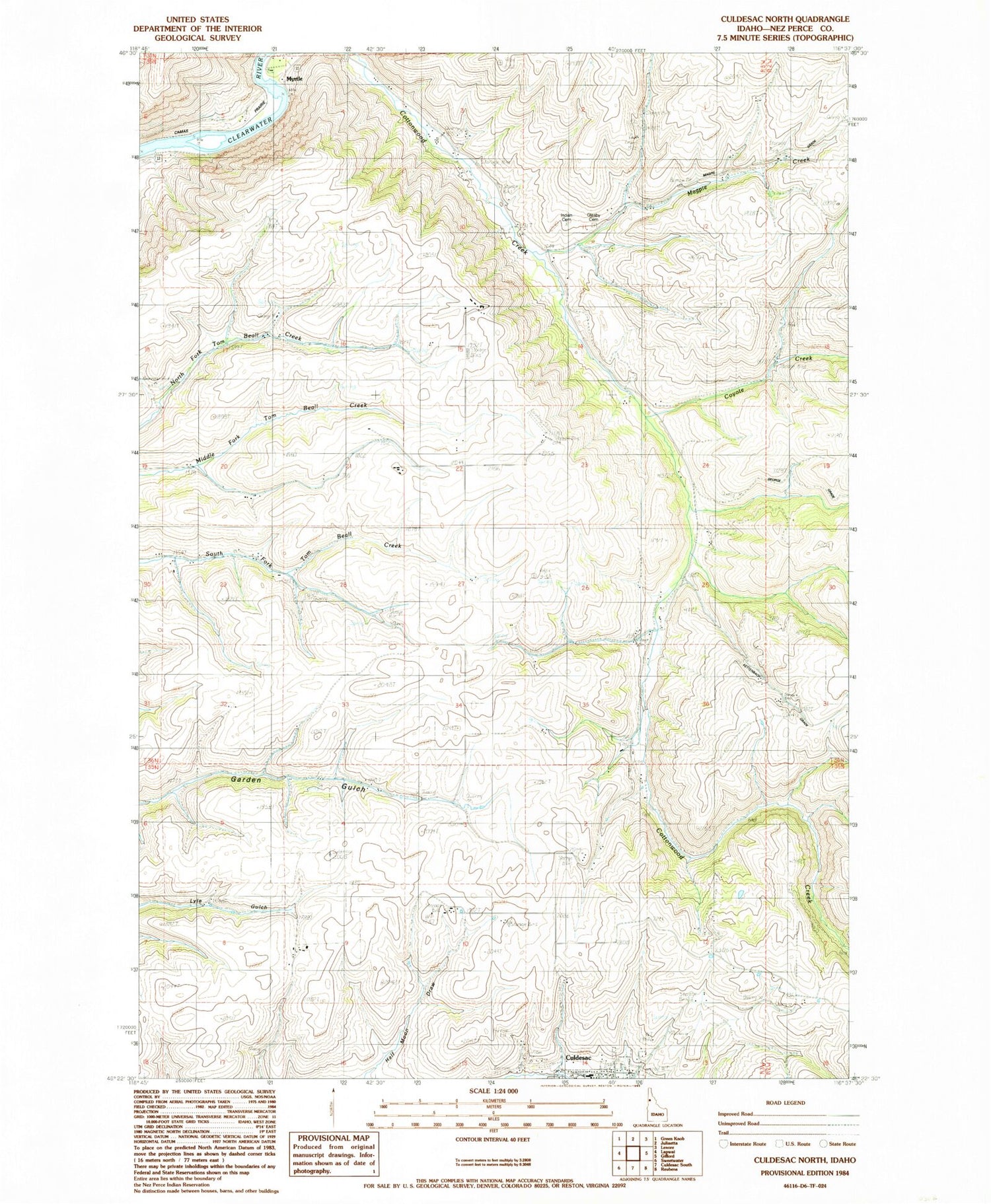
MyTopo
Classic USGS Culdesac North Idaho 7.5'x7.5' Topo Map
Regular price
$16.95
Regular price
Sale price
$16.95
Unit price
per
Couldn't load pickup availability
Historical USGS topographic quad map of Culdesac North in the state of Idaho. Map scale may vary for some years, but is generally around 1:24,000. Print size is approximately 24" x 27"
This quadrangle is in the following counties: Nez Perce.
The map contains contour lines, roads, rivers, towns, and lakes. Printed on high-quality waterproof paper with UV fade-resistant inks, and shipped rolled.
Contains the following named places: Cottonwood Creek, Coyote Creek, Culdesac Cemetery, Culdesac School, Glasby Cemetery, Half Moon Draw, Indian Cemetery, Magpie Creek, Myrtle, Myrtle Access, Nez Perce Division