MyTopo
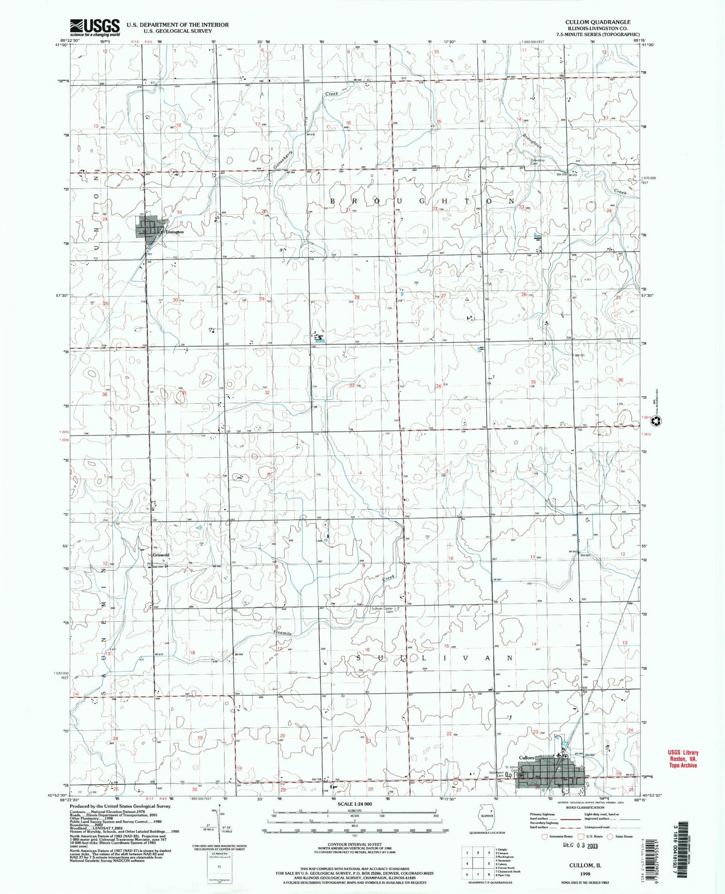
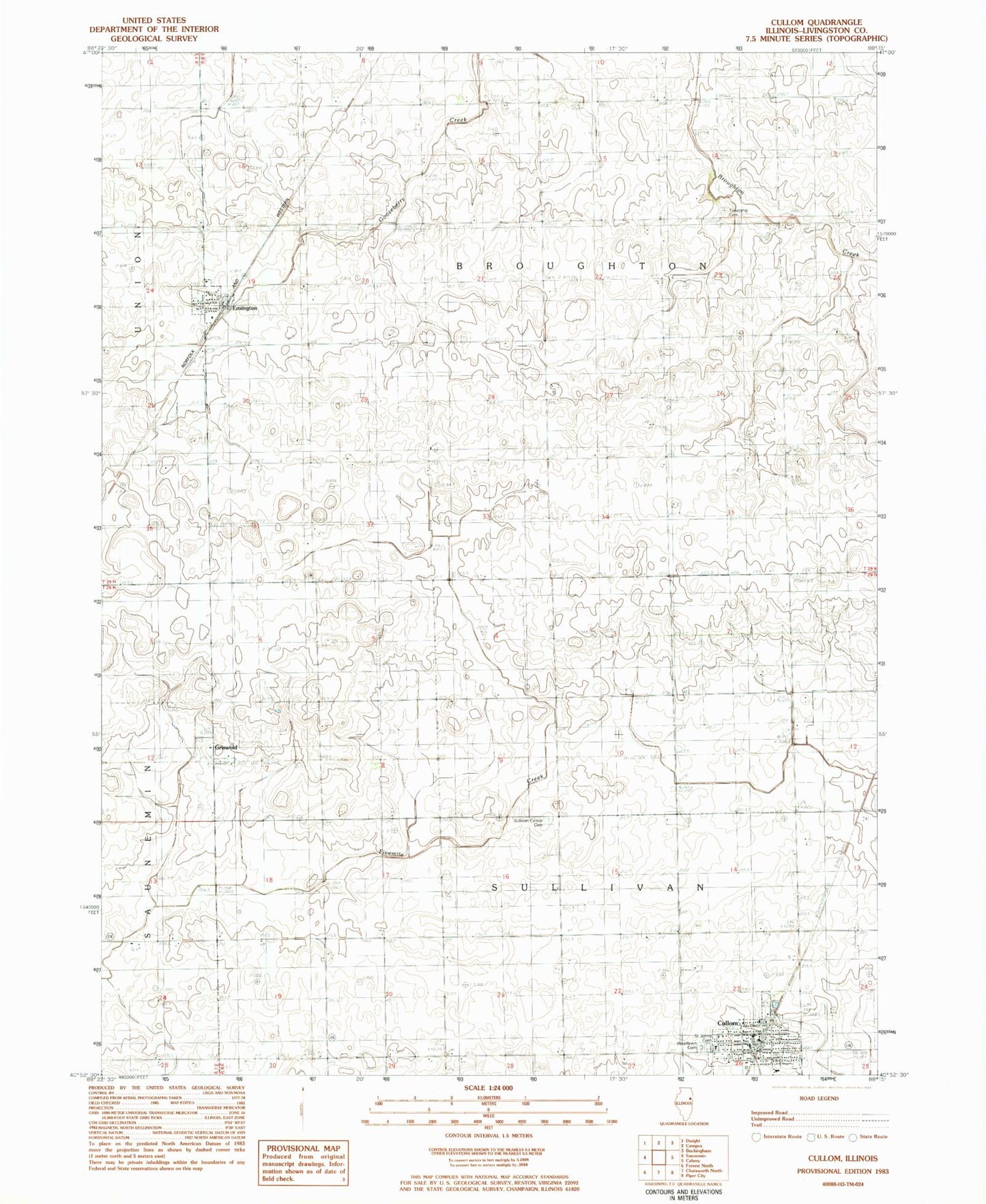
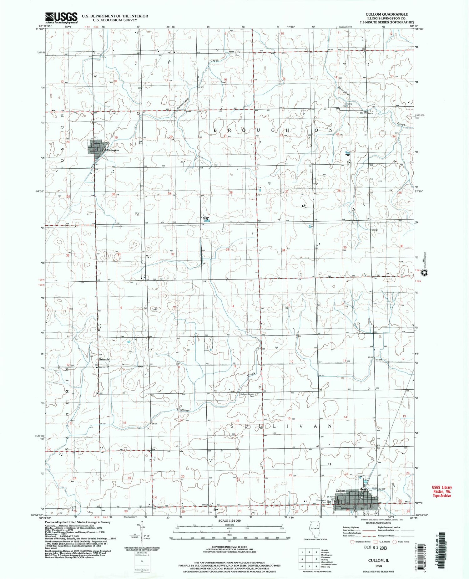
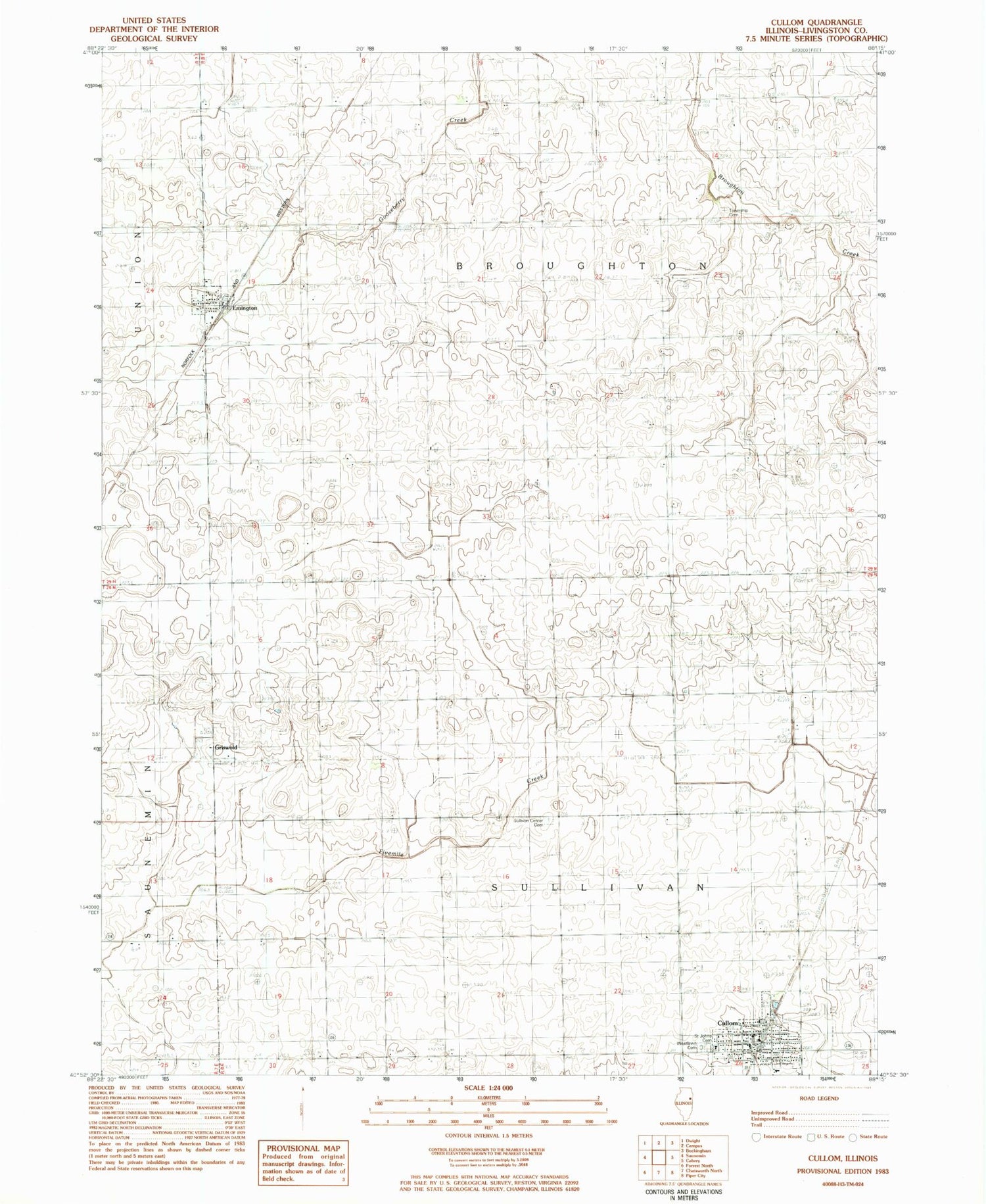
Classic USGS Cullom Illinois 7.5'x7.5' Topo Map
Couldn't load pickup availability
Historical USGS topographic quad map of Cullom in the state of Illinois. Map scale may vary for some years, but is generally around 1:24,000. Print size is approximately 24" x 27"
This quadrangle is in the following counties: Livingston.
The map contains contour lines, roads, rivers, towns, and lakes. Printed on high-quality waterproof paper with UV fade-resistant inks, and shipped rolled.
Contains the following named places: Broughton Township Cemetery, Center School, Close School, Cullom, Cullom Fire Department, Cullom Post Office, Emington, Emington Post Office, Emington School, Godbee RLA Airport, Griswold, Griswold School, Kingdom School, Lamb School, Saint Johns Cemetery, Saxon, Skinner School, Sullivan Center, Sullivan Center Cemetery, Township of Broughton, Township of Sullivan, Tri-Point High School, Village of Cullom, Village of Emington, West Lawn Cemetery, ZIP Code: 60934