MyTopo
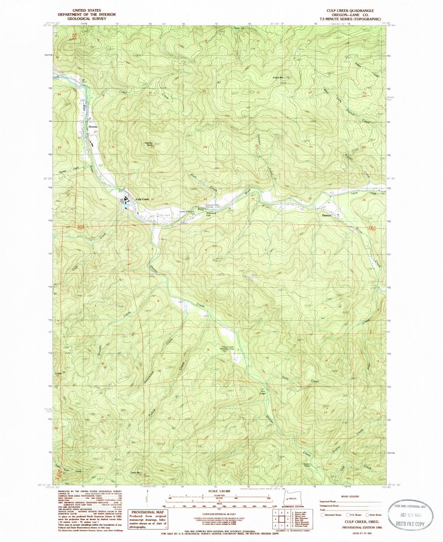
Classic USGS Culp Creek Oregon 7.5'x7.5' Topo Map
Couldn't load pickup availability
Historical USGS topographic quad map of Culp Creek in the state of Oregon. Map scale may vary for some years, but is generally around 1:24,000. Print size is approximately 24" x 27"
This quadrangle is in the following counties: Lane.
The map contains contour lines, roads, rivers, towns, and lakes. Printed on high-quality waterproof paper with UV fade-resistant inks, and shipped rolled.
Contains the following named places: Alder Creek, Bluff Post Office, Boulder Creek, Brice Creek, Cottage Grove Division, Culp Creek, Culp Creek Post Office, Damewood Creek, Disston, Disston Post Office, Dorena, Dorena Post Office, Gleason Creek, Green Mountain, Hawley Butte, Hawley Creek, Hunt Creek, Hunts, Lasells D Stewart County Park, Layng Creek, Pitcher Creek, Pony Bridge, Pony Creek, Red Bridge, Rocky Point, Row River Lumber Company Number 2, Sallee Creek, Sharps Creek, Sharps Creek Recreation Area, Sharps Creek Wayside, Spring Brook, Staples Covered Bridge, Staples Creek, Star, Star Post Office, Table Creek, Table Mountain, Wee Creek, Wildwood Falls, Wildwood Falls County Park, Wildwood Post Office


