MyTopo
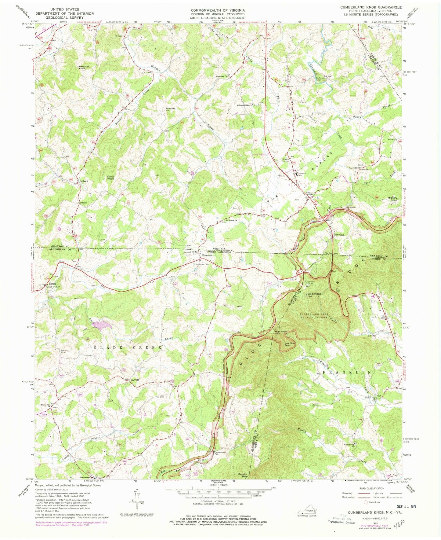
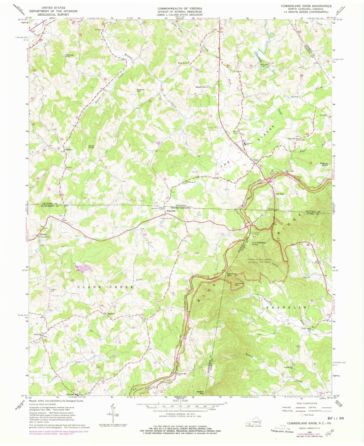
Classic USGS Cumberland Knob North Carolina 7.5'x7.5' Topo Map
Couldn't load pickup availability
Historical USGS topographic quad map of Cumberland Knob in the states of North Carolina, Virginia. Map scale may vary for some years, but is generally around 1:24,000. Print size is approximately 24" x 27"
This quadrangle is in the following counties: Alleghany, Carroll, Grayson, Surry.
The map contains contour lines, roads, rivers, towns, and lakes. Printed on high-quality waterproof paper with UV fade-resistant inks, and shipped rolled.
Contains the following named places: Barrett, Barrett Mill, Beaver Creek, Big Spring Church, Camp Creek, Crab Creek Cemetery, Crab Creek Primitive Baptist Church, Cresthaven Farms, Crestview Golf Course, Cumberland Knob, Cumberland Knob Recreation Area, Davis Knob, Delhart, East Fork Chestnut Creek, Edmonds, Edwards Hill, Edwards Mill, Ennice, Ennice Post Office, Fairview Elementary School, Fisher Gap Primitive Baptist Church, Fishers Gap Cemetery, Glade Creek School, Glady Fork, Grayson Quarry, Hammons Mill, Hampton Knob, Hickory Knob, Higgins Cemetery, Higgins Mill, High Piney Spur, Killien Mill, Little Pine Cemetery, Little Pine Church of the Brethren, Little Pine School, Low Gap, Low Piney Spur, McKnights Mill, Meadow Creek Church, Meadow Creek Dairy, Meadow Creek School, Mountvale Church, Norville Crags, Old Town District, Piney Creek, Rector School, Roaring Gap Baptist Church, Roaring Gap Cemetery, Saddle Mountain, Saddle Mountain Cemetery, Saddle Mountain Union Baptist Church, Savannah Cemetery, Savannah United Methodist Church, Snow Hill Church, Snow Hill School, The Glades, Tolivers School, Tolliver Chapel, Township of Glade Creek, WBRF-FM (Galax), West Fork Chestnut Creek, ZIP Code: 28623


