MyTopo
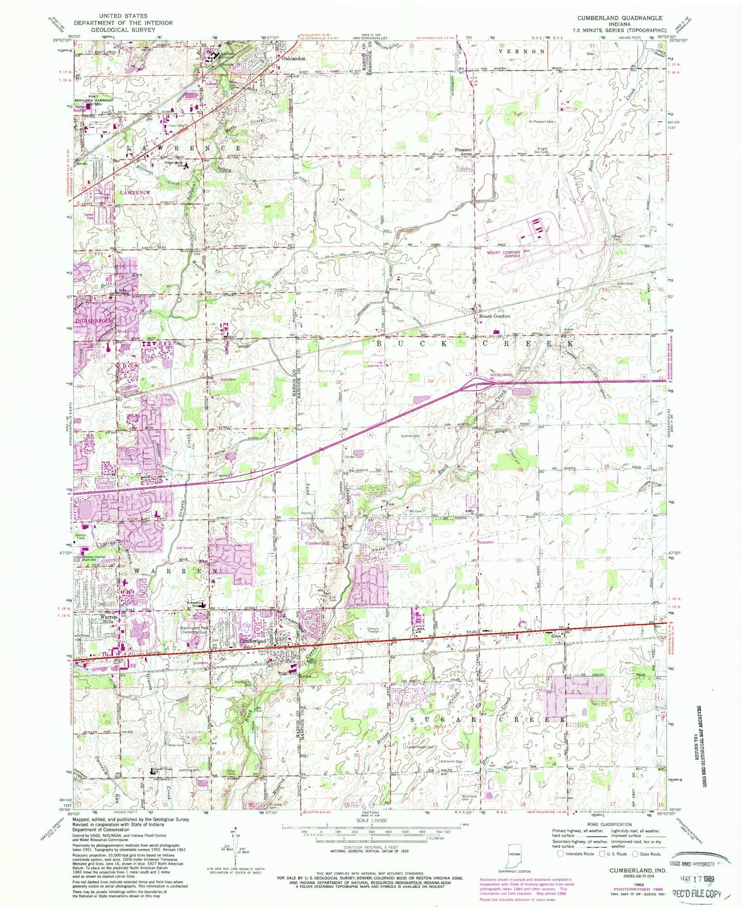
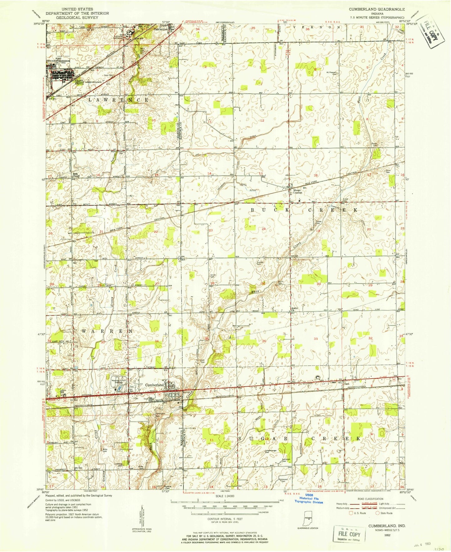
Classic USGS Cumberland Indiana 7.5'x7.5' Topo Map
Couldn't load pickup availability
Historical USGS topographic quad map of Cumberland in the state of Indiana. Map scale may vary for some years, but is generally around 1:24,000. Print size is approximately 24" x 27"
This quadrangle is in the following counties: Hancock, Marion.
The map contains contour lines, roads, rivers, towns, and lakes. Printed on high-quality waterproof paper with UV fade-resistant inks, and shipped rolled.
Contains the following named places: Amity Branch, Amity United Methodist Church, Arnett Cemetery, Augusta Hills Golf Course, Bel East Park, Bells Chapel Church of God, Bells Run, Billings Creek, Billings Veterans Administration Hospital, Brave Creek, Breier Arm, Buck Creek Township Fire Department, Burris Cemetery, Burris Ditch, Calvary Baptist Church, Cherry Tree Professional Center, Cherry Tree Shopping Center, Chime Run, City of Lawrence, Creston Middle School, Cumberland, Cumberland Cemetery, Cumberland Creek, Cumberland First Baptist Church, Cumberland Police Department, Cumberland Post Office, Doe Creek Middle School, Dunn Ditch, East Ridge Elementary School, Field Creek, Fish Cemetery, Gem, German Church And East 30th Street Park, German Church Road Cemetery, Grassy Creek Elementary School, Grassy Creek Park, Hawley Hospital, Hay Run, Heather Hills Baptist Church, Heather Hills Elementary School, Heinrich Ditch, Hoss Cemetery, Hoss Creek, Hunter Mitthoefer Ditch, Huntington Cemetery, Indian Creek Elementary School, Indianapolis Fire Department Station 2, Indianapolis Fire Department Station 41, Indianapolis Fire Department Station 45, Indianapolis Regional Airport, John Marshall Junior High School, Kingen Gun Club, Kitley King Cemetery, Langenberger Cemetery, Lawrence Fire Department Station 37, Lead Creek, Lee Road Park, Luebking Cemetery, Maple Creek Golf Course, Memorial Park Cemetery, Mock Cemetery, Mock Creek, Morning Star Golf Course, Morris Ditch, Mount Carmel Academy, Mount Comfort, Mount Comfort Elementary School, Mount Comfort United Methodist Church, Mount Pleasant Cemetery, Muesing Cemetery, Oaklandon, O'Brian Ditch, Osborn Ditch, Papoose Creek, Park East Business Park, Parker Eastes Ditch, Paul Ruster Park, Pet Cemetery, Pleasant Acres, Prange Ditch, Raintree Plaza Shopping Center, Richmond Cemetery, Rothe Ditch, Rouark Ditch, Saint John United Church of Christ Cemetery, Schramm Cemetery, Scotten Cemetery, Snider Branch, Snider Cemetery, Squaw Run, Steele Cemetery, Steele Ditch, Straw Branch, Sugar Creek Elementary School, Sunnyside Sanitarium, Town of Cumberland, Township of Buck Creek, Veterans Memorial Park, Warren Branch Indianapolis-Marion County Public Library, Warren Hills, Washington Centre East Shopping Center, Washington Creek, Washington Park East Cemetery, Washington Shoppes, Washington Square Shopping Center, Wead Run, WEDM-FM (Indianapolis), Wesley Cemetery, Wesley Creek, Witte Cemetery, Young Ditch, ZIP Codes: 46229, 46235


