MyTopo
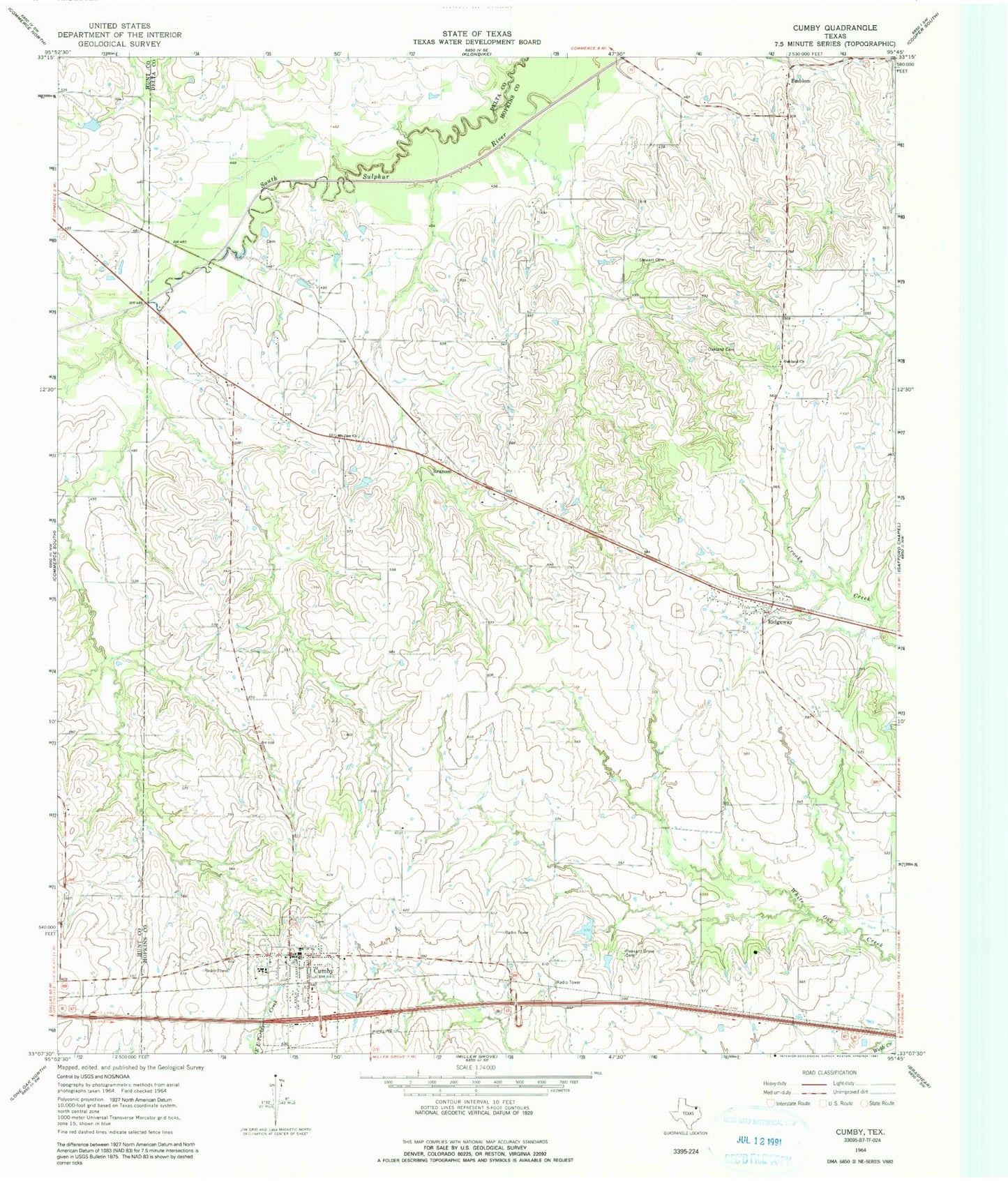
Classic USGS Cumby Texas 7.5'x7.5' Topo Map
Couldn't load pickup availability
Historical USGS topographic quad map of Cumby in the state of Texas. Map scale may vary for some years, but is generally around 1:24,000. Print size is approximately 24" x 27"
This quadrangle is in the following counties: Delta, Hopkins, Hunt.
The map contains contour lines, roads, rivers, towns, and lakes. Printed on high-quality waterproof paper with UV fade-resistant inks, and shipped rolled.
Contains the following named places: Branom, City of Cumby, City of Cumby Municipal Building, Cumby, Cumby Police Department, Cumby Post Office, Cumby Volunteer Fire Department, Emblem, Morris Manor Airport, Mount Zion Cemetery, Mount Zion Church, Oakland Cemetery, Oakland Church, Pleasant Grove Cemetery, Ridgeway, Stewart Cemetery, Texas No Name Number 39 Dam, Texas No Name Number 40 Dam