MyTopo
Classic USGS Cunningham Mountain Arizona 7.5'x7.5' Topo Map
Regular price
$16.95
Regular price
Sale price
$16.95
Unit price
per
Couldn't load pickup availability
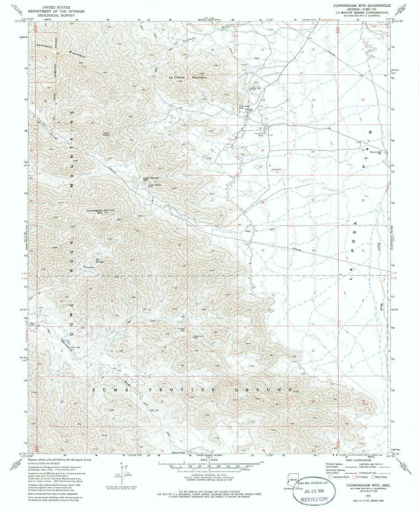
Historical USGS topographic quad map of Cunningham Mountain in the state of Arizona. Map scale may vary for some years, but is generally around 1:24,000. Print size is approximately 24" x 27"
This quadrangle is in the following counties: La Paz.
The map contains contour lines, roads, rivers, towns, and lakes. Printed on high-quality waterproof paper with UV fade-resistant inks, and shipped rolled.
Contains the following named places: Beamer Well, Cinnabar Mine, Copper Bottom Mine, Copper Bottom Pass, Cunningham Mountain, Ferra Peak, Kellogg Mine, Kuehn Well, La Cholla Mountain, Sawtooth Mountain, Tule Springs, Yellow Dog Mine, Yum-Yum Mine