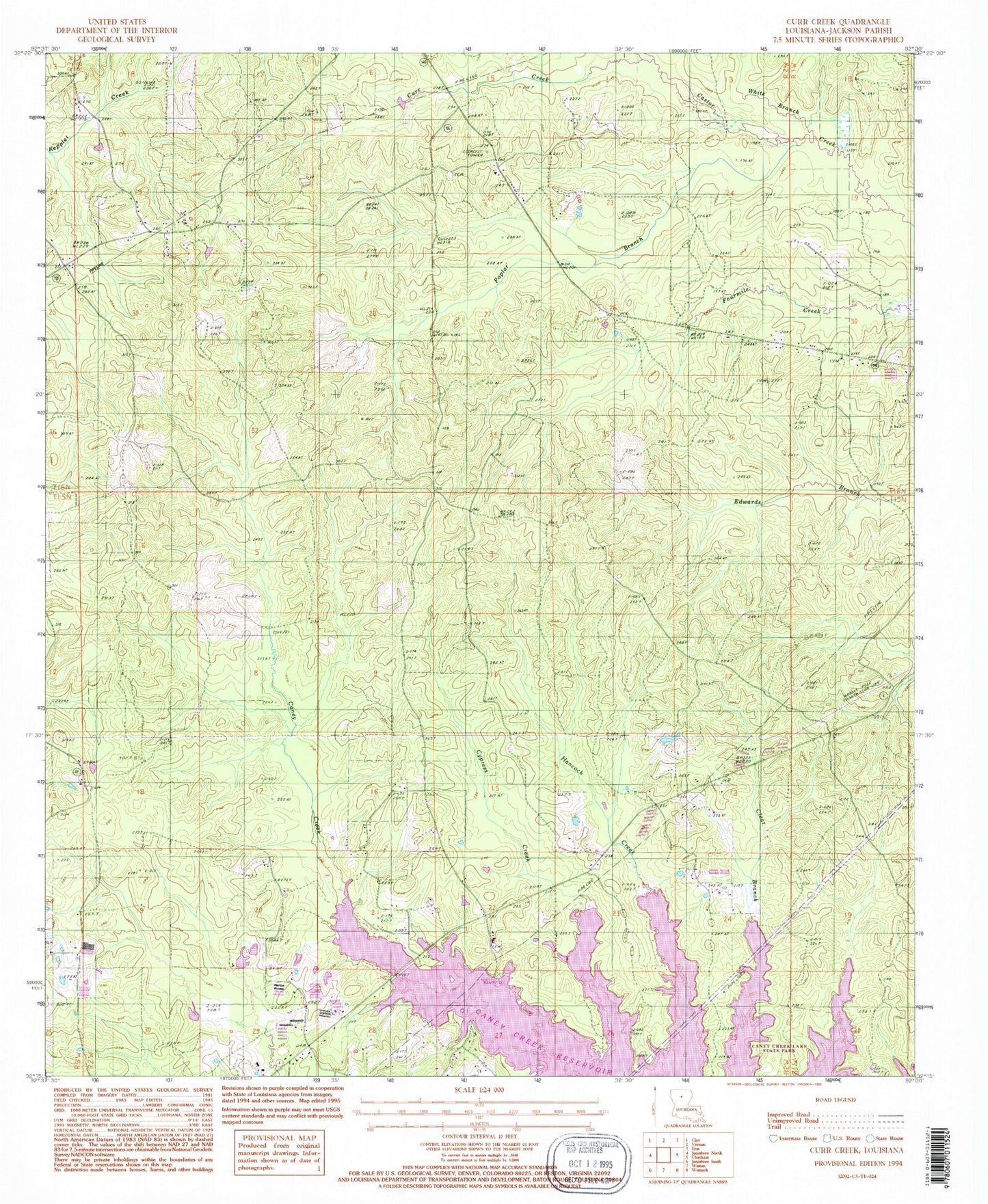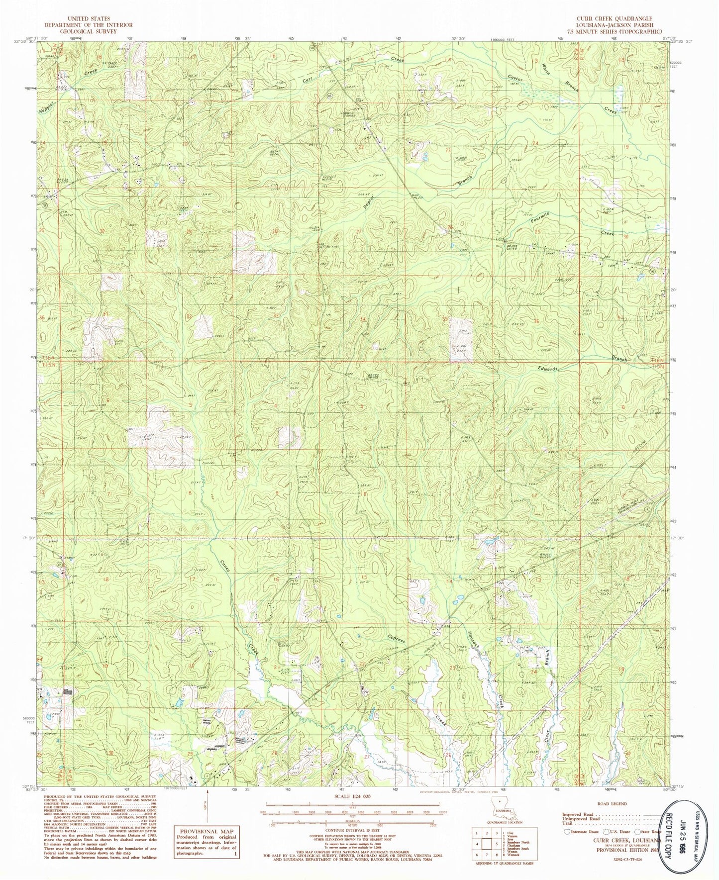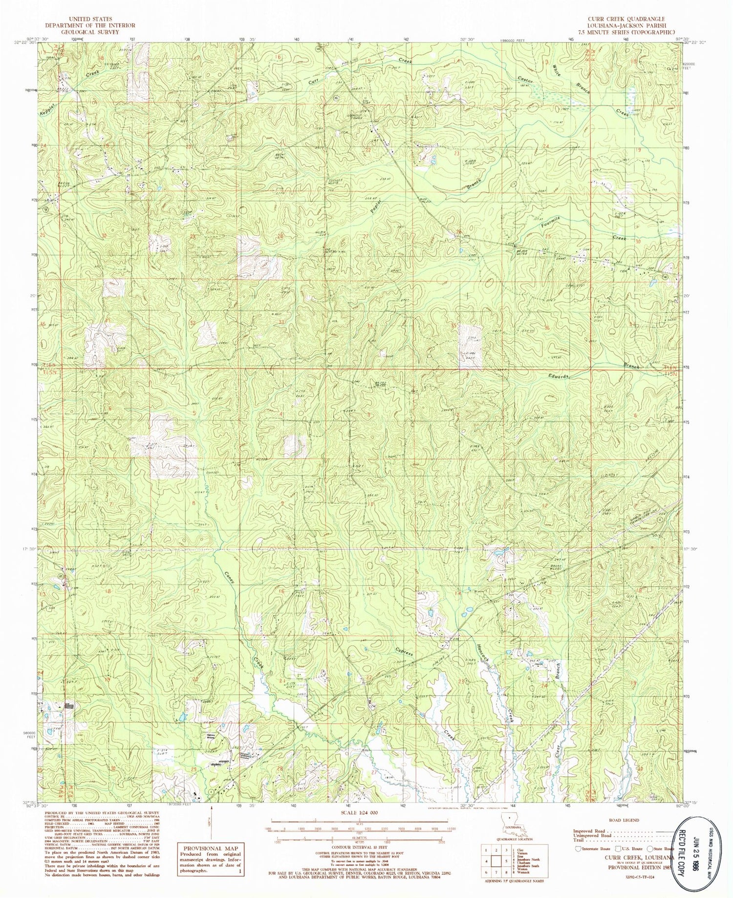
MyTopo
Classic USGS Curr Creek Louisiana 7.5'x7.5' Topo Map
Couldn't load pickup availability
Historical USGS topographic quad map of Curr Creek in the state of Louisiana. Typical map scale is 1:24,000, but may vary for certain years, if available. Print size: 24" x 27"
This quadrangle is in the following counties: Jackson.
The map contains contour lines, roads, rivers, towns, and lakes. Printed on high-quality waterproof paper with UV fade-resistant inks, and shipped rolled.
Contains the following named places: Curr Creek, Poplar Branch, Saint Clair Cemetery, Saint Clair Church, Saints Rest School, White Branch, Zion Church, Cypress Creek, Clear Branch Gas Field, Hebron Cemetery, Saint Claire, Saint Rest, Zion Rest Cemetery, Zion Rest Primitive Baptist Church, Ward Two, Adams Chapel Methodist Church, Ebenezer Missionary Baptist Church, Hebron Baptist Church, Jackson Parish, Vernon Lookout Tower, Hebron, Parish Governing Authority District 2, Ebenezer Baptist Church Cemetery, Collier / New Hope Cemetery, Caney Lake Memorial Gardens