MyTopo
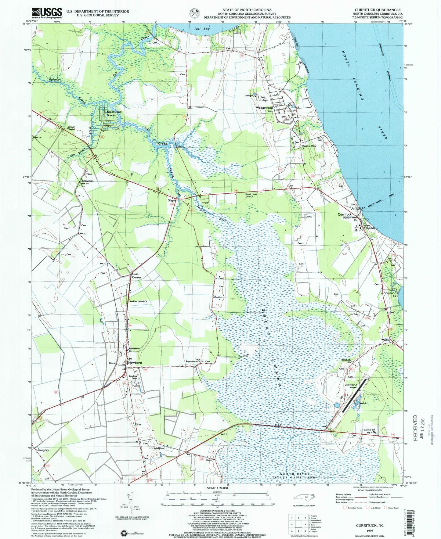
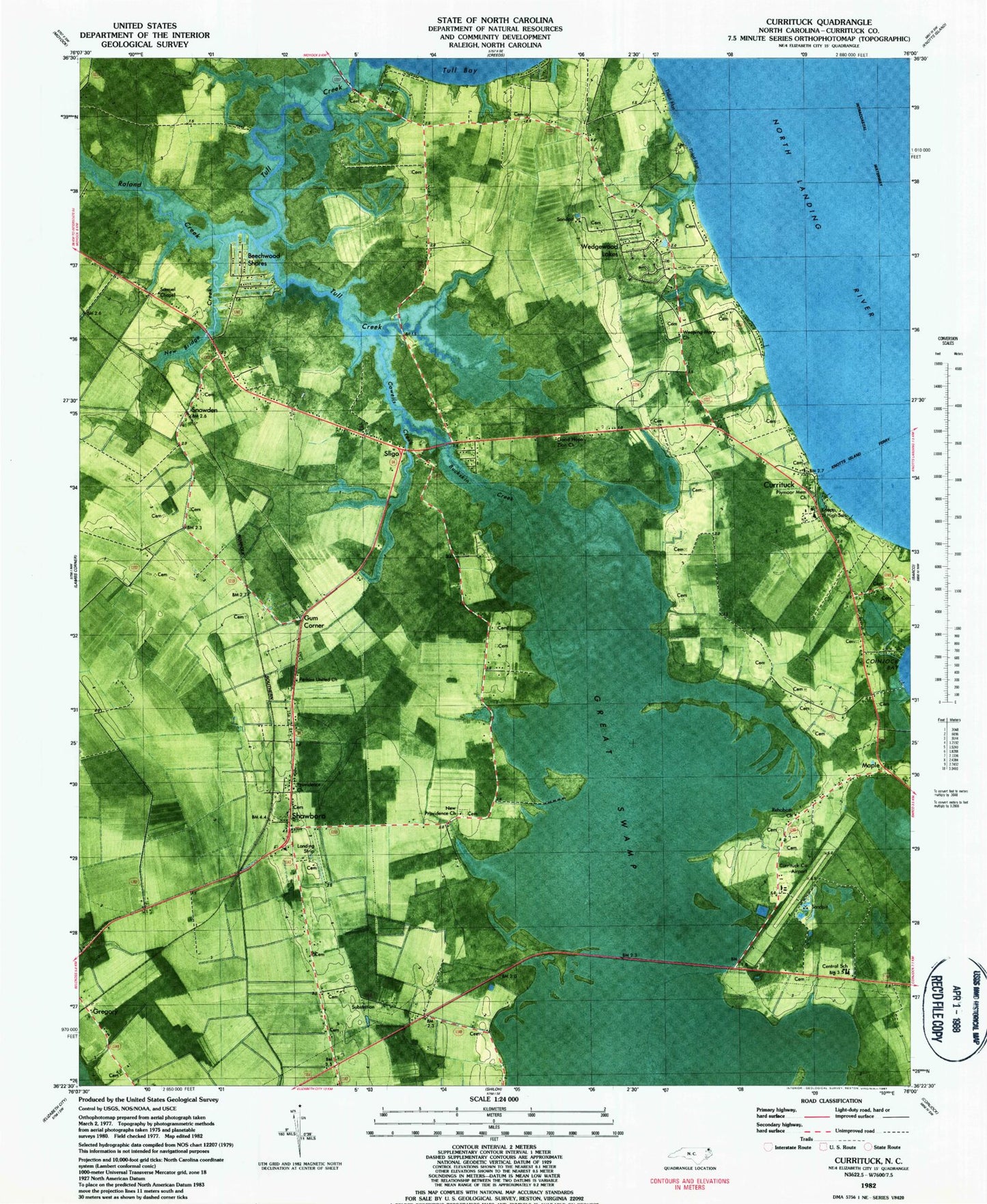
Classic USGS Currituck North Carolina 7.5'x7.5' Topo Map
Couldn't load pickup availability
Historical USGS topographic quad map of Currituck in the state of North Carolina. Map scale may vary for some years, but is generally around 1:24,000. Print size is approximately 24" x 27"
This quadrangle is in the following counties: Currituck.
The map contains contour lines, roads, rivers, towns, and lakes. Printed on high-quality waterproof paper with UV fade-resistant inks, and shipped rolled.
Contains the following named places: Ballance - Payne Cemetery, Beechwood Shores, Brabble Family Cemetery, Brumsey Road Cemetery, Buckskin Creek, Caleb Mathias Family Cemetery, Central Elementary School, Corner Gum, Cowells Creek, Crawford Volunteer Fire Company, Currituck, Currituck County Emergency Medical Services, Currituck County Regional Airport, Currituck County Schools Administrative Office, Currituck County Sheriff's Office, Currituck County Water Treatment Plant, Currituck Post Office, East Gab Court House, Ferebee Landing Strip, Good Hope Zion Church, Gregory, Indian Ridge, J P Knapp Junior High School, Maple, Maple Post Office, New Bridge Creek, New Providence, New Providence Church, North Carolina State Highway Patrol Troop A District 1 Substation, Perkins United Church, Plymoor Memorial Church, Providence Church, Rehoboth Church, Roland Creek, Samuel Chapel, Sanderlin Cemetery, Shawboro, Shawboro Post Office, Sligo, Snowden, Snowden Cemetery, Suburban Mobile Home Park, Township of Crawford, Tull Creek, Tulls, Wedgewood Lakes, Weeping Mary Church, ZIP Code: 27956


