MyTopo
Classic USGS Curry Lake Nebraska 7.5'x7.5' Topo Map
Couldn't load pickup availability
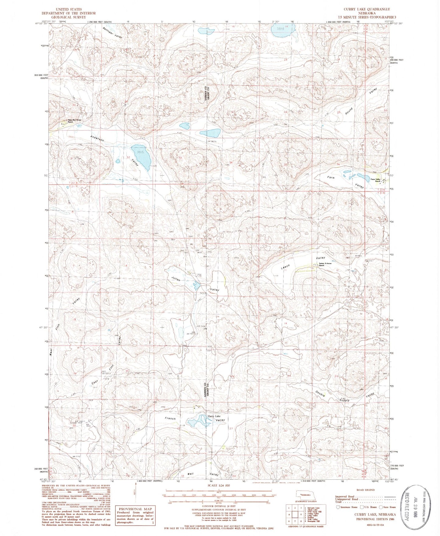
Historical USGS topographic quad map of Curry Lake in the state of Nebraska. Map scale may vary for some years, but is generally around 1:24,000. Print size is approximately 24" x 27"
This quadrangle is in the following counties: Garden, Grant.
The map contains contour lines, roads, rivers, towns, and lakes. Printed on high-quality waterproof paper with UV fade-resistant inks, and shipped rolled.
Contains the following named places: Anderson Valley, Curry Lake, Double Supply Valley, East Finn Valley, Farm Valley, Farm Valley Ranch, French Valley, Julian Valley, Leech Valley, Open Box Arrow Ranch, Rackett 4 Volunteer Fire Department, Round Valley, School Number 32, School Number 9, Sutton N-Arrow Ranch, West Finn Valley