MyTopo
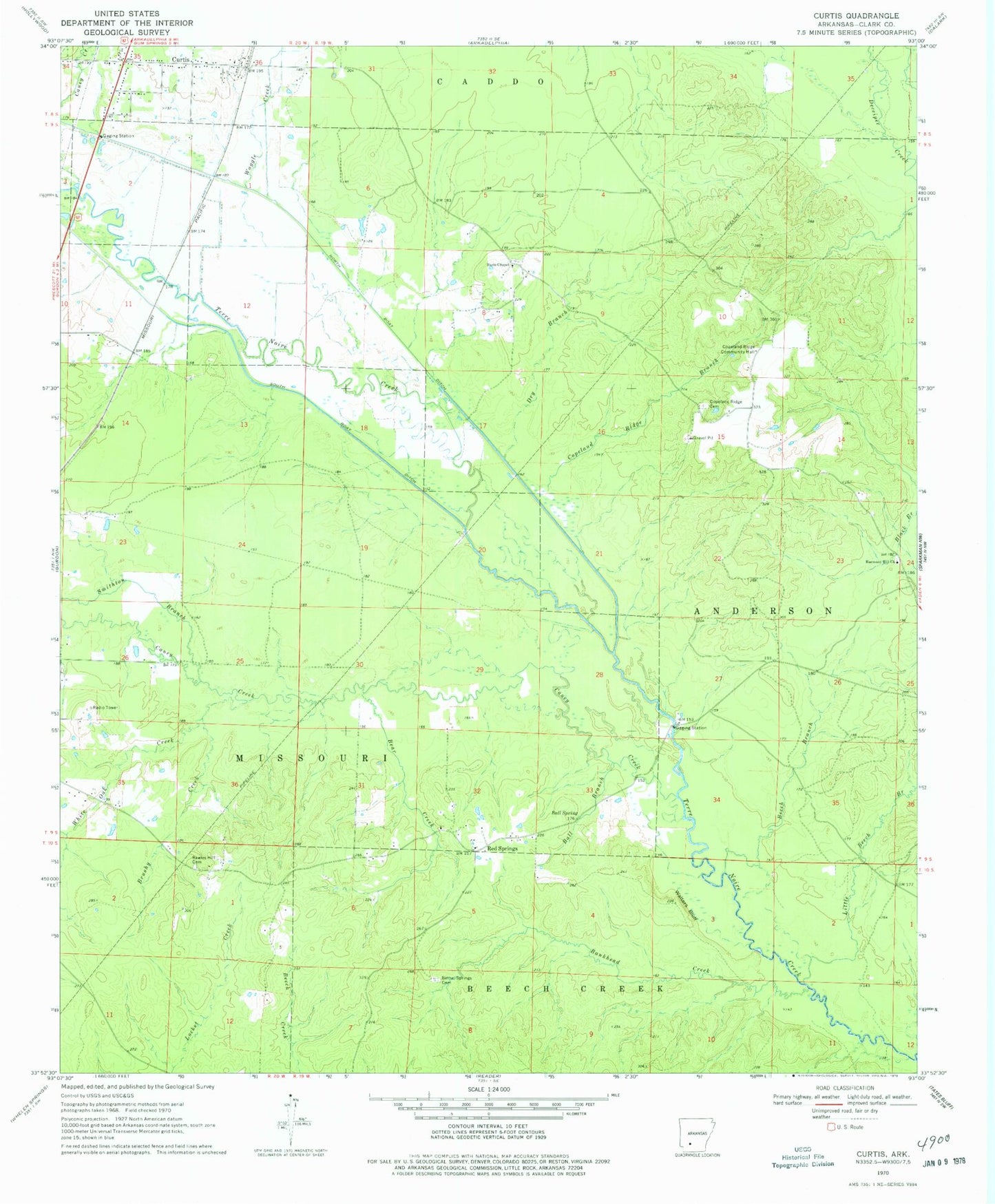
Classic USGS Curtis Arkansas 7.5'x7.5' Topo Map
Couldn't load pickup availability
Historical USGS topographic quad map of Curtis in the state of Arkansas. Map scale may vary for some years, but is generally around 1:24,000. Print size is approximately 24" x 27"
This quadrangle is in the following counties: Clark.
The map contains contour lines, roads, rivers, towns, and lakes. Printed on high-quality waterproof paper with UV fade-resistant inks, and shipped rolled.
Contains the following named places: Ball Branch, Ball Spring, Bankhead Creek, Bear Creek, Beech Branch, Bethel Springs Cemetery, Brushy Creek, Caney Creek, Copeland Ridge Branch, Copeland Ridge Cemetery, Copeland Ridge Community Hall, Curtis, Curtis Post Office, Dry Branch, Harmony Hill Baptist Church, Harts Chapel, KETG-TV (Arkadelphia), Little Beech Branch, Rawles Hill Cemetery, Red Springs, Smithton Branch, Waggle Creek, Walters Bluff, ZIP Code: 71743