MyTopo
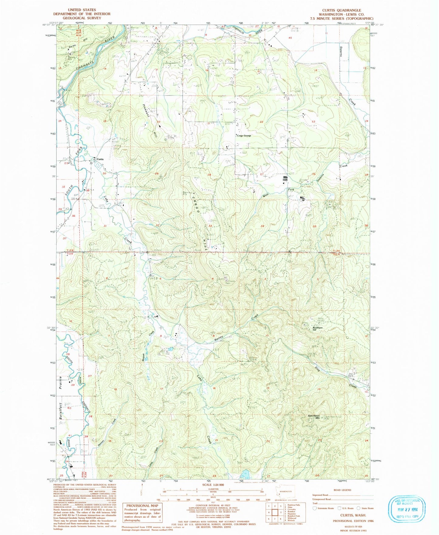
Classic USGS Curtis Washington 7.5'x7.5' Topo Map
Couldn't load pickup availability
Historical USGS topographic quad map of Curtis in the state of Washington. Map scale may vary for some years, but is generally around 1:24,000. Print size is approximately 24" x 27"
This quadrangle is in the following counties: Lewis.
The map contains contour lines, roads, rivers, towns, and lakes. Printed on high-quality waterproof paper with UV fade-resistant inks, and shipped rolled.
Contains the following named places: Barney Creek, Buckhorn Hill, Crego, Crego Grange, Crego Hill, Curtis, Curtis Airport, Curtis Post Office, Deep Creek, Follette Dam, KCKA-TV (Centralia), KMNT-FM (Centralia), Lake Creek, Lewis County Fire District 13 Station 2, Moquet Creek, Neiman Creek, Pleasant Hill, Pleasant Hill Cemetery, Ruth, Sam Henry Mountain, South Fork Chehalis River