MyTopo
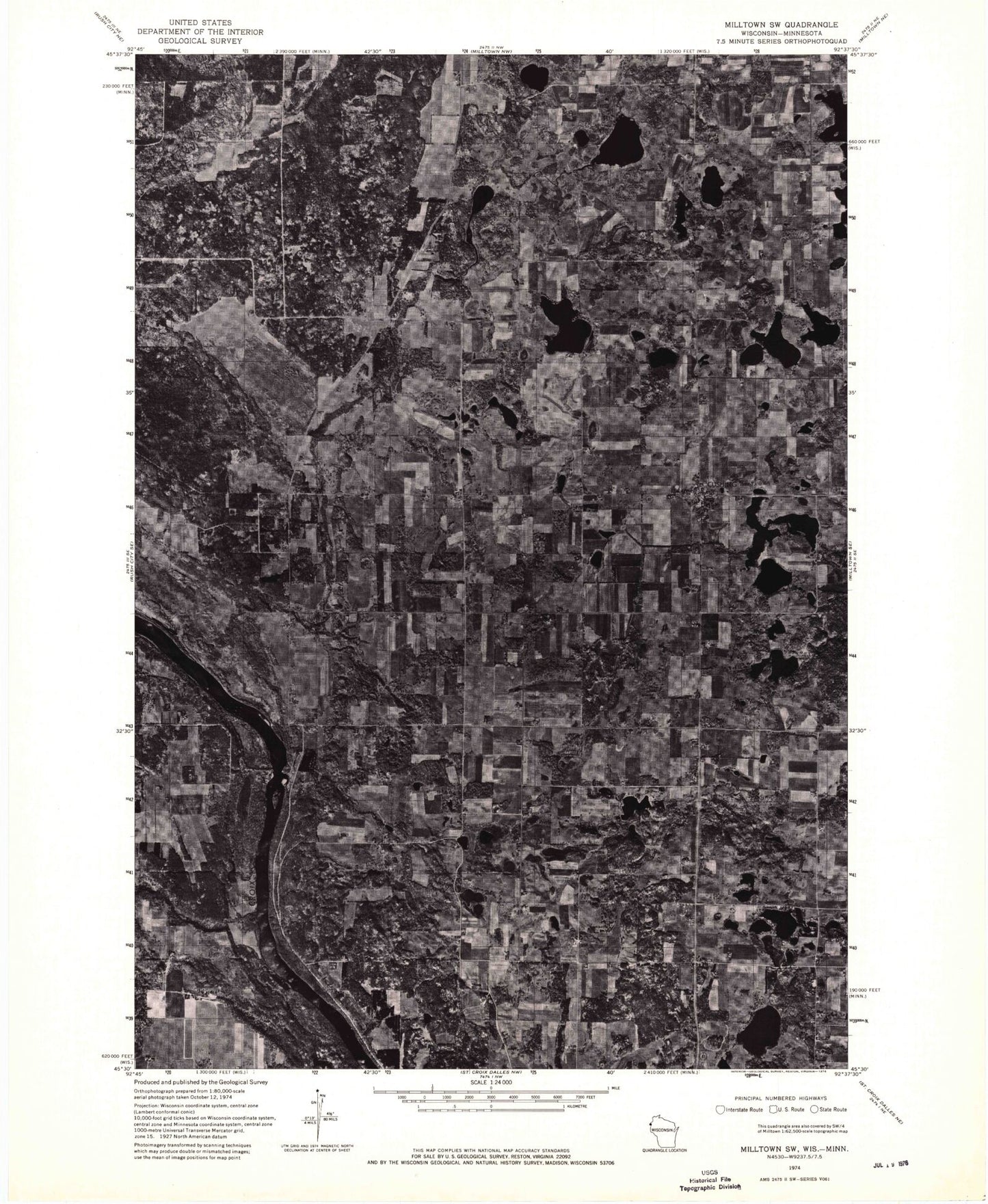
Classic USGS Cushing Wisconsin 7.5'x7.5' Topo Map
Couldn't load pickup availability
Historical USGS topographic quad map of Cushing in the states of Wisconsin, Minnesota. Map scale may vary for some years, but is generally around 1:24,000. Print size is approximately 24" x 27"
This quadrangle is in the following counties: Chisago, Polk.
The map contains contour lines, roads, rivers, towns, and lakes. Printed on high-quality waterproof paper with UV fade-resistant inks, and shipped rolled.
Contains the following named places: Amiks Pond, Bass Lake, Bass Lake School, Big Lake, Bog Lake, Cushing, Cushing Post Office, Cushing Rural Fire Department, Cushing School, Deer Creek, Deer Lake, Dry Creek, Eureka Center, Grandquist Lake, Herby Lake, Hoover Lake, Horseshoe Lake, Knife Lake, L Horseshoe Lake, Little Horseshoe Lake, Manitou Lake, Manitou Lake School, McKeith Lake, Mud Lake, Nevers Dam, Nimon Lake, Orr Lake, Orr School, Pine Island Lake, Rice Lake, Roger Lake, Round Lake, Simpson Lake, Sterling Townhall, T Lake, Tarbert Lake, Twin Lakes, Wolf Creek, Wolf Lake, ZIP Codes: 54006, 54024