
MyTopo
Classic USGS Cushman NE Montana 7.5'x7.5' Topo Map
Regular price
$16.95
Regular price
Sale price
$16.95
Unit price
per
Couldn't load pickup availability
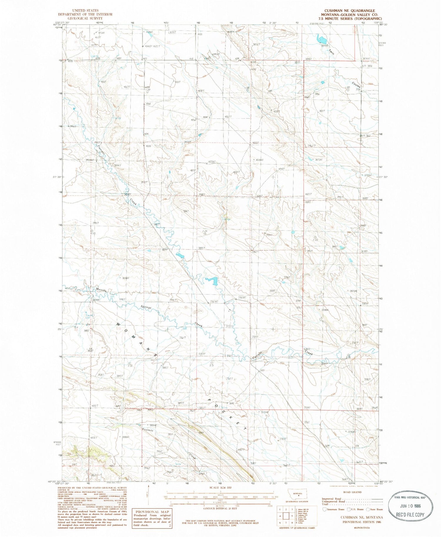
Historical USGS topographic quad map of Cushman NE in the state of Montana. Map scale may vary for some years, but is generally around 1:24,000. Print size is approximately 24" x 27"
This quadrangle is in the following counties: Golden Valley.
The map contains contour lines, roads, rivers, towns, and lakes. Printed on high-quality waterproof paper with UV fade-resistant inks, and shipped rolled.
Contains the following named places: 04N20E35DDAC01 Well, 08N21E29AAD_01 Well, 08N21E35DCC_01 Well, 59046, Folsom Post Office, George Rath Number 2 Dam, Lavina Division, Merrills Springs Creek, Tuffley Post Office


