MyTopo
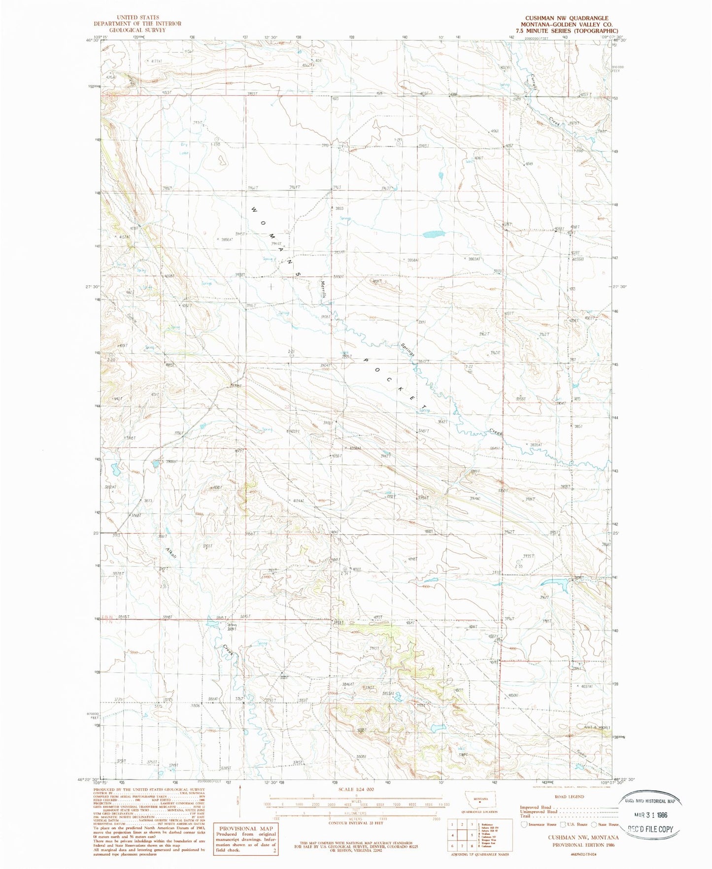
Classic USGS Cushman NW Montana 7.5'x7.5' Topo Map
Regular price
$16.95
Regular price
Sale price
$16.95
Unit price
per
Couldn't load pickup availability
Historical USGS topographic quad map of Cushman NW in the state of Montana. Map scale may vary for some years, but is generally around 1:24,000. Print size is approximately 24" x 27"
This quadrangle is in the following counties: Golden Valley.
The map contains contour lines, roads, rivers, towns, and lakes. Printed on high-quality waterproof paper with UV fade-resistant inks, and shipped rolled.
Contains the following named places: 07N21E05BBC_01 Well, 08N21E30BBD_01 Well, Babbit Dam, George Rath Number 3 Dam, Golden Valley County, Hammer Number 1 Dam