MyTopo
Classic USGS Cusseta Alabama 7.5'x7.5' Topo Map
Couldn't load pickup availability
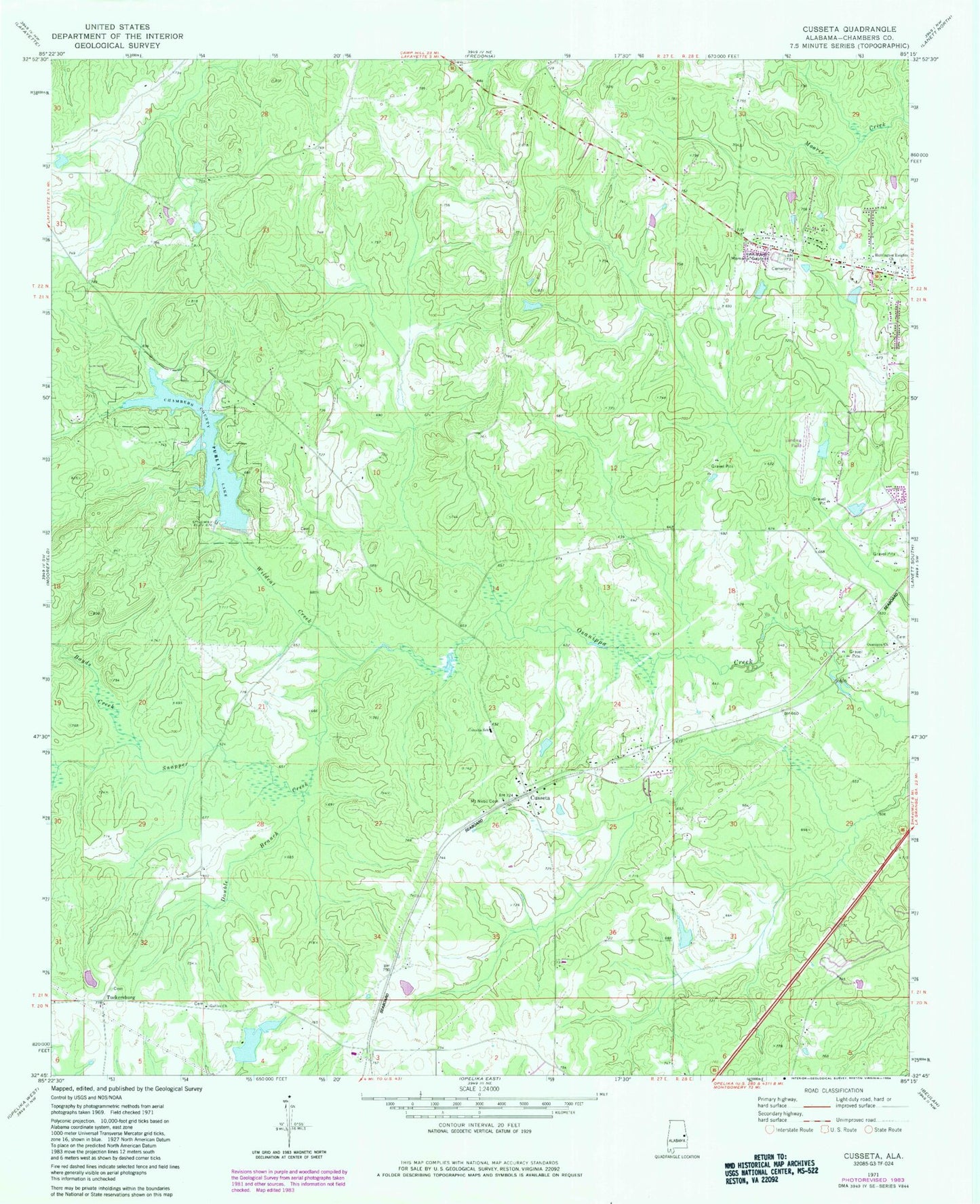
Historical USGS topographic quad map of Cusseta in the state of Alabama. Typical map scale is 1:24,000, but may vary for certain years, if available. Print size: 24" x 27"
This quadrangle is in the following counties: Chambers.
The map contains contour lines, roads, rivers, towns, and lakes. Printed on high-quality waterproof paper with UV fade-resistant inks, and shipped rolled.
Contains the following named places: Boyds Creek, Double Branch, Galilee Church, Harrington Heights Church, Mount Nebo Cemetery, Osanippa Church, Rest Haven Memorial Gardens, Snapper Creek, Wildcat Creek, Montgomerys Lake, Montgomery Dam, Flint Hill Dam, Chambers County Public Lake Dam, Bells Chapel, Cusseta Cemetery, Cussetaw (historical), Flint Hill Lake, Kilpatrick Lake, Sweet Home Church, True Faith Church, Watson Lake, Galilee Missionary Baptist Church Cemetery, Robertson Cemetery, Tuckersburg, Cusseta, Bell Chapel Cemetery, Mount Nebo Church, Cusseta School, Cusseta Post Office, Town of Cusseta, Chambers County Public Lake, Cusseta Volunteer Rural Fire and Rescue