MyTopo
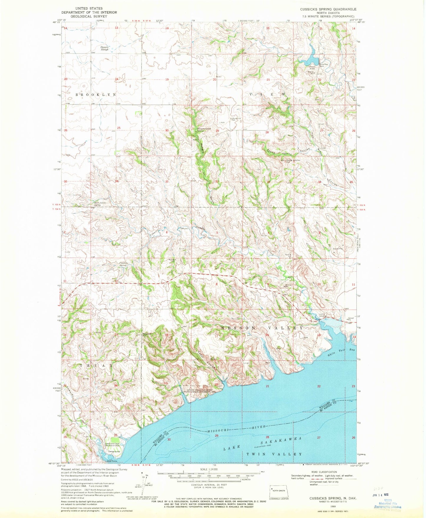
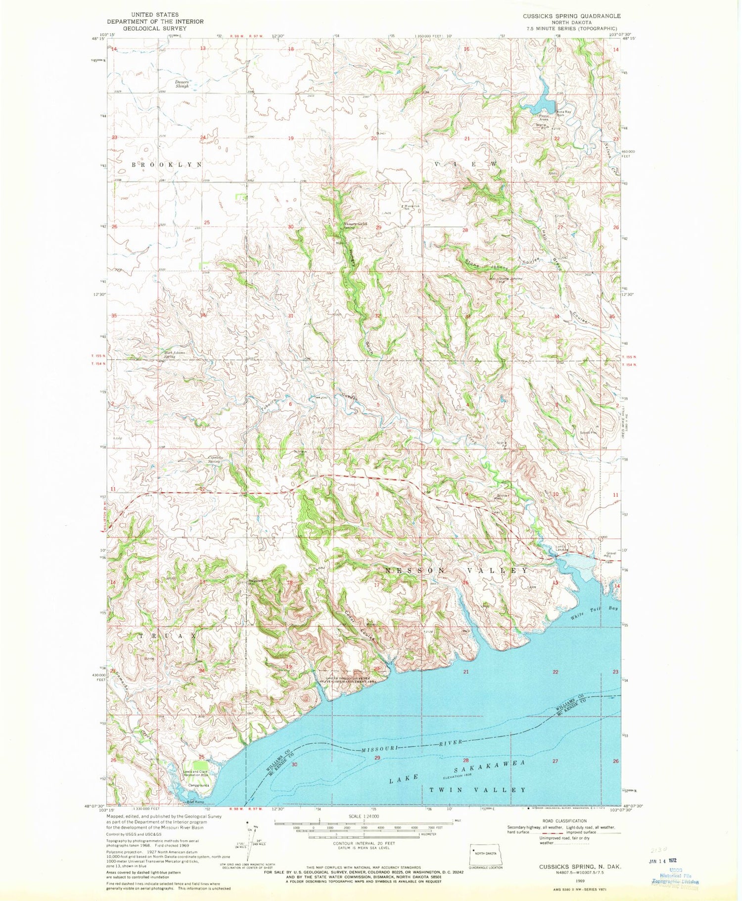
Classic USGS Cussicks Spring North Dakota 7.5'x7.5' Topo Map
Couldn't load pickup availability
Historical USGS topographic quad map of Cussicks Spring in the state of North Dakota. Map scale may vary for some years, but is generally around 1:24,000. Print size is approximately 24" x 27"
This quadrangle is in the following counties: McKenzie, Williams.
The map contains contour lines, roads, rivers, towns, and lakes. Printed on high-quality waterproof paper with UV fade-resistant inks, and shipped rolled.
Contains the following named places: Cedar Coulee, Cussicks Spring, Dauers Slough, David Watts Bluff, Flagstaff Hill, Gamache Creek, Hungry Gulch, Hungry Gulch Spring, Kota Ray Dam, Lewis and Clark Recreation Area, Lunds Landing, Mort Adams Spring, Nesson Post Office, North Tobacco Garden State Game Management Area, Ray Dam, Spanish Point, Stone Johnny Coulee, Stone Johnny Hill, Tobacco Garden Creek, Township of Nesson Valley, Township of View, Unorganized Territory of Nesson Valley, White Tail Bay, Wunderlick School


