MyTopo
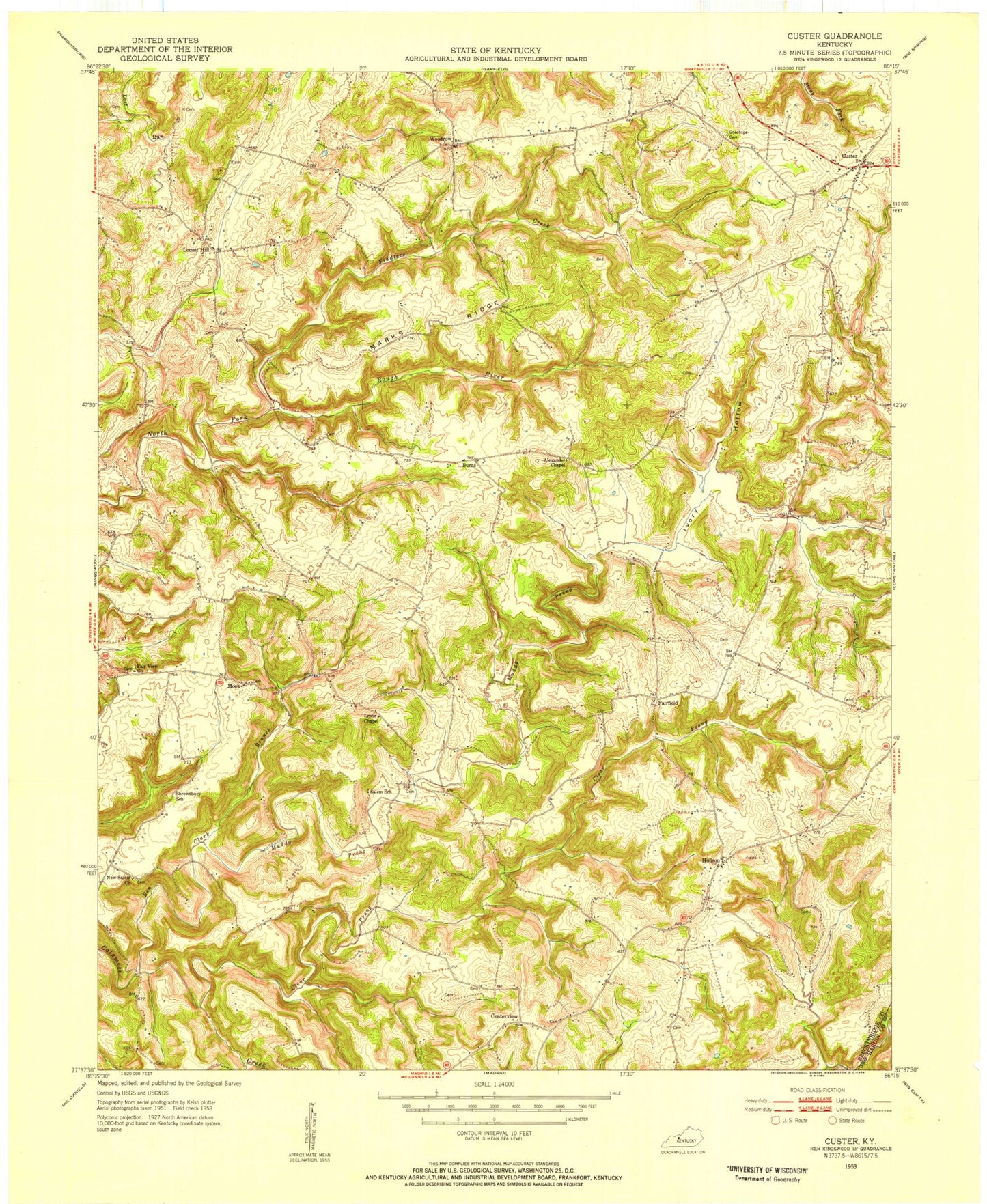
Classic USGS Custer Kentucky 7.5'x7.5' Topo Map
Couldn't load pickup availability
Historical USGS topographic quad map of Custer in the state of Kentucky. Map scale may vary for some years, but is generally around 1:24,000. Print size is approximately 24" x 27"
This quadrangle is in the following counties: Breckinridge, Hardin.
The map contains contour lines, roads, rivers, towns, and lakes. Printed on high-quality waterproof paper with UV fade-resistant inks, and shipped rolled.
Contains the following named places: Alexander Cemetery Number 2, Alexander Chapel, Ben Clark Branch, Buras, Butler Cemetery, Carman Cemetery, Centerview, Clear Prong, Comer Cemetery, Cook Cemetery, Custer, Custer Post Office, Davis Cemetery Number 1, Drane Cemetery, Duncan Valley, Elliott Cemetery, Fair View Church, Fairfield, Fiddlers Creek, Goodhope Cemetery, Horsley Cemetery, Hudson, Ivory Hollow, Locust Hill, Marks Ridge, McCamish Cemetery, McDaniels-Hudson Division, Mook, Muddy Prong, New Salem Church, Nichols Cemetery, Pile Cemetery Number 1, Sharp Cemetery, Tucker Cemetery, Turpin Cemetery, Whitworth Cemetery, Woodrow, ZIP Codes: 40144, 40145


