MyTopo
Classic USGS Cut And Shoot Texas 7.5'x7.5' Topo Map
Couldn't load pickup availability
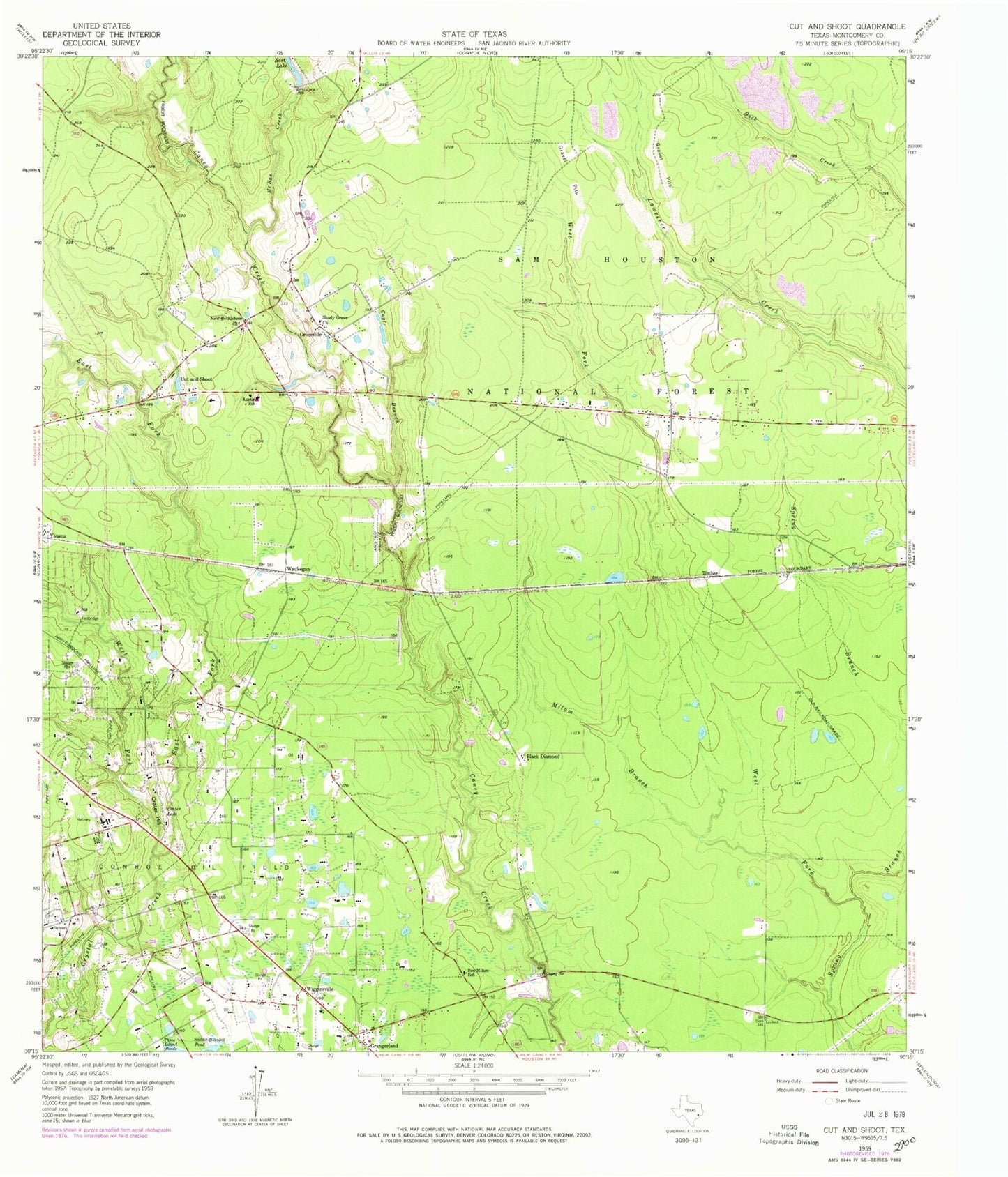
Historical USGS topographic quad map of Cut And Shoot in the state of Texas. Map scale may vary for some years, but is generally around 1:24,000. Print size is approximately 24" x 27"
This quadrangle is in the following counties: Montgomery.
The map contains contour lines, roads, rivers, towns, and lakes. Printed on high-quality waterproof paper with UV fade-resistant inks, and shipped rolled.
Contains the following named places: Austin Elementary School, Austin School, Bart Lake, Bart Lake Dam, Ben Milam School, Black Diamond, Cagle Branch, Caney Creek Fire and Rescue Station 81, Caney Creek High School, City of Cut and Shoot, Coney Creek High School Football Stadium, Crater Hill, Crater Lake, Creighton Intermediate School, Cut and Shoot, Cut and Shoot Airport, Cut and Shoot City Hall, Cut and Shoot Police Department, Cut and Shoot Post Office, Deerwood, Deerwood Census Designated Place, East Fork Crystal Creek, Grangerland, Grangerland Census Designated Place, Grangerland Volunteer Fire Department Station 41, Groceville, KJZS-FM (Conroe), Lake Wildwood, Lake Wildwood Dam, McRae Creek, Milam Branch, Montgomery County Hospital District Emergency Medical Services Station 12, Moorhead Junior High School, New Bethlehem Church, North Montgomery County Fire Department Station 97, North Montgomery County Fire Department Station 98, Saddle Blanket Pond, Shady Grove Church, Timber, Waukegan, West Fork Crystal Creek, West Fork Spring Branch, Wigginsville, Youens, ZIP Code: 77306