MyTopo
Classic USGS Cuthbert Georgia 7.5'x7.5' Topo Map
Couldn't load pickup availability
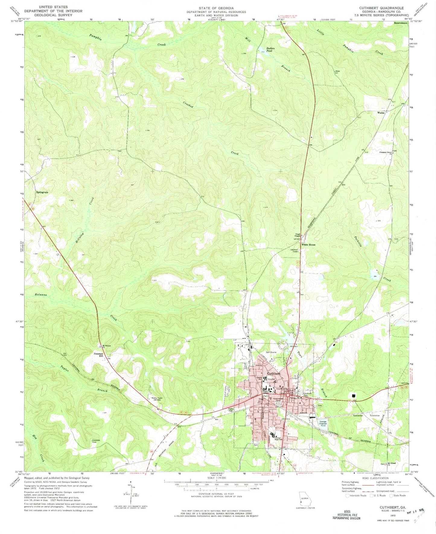
Historical USGS topographic quad map of Cuthbert in the state of Georgia. Map scale may vary for some years, but is generally around 1:24,000. Print size is approximately 24" x 27"
This quadrangle is in the following counties: Randolph.
The map contains contour lines, roads, rivers, towns, and lakes. Printed on high-quality waterproof paper with UV fade-resistant inks, and shipped rolled.
Contains the following named places: Andrew College, Antioch Baptist Church, Bells Mill, Bullock Lake, Bullock Lake Dam, Butlers Mill, Butlers Pond, Central Junction, City of Cuthbert, Cloud Lake, Cloud Lake Dam, Coles, Crooked Creek, Cuthbert, Cuthbert Fire Department, Cuthbert Historic District, Cuthbert Police Department, Cuthbert Post Office, Cuthbert Presbyterian Church, Cuthbert United Methodist Church, Eastview Cemetery, Ebenezer Cemetery, English Lake, English Lake Dam, Faircloth Lake, Faircloth Lake Dam, Faith Baptist Church, First Baptist Church of Cuthbert, Friendship Baptist Church, Friendship Baptist Church Cemetery, Georgia State Patrol Troop G Post 39 Cuthbert, Greenwood Cemetery, Grinols Lake, Grinols Lake Dam, Henderson Powell Cemetery, Maddox Lake, Maddox Lake Dam, McCallop Creek, Mount Gilead Church, Mount Gilead Church Cemetery, Mount Vernon Baptist Church Cemetery, Mount Vernon Church, New Beginning Holiness Church, Peterson Hill, Pitts Library, Pleasant Grove Church, Pleasant Grove Church Cemetery, Pumpkin Creek, Randolph Country Club, Randolph County, Randolph County Courthouse, Randolph County Emergency Management Fire Department and Rescue, Randolph County Jail, Randolph County Library, Randolph County Sheriff's Office, Randolph Elementary School, Randolph Middle School, Randolph-Clay High School, Seelys Mill, Southwest Georgia Regional Medical Center, Virgil Chapel, Wades, WCUG-AM (Cuthbert), WDRL-FM (Cuthbert), White House, ZIP Code: 39840


