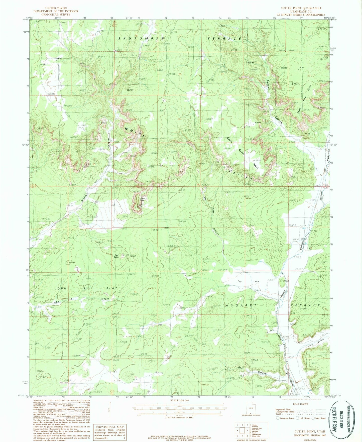
MyTopo
Classic USGS Cutler Point Utah 7.5'x7.5' Topo Map
Regular price
$16.95
Regular price
Sale price
$16.95
Unit price
per
Couldn't load pickup availability
Historical USGS topographic quad map of Cutler Point in the state of Utah. Map scale may vary for some years, but is generally around 1:24,000. Print size is approximately 24" x 27"
This quadrangle is in the following counties: Kane.
The map contains contour lines, roads, rivers, towns, and lakes. Printed on high-quality waterproof paper with UV fade-resistant inks, and shipped rolled.
Contains the following named places: Bunting Ranch, Burnt Cedar Point, Cottonwood Canyon, Cutler Point, Dry Lake, Dry Lake Canyon, Granary Ranch, John R Flat, Lone Pine Point, Long Canyon, Oak Canyon, Skutumpah Terrace, Swapp Canyon, Windmill Pictographs, Wygaret Terrace