MyTopo
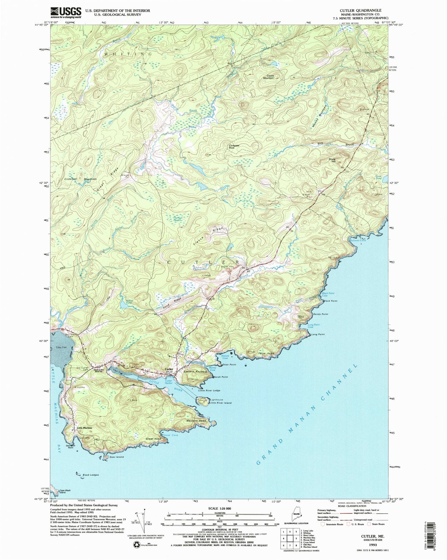
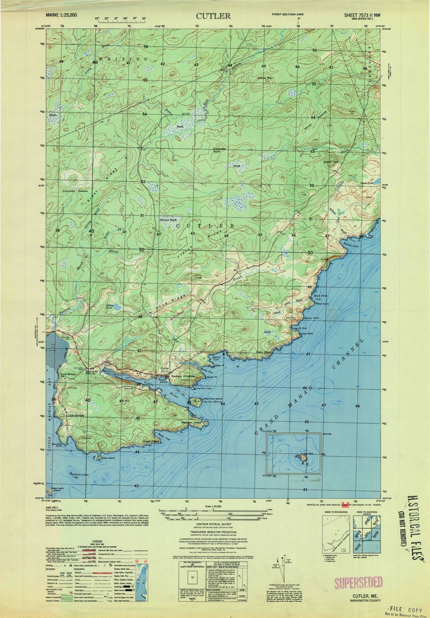
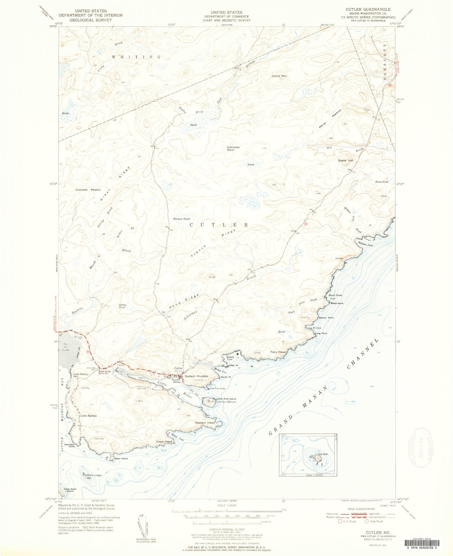
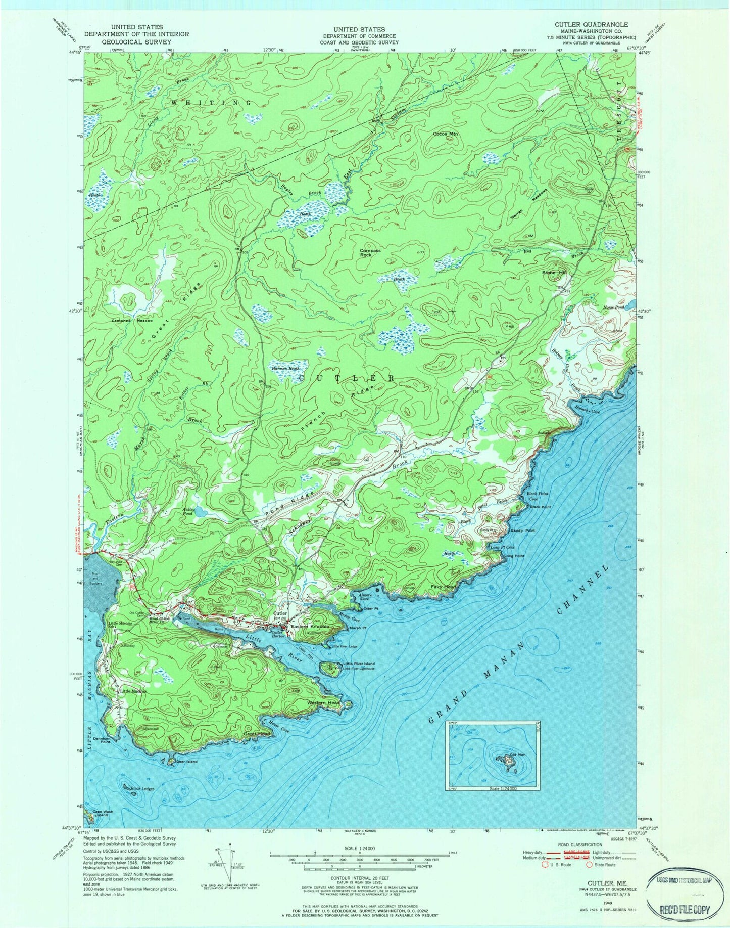
Classic USGS Cutler Maine 7.5'x7.5' Topo Map
Couldn't load pickup availability
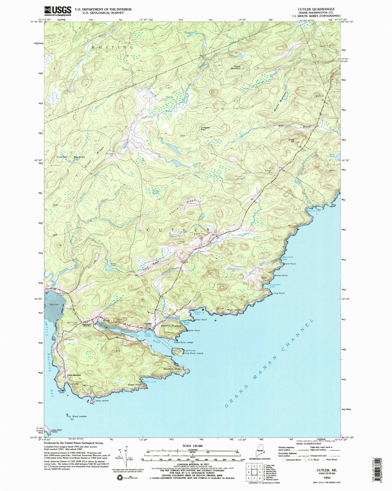
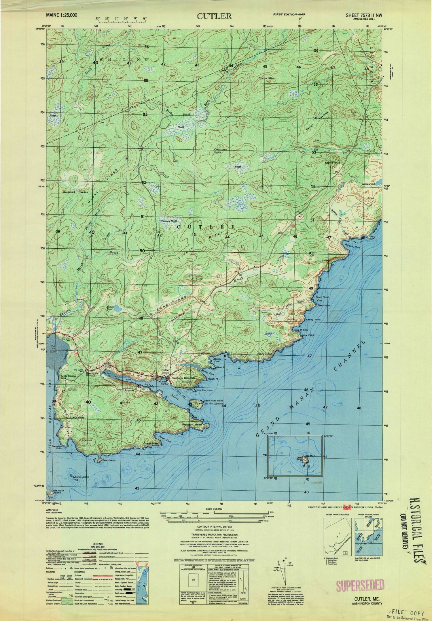
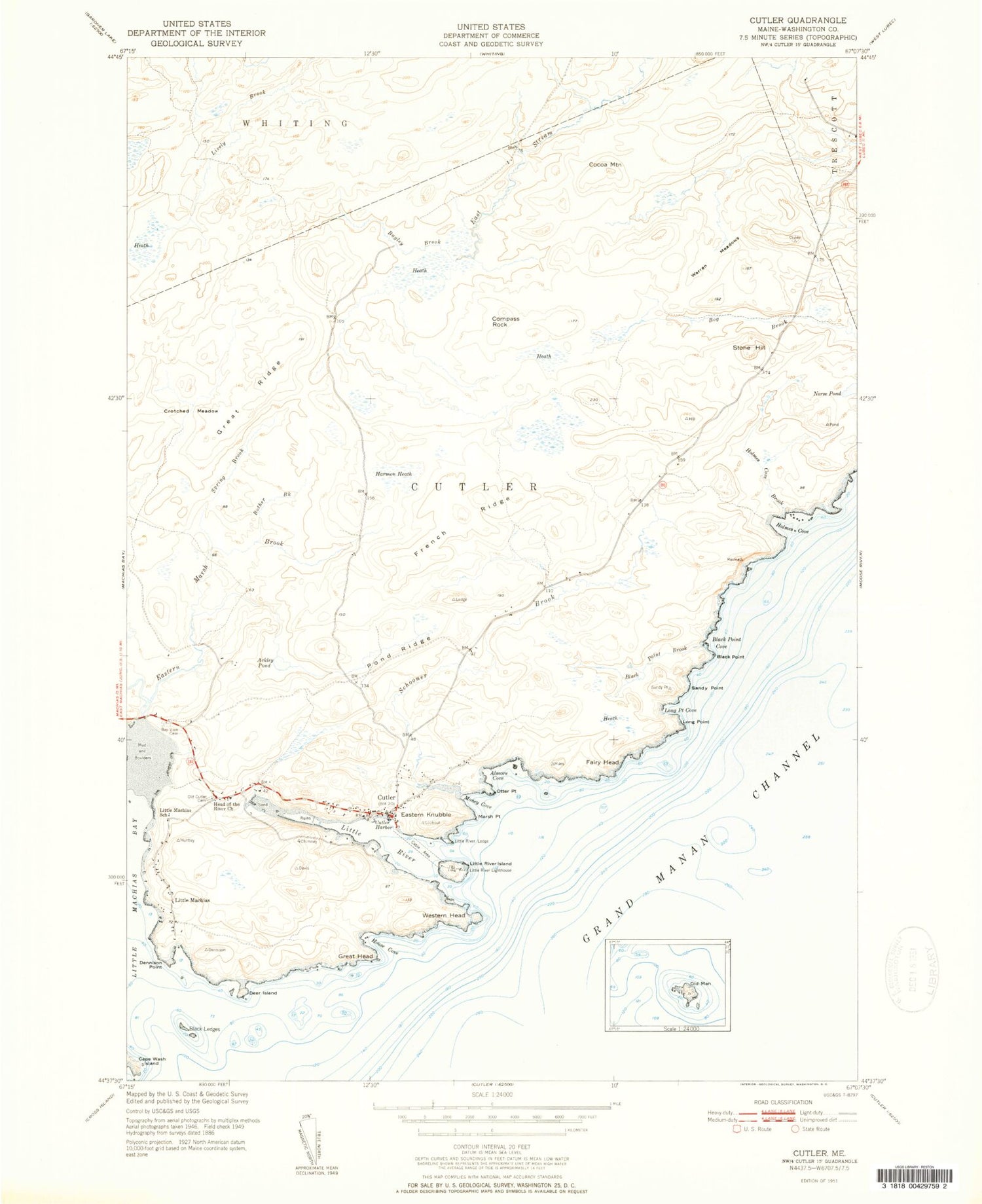
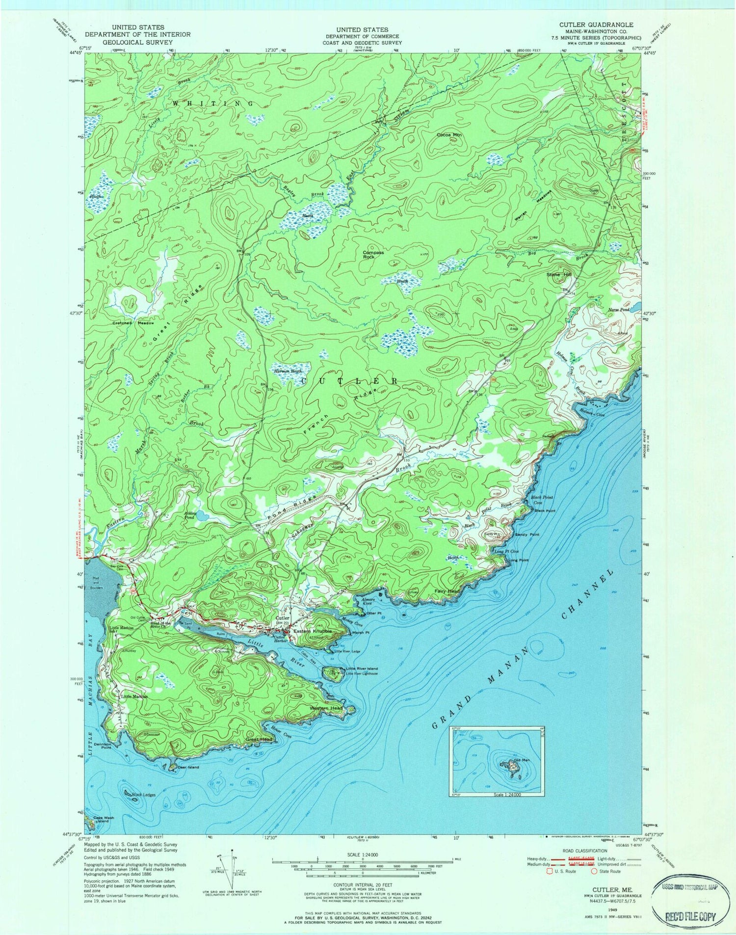
Historical USGS topographic quad map of Cutler in the state of Maine. Map scale may vary for some years, but is generally around 1:24,000. Print size is approximately 24" x 27"
This quadrangle is in the following counties: Washington.
The map contains contour lines, roads, rivers, towns, and lakes. Printed on high-quality waterproof paper with UV fade-resistant inks, and shipped rolled.
Contains the following named places: Ackley Pond, Almore Cove, Bagley Brook, Bay View Cemetery, Black Ledges, Black Point, Black Point Brook, Black Point Cove, Bother Brook, Cocoa Mountain, Compass Rock, Crotched Meadow, Cutler, Cutler Harbor, Cutler Post Office, Cutler Volunteer Fire Department, Deer Island, Dennison Point, Eastern Knubble, Eastern Marsh Brook, Fairy Head, French Ridge, Grand Manan Channel, Great Head, Great Ridge, Harmon Heath, Head of the River Church, Holmes Cove, Holmes Cove Brook, House Cove, Little Machias, Little Machias School, Little River, Little River Island, Little River Ledge, Little River Lighthouse, Long Point, Long Point Cove, Louise Clements Memorial Library, Marsh Point, Money Cove, Old Cutler Cemetery, Otter Point, Pond Ridge, Sandy Point, Schooner Brook, Spring Brook, Stone Hill, Town of Cutler, Warren Meadows, Western Head, Western Marsh Brook, ZIP Code: 04626
