MyTopo
Classic USGS Cutter Arizona 7.5'x7.5' Topo Map
Couldn't load pickup availability
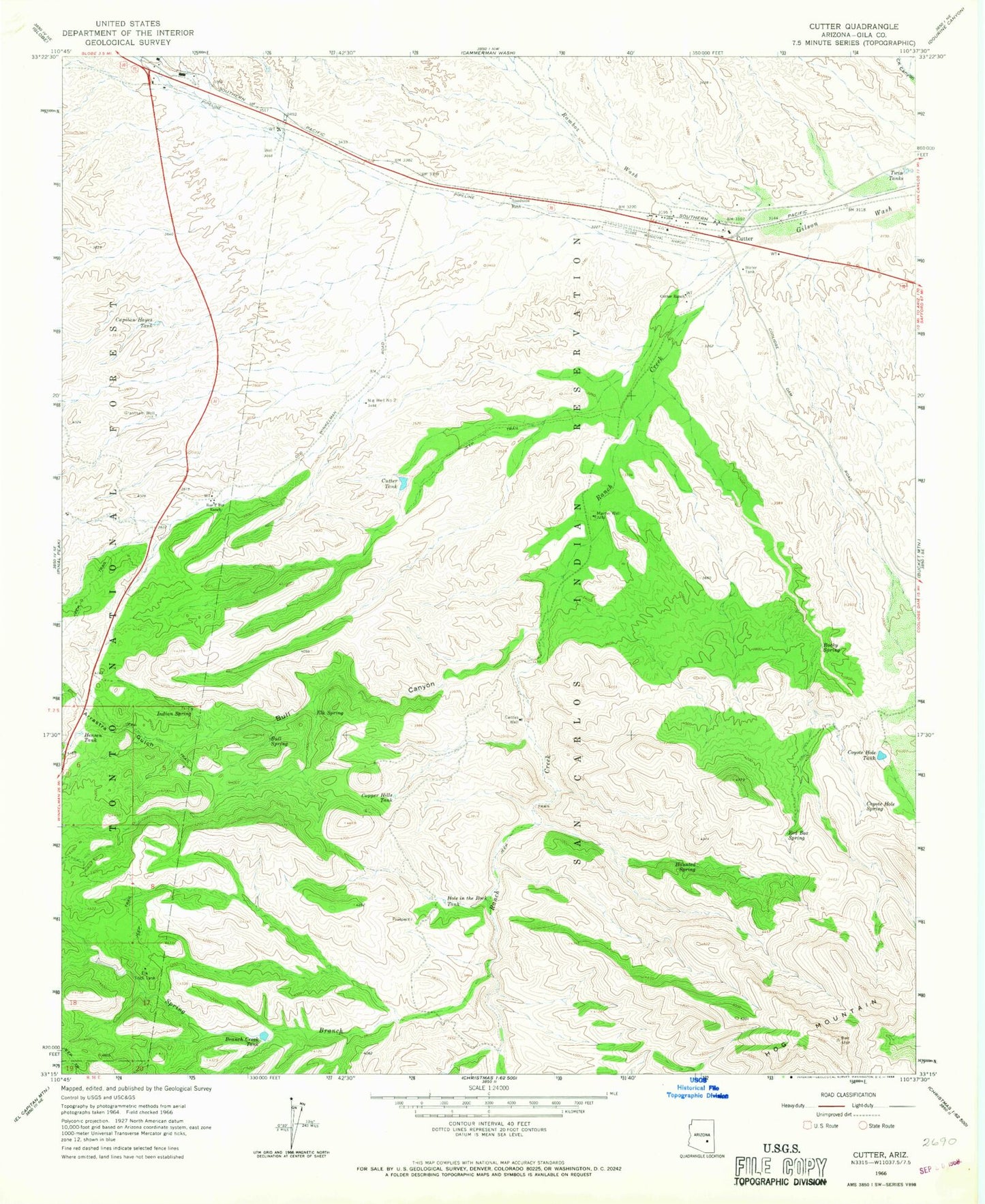
Historical USGS topographic quad map of Cutter in the state of Arizona. Map scale may vary for some years, but is generally around 1:24,000. Print size is approximately 24" x 27"
This quadrangle is in the following counties: Gila.
The map contains contour lines, roads, rivers, towns, and lakes. Printed on high-quality waterproof paper with UV fade-resistant inks, and shipped rolled.
Contains the following named places: Apache Stronghold Golf Club, Arrastra Canyon, Bar F Bar Ranch, Branch Creek Dam, Branch Creek Tank, Bull Canyon, Bull Spring, Cactus Well, Capitan Hayes Tank, Copper Hills Tank, Coyote Hold Dam, Coyote Hole Spring, Coyote Hole Tank, Cutter, Cutter Census Designated Place, Cutter Ranch, Cutter Tank, East Globe Census Designated Place, Elk Spring, Elk Trick Tank, Globe City Well, Grantham Well, Haunted Spring, Hensen Tank, Hog Mountain, Hole in the Rock Tank, Indian Spring, Martin Well, Naltazen Dam Number One, Nig Well Number Two, Ramboz Wash, Ranch Creek, Red Box Spring, Rocky Spring, San Carlos Apache Airport, Spring Branch, Twin Tanks