MyTopo
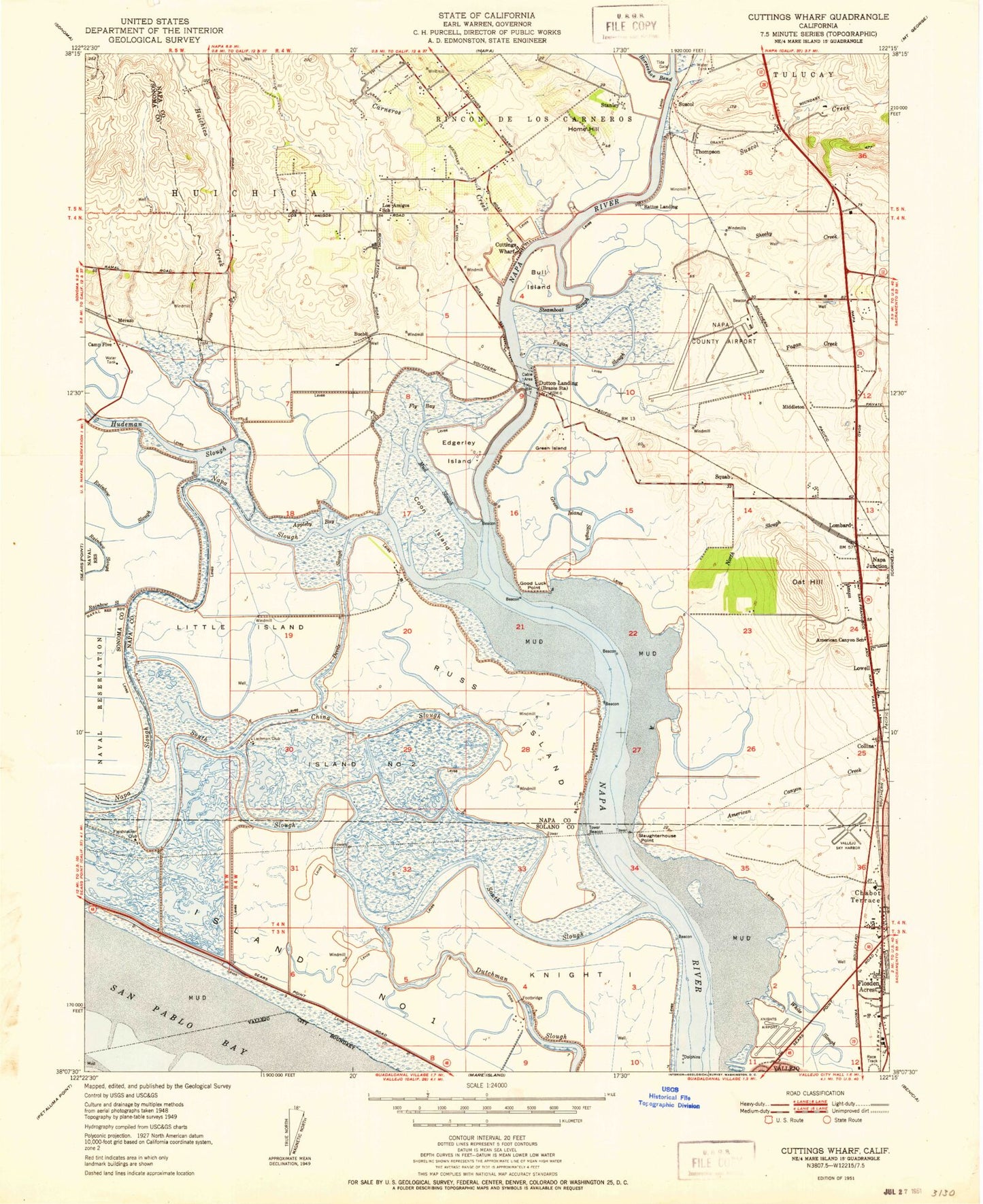
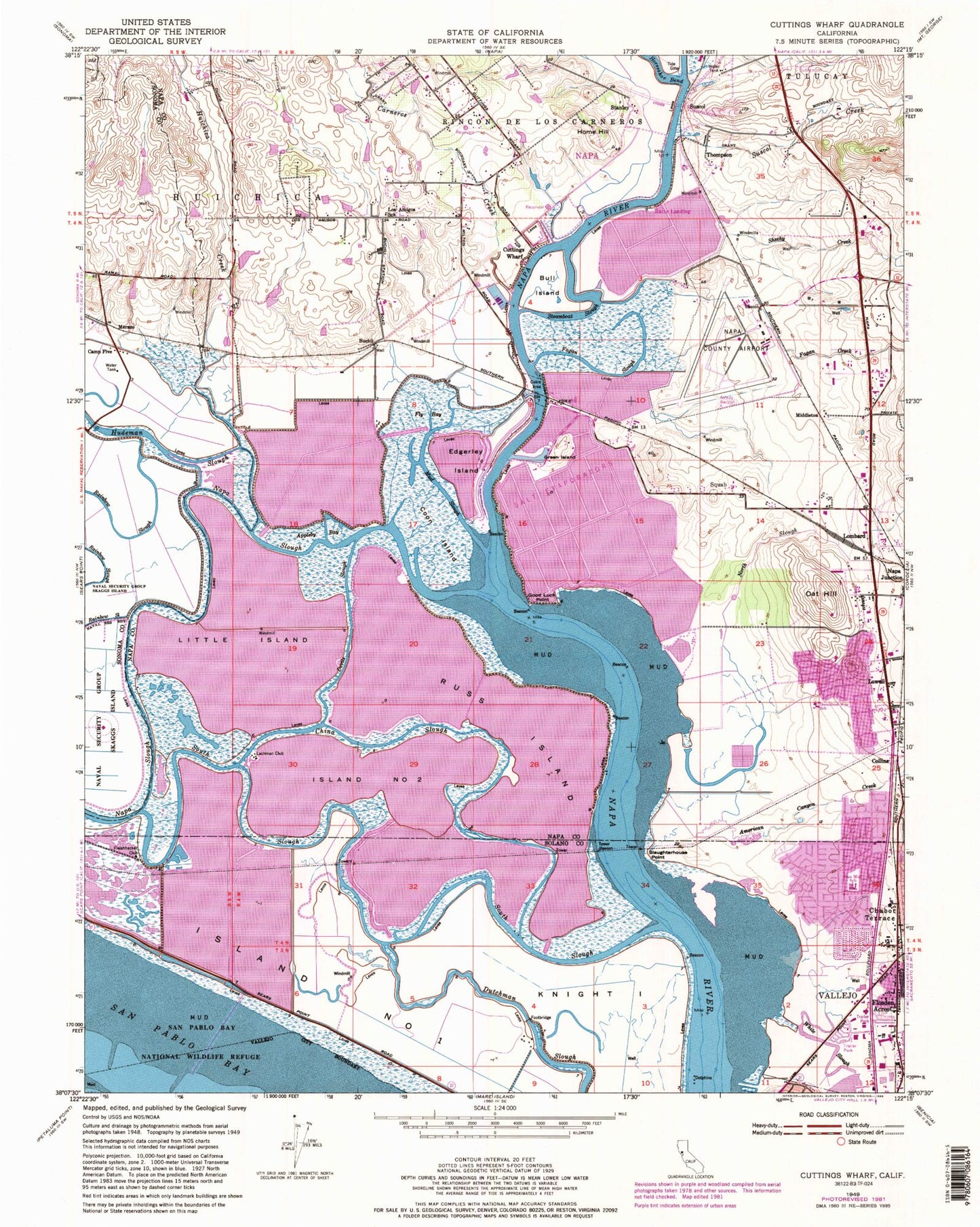
Classic USGS Cuttings Wharf California 7.5'x7.5' Topo Map
Couldn't load pickup availability
Historical USGS topographic quad map of Cuttings Wharf in the state of California. Map scale may vary for some years, but is generally around 1:24,000. Print size is approximately 24" x 27"
This quadrangle is in the following counties: Napa, Solano, Sonoma.
The map contains contour lines, roads, rivers, towns, and lakes. Printed on high-quality waterproof paper with UV fade-resistant inks, and shipped rolled.
Contains the following named places: Acacia Winery, American Canyon, American Canyon Creek, American Canyon Post Office, American Canyon School, Appleby Bay, Bouchard Vineyards, Brazos, Buchli, Buena Vista Winery 4422 Dam, Bull Island, California Highway Patrol - Golden Gate Division Air Operations Unit, Camp Five, Carneros, Carneros Creek, China Slough, City of American Canyon, Collins, Coon Island, Cuttings Wharf, Dan Mini Elementary School, Devils Slough, Donaldson Way Elementary School, Dutchman Slough, Dutton Landing, Duttons Ranch, Edgerley Island, Fagan Creek, Fagan Slough, Fleishhacker Club, Flosden, Flosden Acres, Fly Bay, Good Luck Point, Green Island, Henry Ranch Park, Home Hill, Hudeman Slough, Huichica Creek, Island Number One, Island Number Two, Knight Island, Lachman Club, Little Island, Lombard, Los Amigos Elementary School, Lowell, Meadows Park, Medic Ambulance Service, Merazo, Middleton, Mud Slough, Napa County Airport, Napa County Fire Department Station 10 Carneros, Napa County Fire Department Station 27 Greenwood Ranch, Napa County Sheriff's Office, Napa Junction, Napa Junction Magnet Elementary School, Napa Slough, Napa Valley Business Park, North Slough, Oat Hill, Ratto Landing, Rincon De Los Carneros, Russ Island, Sereno Square Shopping Center, Sheehy Creek, Slaughterhouse Point, South Slough, Squab, Stanley, Steamboat Slough, Stone Bridge School, Suscol, Suscol Creek, Thompson, White Slough, ZIP Codes: 94503, 94559


