MyTopo
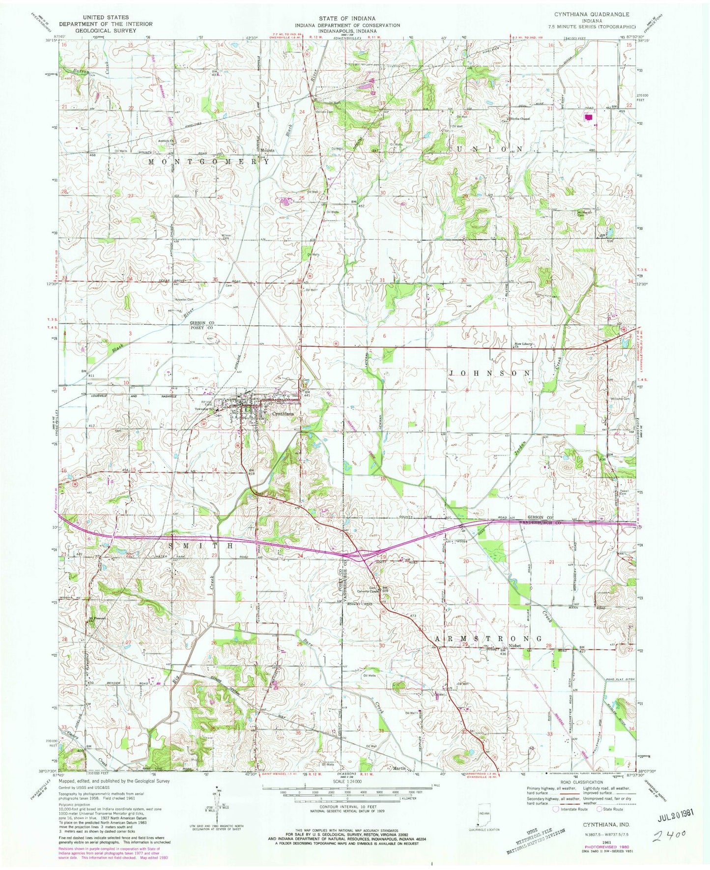
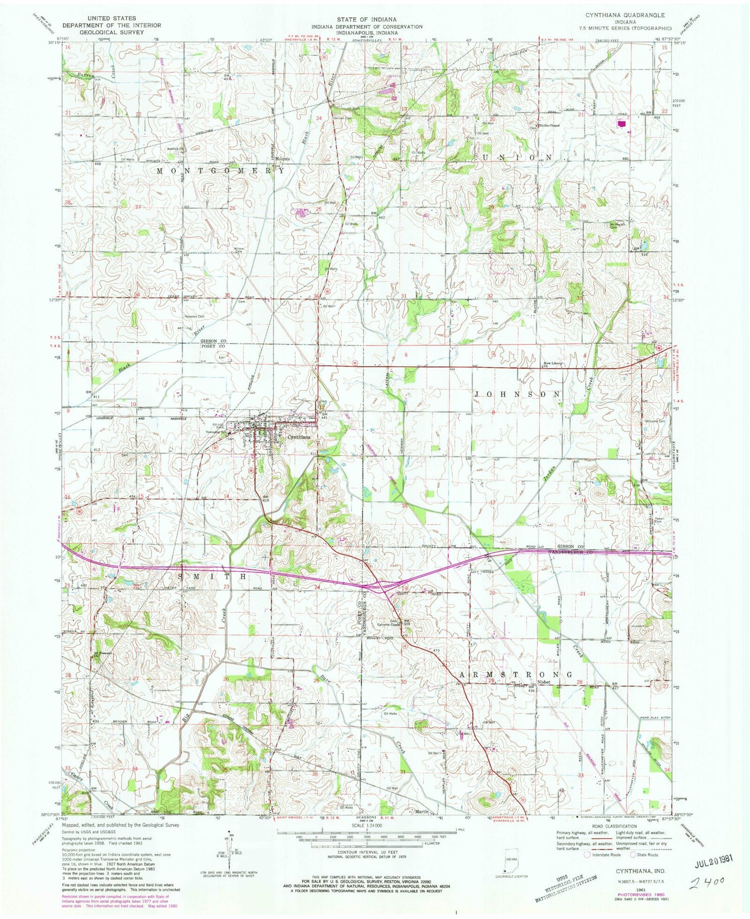
Classic USGS Cynthiana Indiana 7.5'x7.5' Topo Map
Couldn't load pickup availability
Historical USGS topographic quad map of Cynthiana in the state of Indiana. Map scale may vary for some years, but is generally around 1:24,000. Print size is approximately 24" x 27"
This quadrangle is in the following counties: Gibson, Posey, Vanderburgh.
The map contains contour lines, roads, rivers, towns, and lakes. Printed on high-quality waterproof paper with UV fade-resistant inks, and shipped rolled.
Contains the following named places: Antioch Church, Barr Creek, Benson Cemetery, Blythe Chapel, Calverts Chapel, Clay Hill Jersey Farm, Cynthiana, Cynthiana Police Department, Cynthiana Post Office, Hepler Airport, Jordan Creek, Knowles Cemetery, McGray Ditch, Mount Moriah Cemetery, Mount Pleasant Church, Mounts, New Liberty Church, Newman Lateral, Nisbet, Powell Cemetery, Smith Township Volunteer Fire Department, Town of Cynthiana, Township of Armstrong, Township of Smith, Williams Cemetery, Wilson Cemetery, ZIP Code: 47612