
MyTopo
Classic USGS Cypress Lake Florida 7.5'x7.5' Topo Map
Regular price
$16.95
Regular price
Sale price
$16.95
Unit price
per
Couldn't load pickup availability
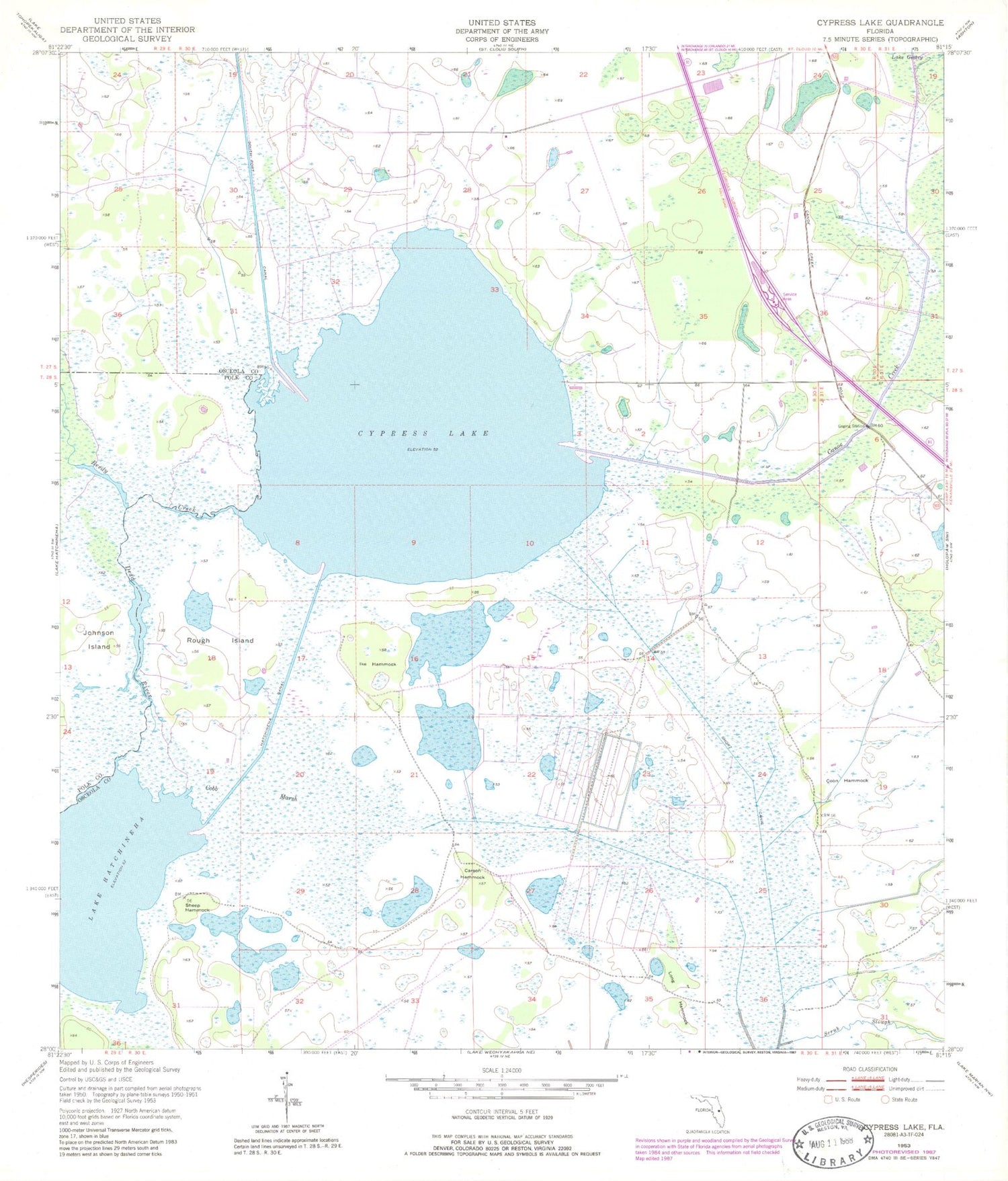
Historical USGS topographic quad map of Cypress Lake in the state of Florida. Map scale may vary for some years, but is generally around 1:24,000. Print size is approximately 24" x 27"
This quadrangle is in the following counties: Osceola, Polk.
The map contains contour lines, roads, rivers, towns, and lakes. Printed on high-quality waterproof paper with UV fade-resistant inks, and shipped rolled.
Contains the following named places: Canoe Creek, Carson Hammock, Cobb Marsh, Coon Hammock, Cypress Lake, Dead River, Hatchineha Canal, Ike Hammock, Reedy Creek, Rough Island, Scrub Slough, Sheep Hammock, Short Canal, South Port Canal


