MyTopo
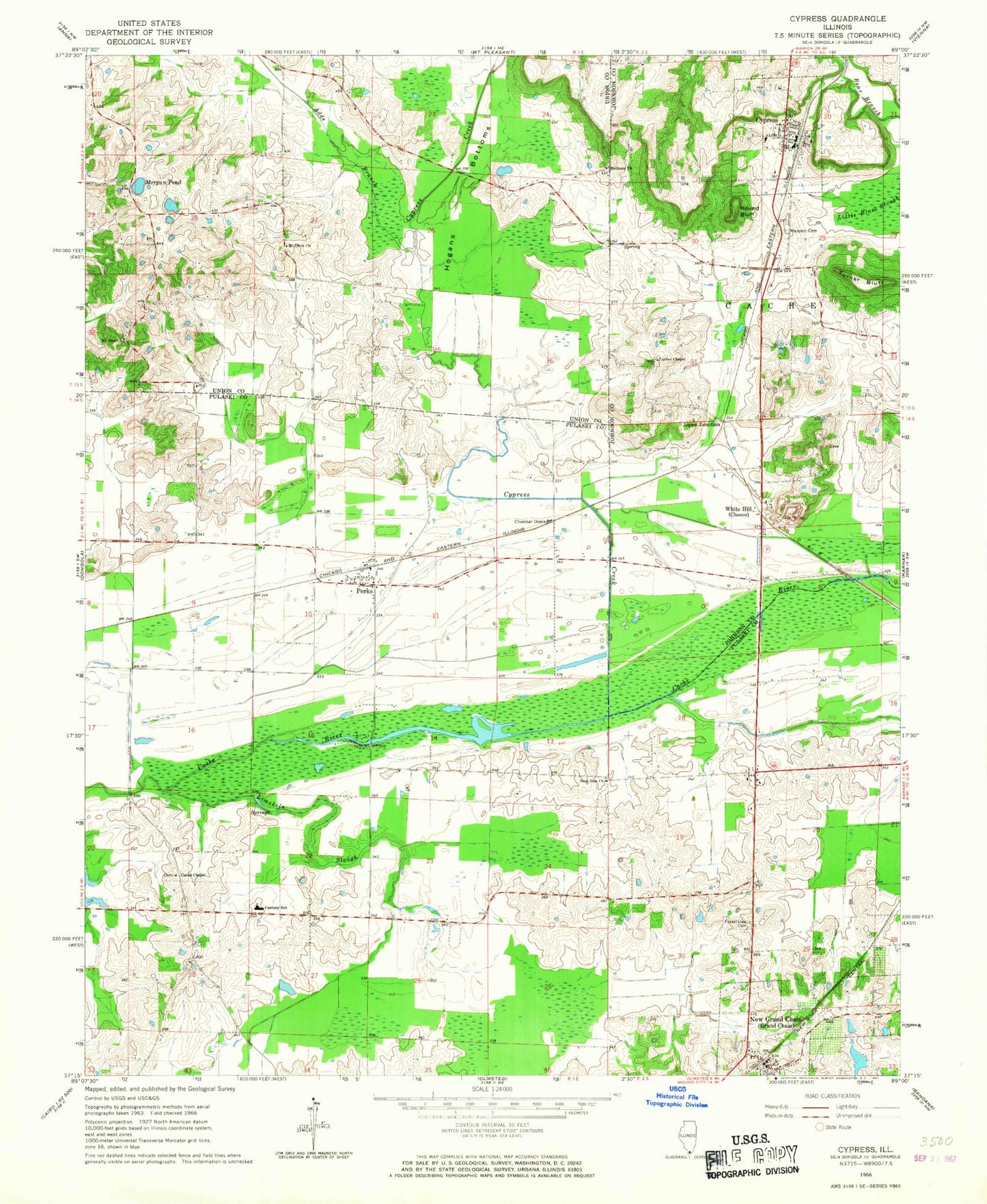
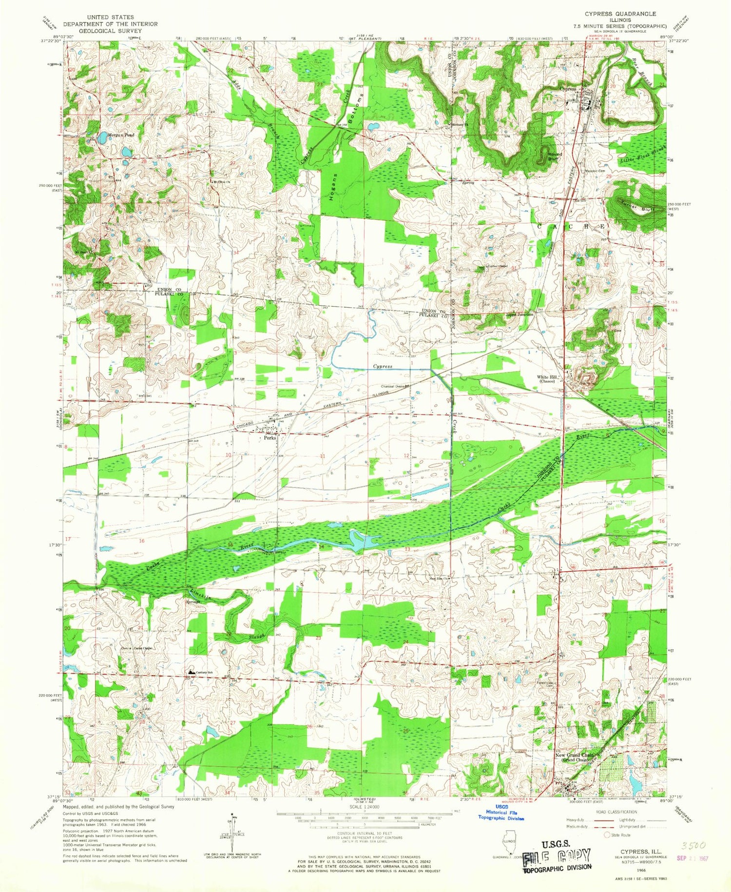
Classic USGS Cypress Illinois 7.5'x7.5' Topo Map
Couldn't load pickup availability
Historical USGS topographic quad map of Cypress in the state of Illinois. Map scale may vary for some years, but is generally around 1:24,000. Print size is approximately 24" x 27"
This quadrangle is in the following counties: Johnson, Pulaski, Union.
The map contains contour lines, roads, rivers, towns, and lakes. Printed on high-quality waterproof paper with UV fade-resistant inks, and shipped rolled.
Contains the following named places: Adds Branch, Bethany Church, Cache Chapel, Cache Chapel Cemetery, Cache Election Precinct, Cedar Grove School, Century High School, Chapel School, Cypress, Cypress Creek, Cypress Creek Post Office, Cypress Elementary School, Cypress Post Office, Cypress Volunteer Fire Department, Dongola District 1 Election Precinct, Forestview Cemetery, Forestview School, Friendship School, Grand Chain, Grand Chain Election Precinct, Grand Chain Masonic Cemetery, Grand Chain Post Office, Grand Chain Volunteer Fire Department, Hogans Bottoms, Joppa Junction, Limekiln Slough, Luther Chapel, Maple Valley School, Masonic Cemetery, Misenheimer School, Morgan Pond, Mount Olive Church, Mount Zion Church, New Grand Chain, New Zion Church, Perks, Perks Election Precinct, Perks Post Office, Rainbow Arch, Round Bluff, Section Eight Woods Nature Preserve, Shawnee Community College, Shawnee Community College Heliport, Turner Bluff, Ulrich Lake, Ulrich Lake Dam, Village of Cypress, Village of New Grand Chain, White Hill, ZIP Code: 62923


