MyTopo
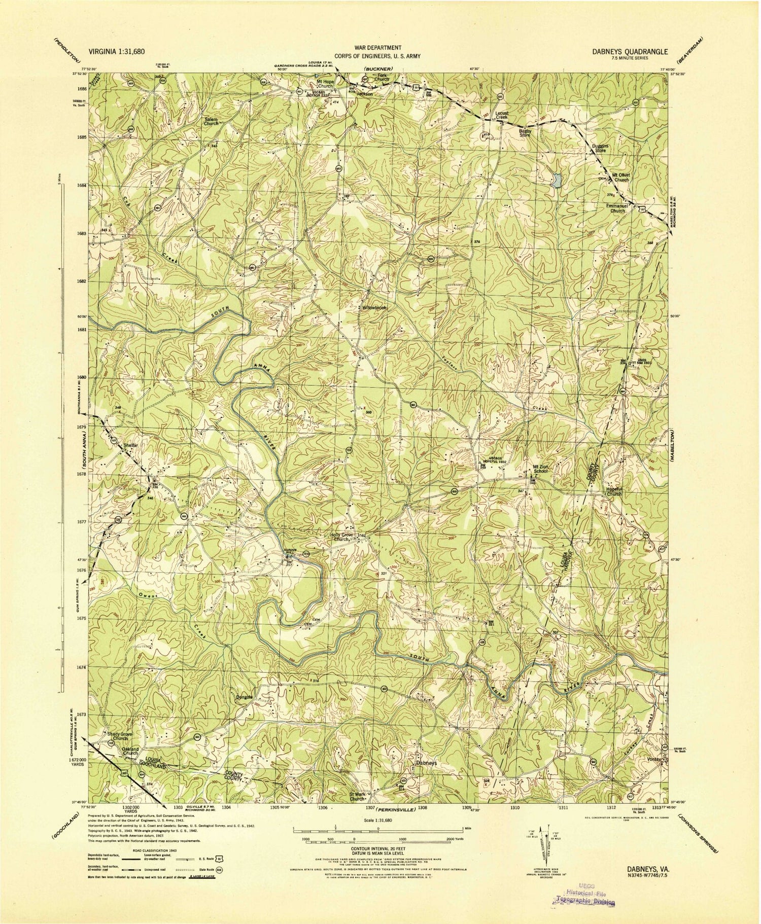
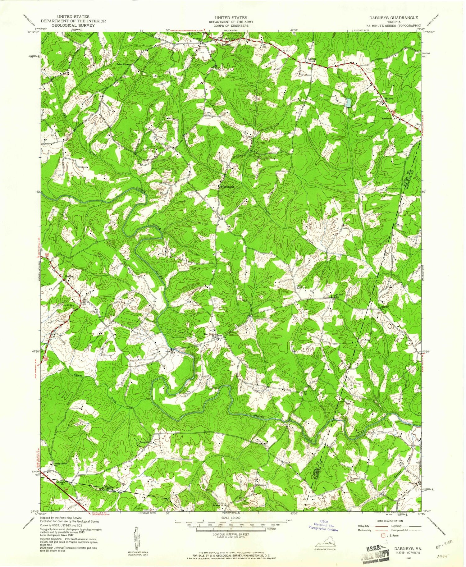
Classic USGS Dabneys Virginia 7.5'x7.5' Topo Map
Couldn't load pickup availability
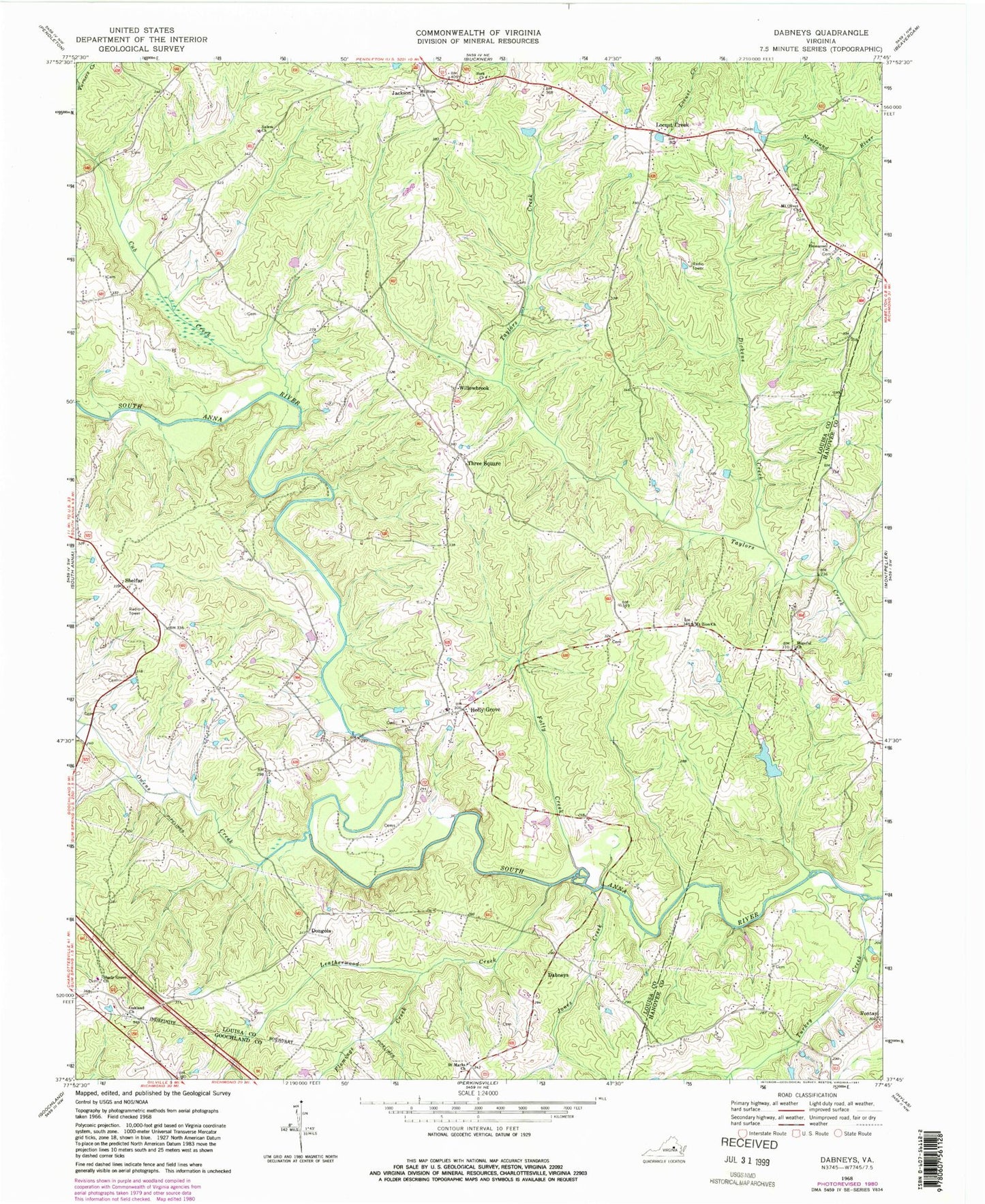
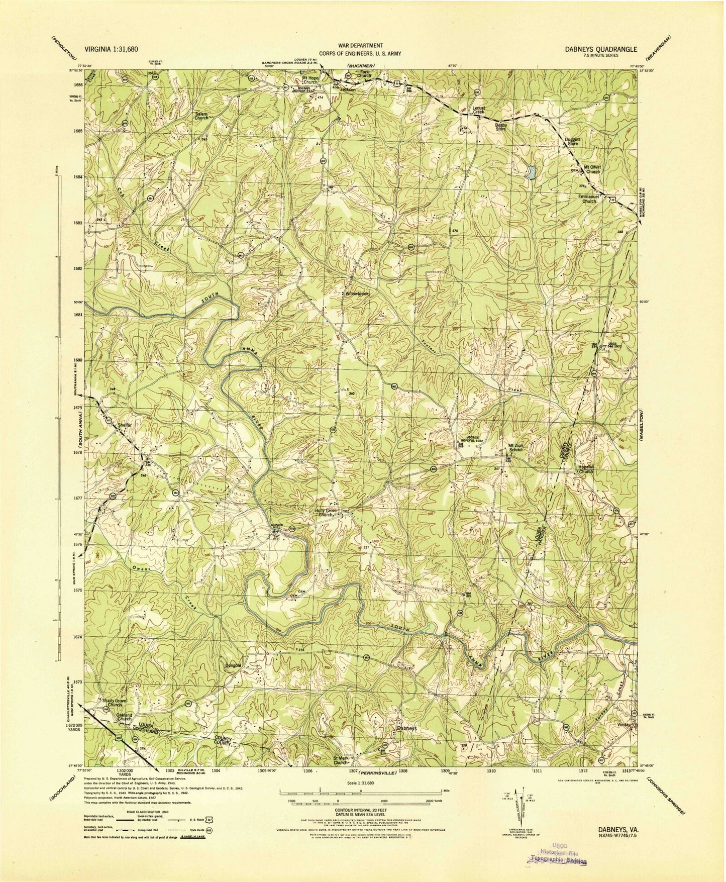
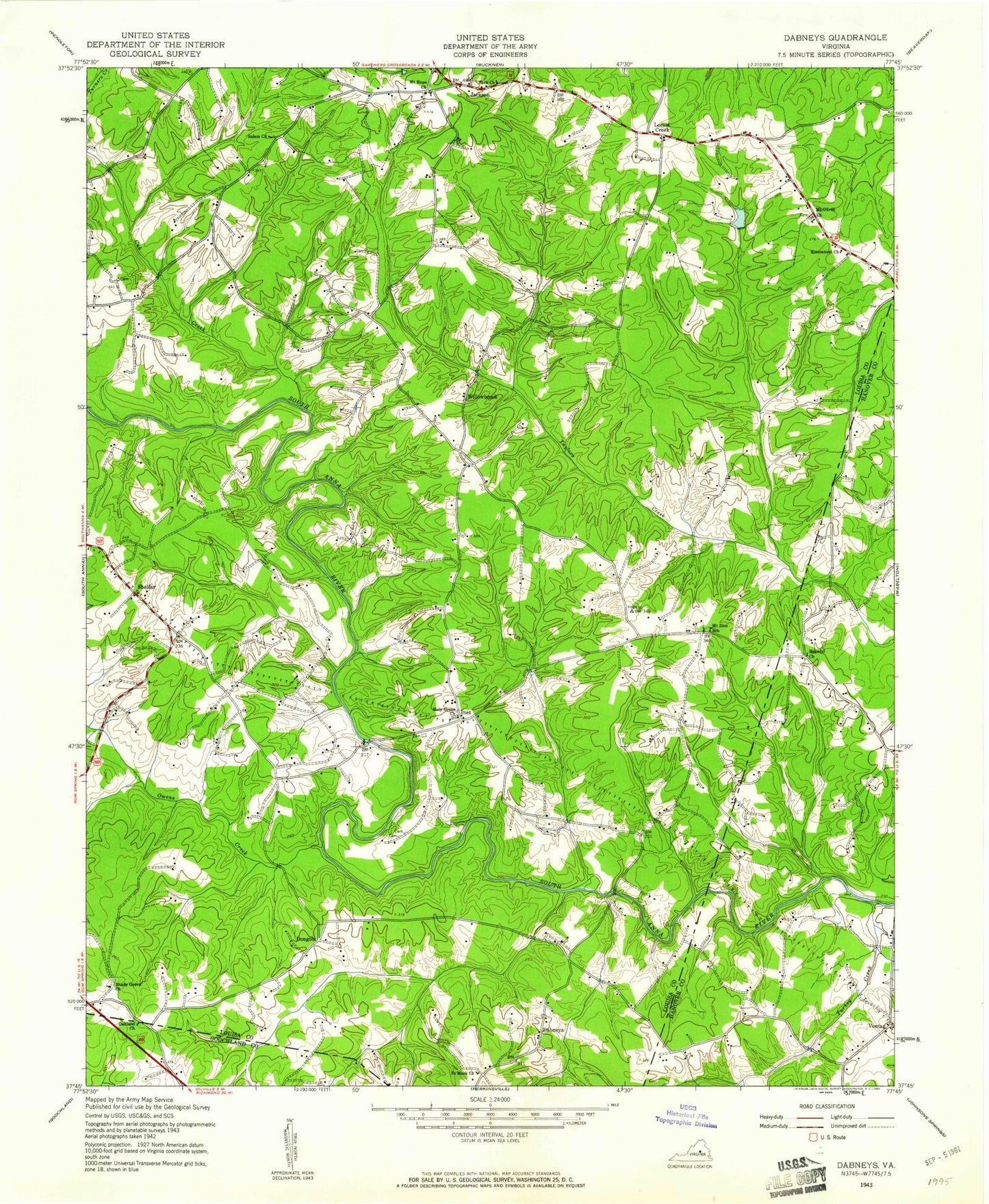
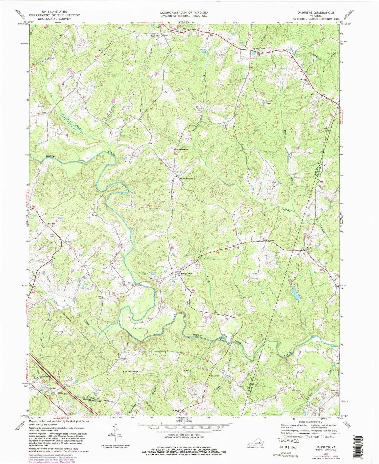
Historical USGS topographic quad map of Dabneys in the state of Virginia. Map scale may vary for some years, but is generally around 1:24,000. Print size is approximately 24" x 27"
This quadrangle is in the following counties: Goochland, Hanover, Louisa.
The map contains contour lines, roads, rivers, towns, and lakes. Printed on high-quality waterproof paper with UV fade-resistant inks, and shipped rolled.
Contains the following named places: Bagby Store, Cavalier Rifle and Pistol Club Dam, Cub Creek, Dabneys, Dabneys Post Office, Dickens Creek, Dongola, Duggins Store, Emmanuel Church, Flemings Creek, Fork Church, Gays, Holly Grove, Holly Grove Church, Holly Grove Volunteer Fire Department Company 4, Holly Grove Volunteer Rescue Squad, Holly Springs Airport, Hopeful Church, Jackson, Jackson Post Office, Jones Creek, Leatherwood Creek, Locust Creek, Locust Creek Post Office, Mount Hope Church, Mount Olivet Church, Mount Zion Church, Mount Zion School, Mountain Road District, Oakland Church, Owens Creek, Saint Marks Church, Salem Church, Shady Grove Church, Shelfar, Sheltons Dam, Sheltons Mill, Sheltons Millpond, Three Square, Turkey Creek, Victory Christian Fellowship, Virginia State Police Division 1 Area 4 Office, Vontay, Willowbrook
