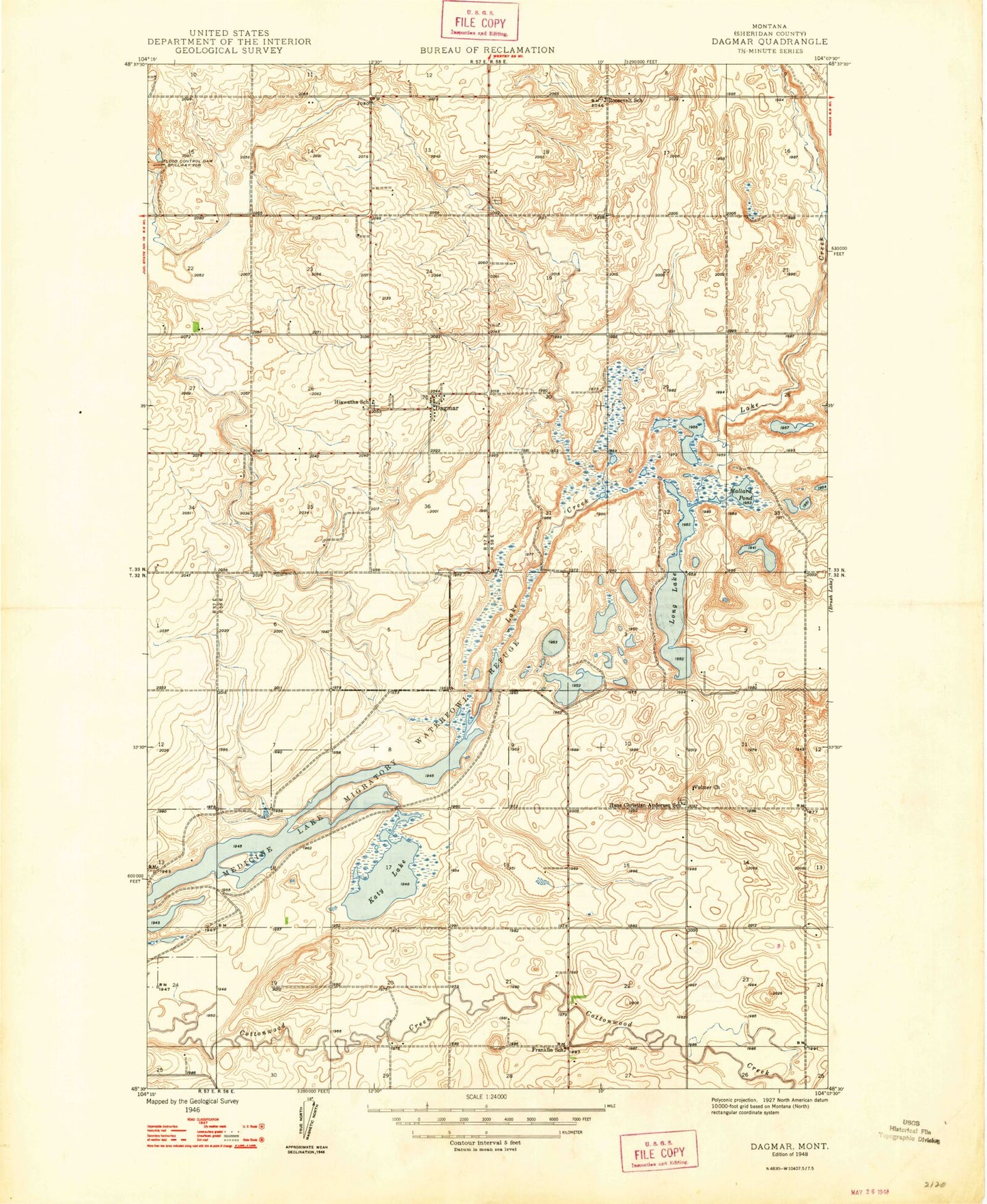
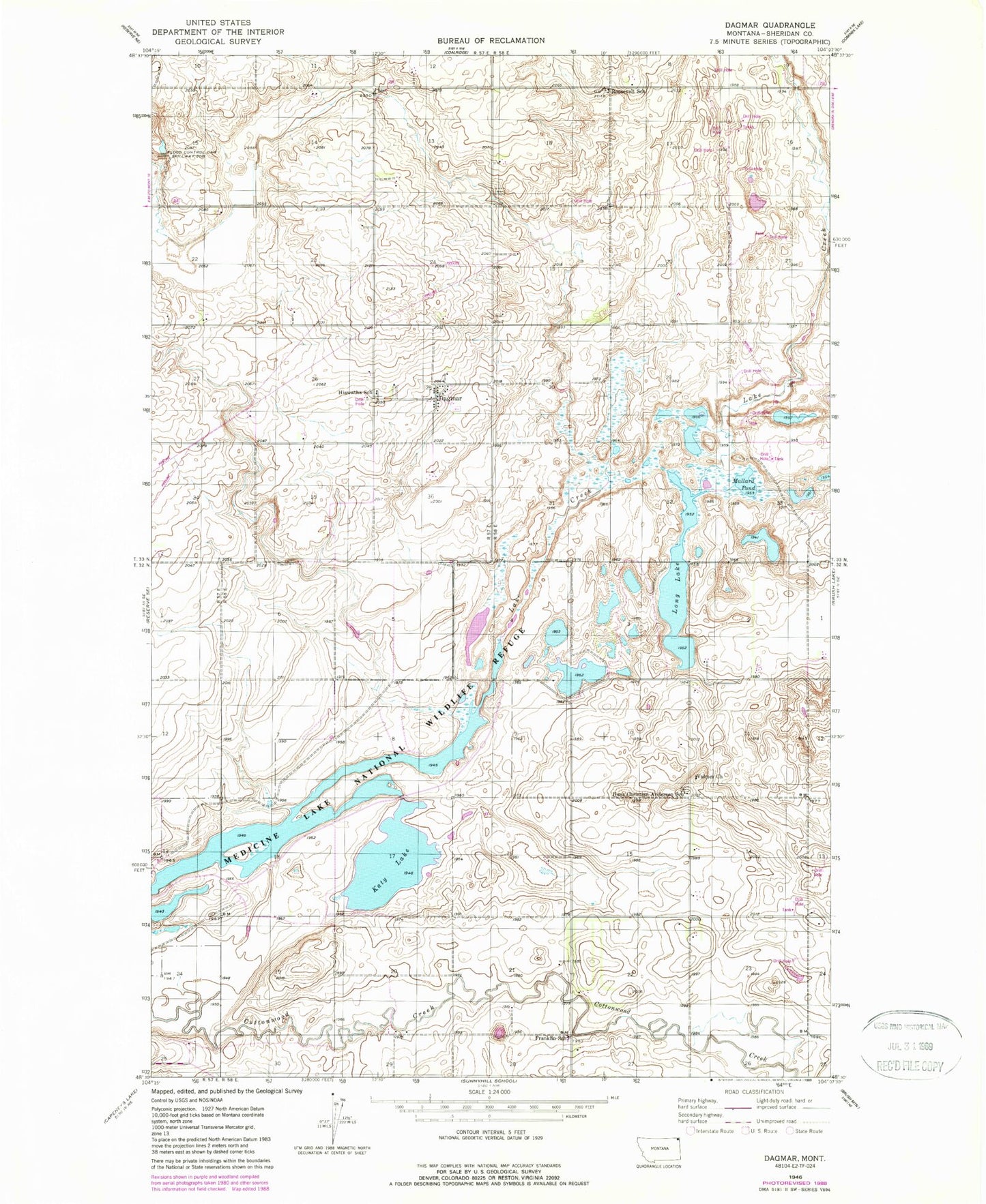
MyTopo
Classic USGS Dagmar Montana 7.5'x7.5' Topo Map
Couldn't load pickup availability
Historical USGS topographic quad map of Dagmar in the state of Montana. Map scale may vary for some years, but is generally around 1:24,000. Print size is approximately 24" x 27"
This quadrangle is in the following counties: Sheridan.
The map contains contour lines, roads, rivers, towns, and lakes. Printed on high-quality waterproof paper with UV fade-resistant inks, and shipped rolled.
Contains the following named places: 32N58E04DBBD01 Well, 32N58E04DBBD02 Well, 32N58E05DDAB01 Well, 32N58E06DCAA01 Well, 32N58E10CCCC01 Well, 32N58E22CBBC01 Well, 33N57E12CDBD01 Well, 33N57E22DCCA01 Well, 33N58E09CDDA01 Well, 33N58E17ABBA01 Well, 33N58E17ADDD01 Well, 33N58E21CCAA01 Well, 33N58E28CBBA01 Well, 33N58E29ADCA01 Well, 33N58E29ADDB01 Well, 33N58E29ADDB02 Well, 33N58E30ACAA01 Well, 33N58E32CCAA01 Well, 33N58E33DACB01 Well, 59219, Dagmar, Dagmar Post Office, Emerson School, Franklin School, Hans Christian Anderson School, Hiawatha School, Katy Lake, Long Lake, Mallard Pond, Medicine Lake Volunteer Fire Department Station 2 Dagmar, Quitmeyer Post Office, Roosevelt School, Volmer, Volmer Lutheran Church