
MyTopo
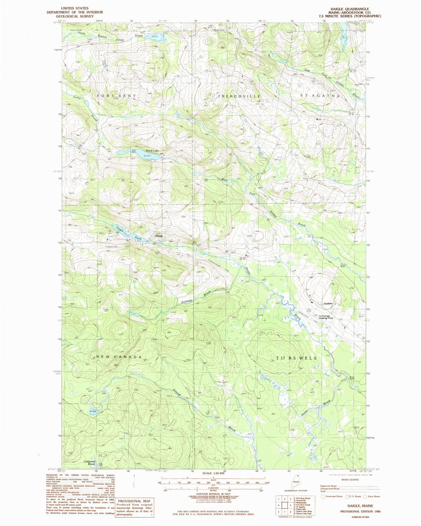
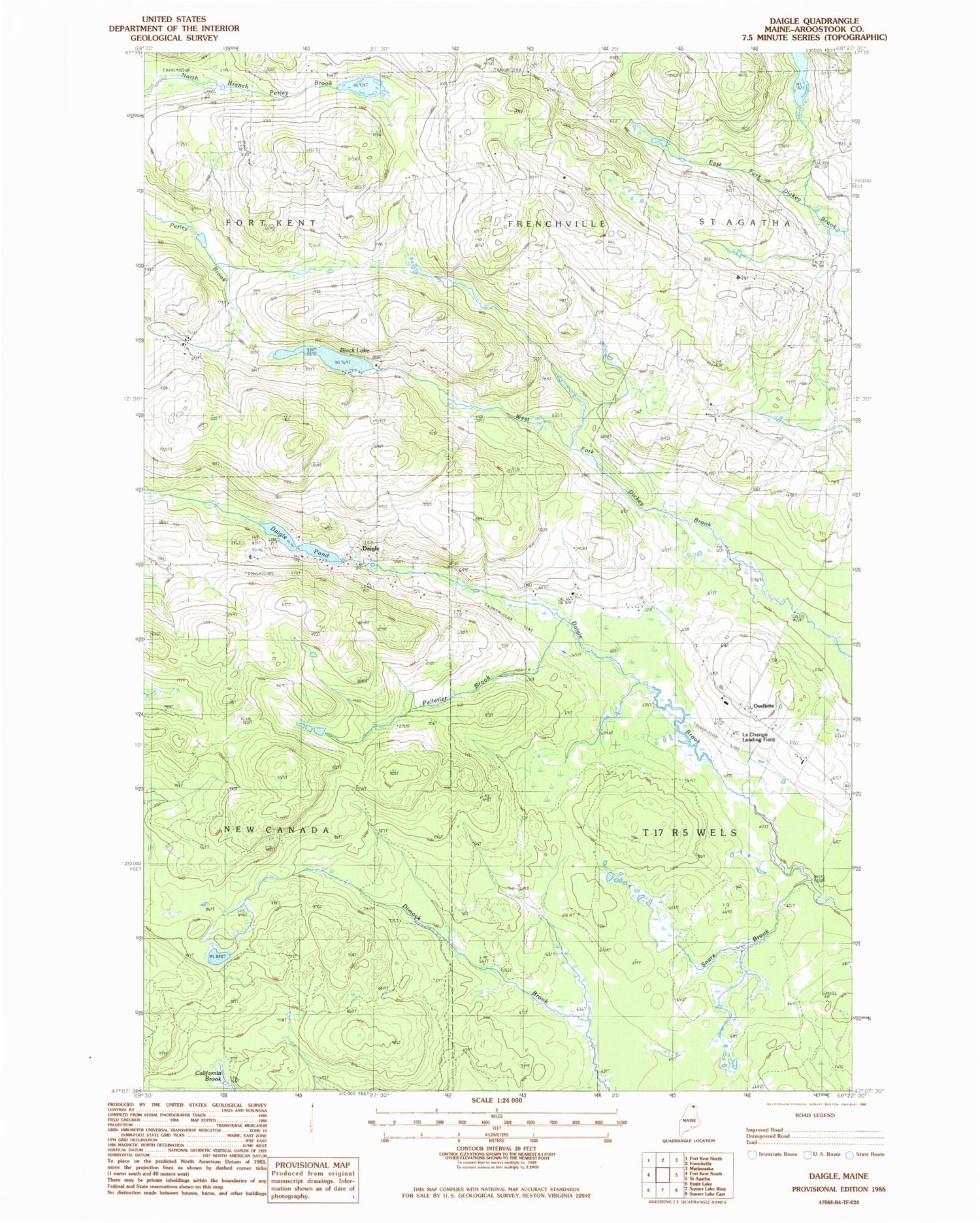
Classic USGS Daigle Maine 7.5'x7.5' Topo Map
Regular price
$16.95
Regular price
Sale price
$16.95
Unit price
per
Couldn't load pickup availability
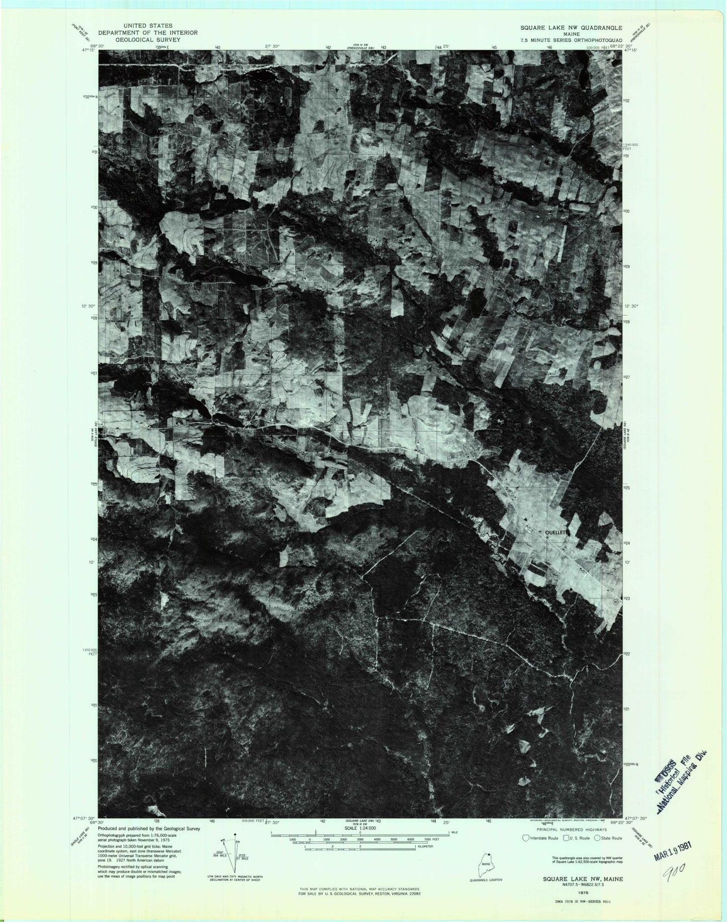
Historical USGS topographic quad map of Daigle in the state of Maine. Map scale may vary for some years, but is generally around 1:24,000. Print size is approximately 24" x 27"
This quadrangle is in the following counties: Aroostook.
The map contains contour lines, roads, rivers, towns, and lakes. Printed on high-quality waterproof paper with UV fade-resistant inks, and shipped rolled.
Contains the following named places: Black Lake, Daigle, Daigle Pond, Daigle Pond Dam, Holy Family Catholic Cemetery, La Change Landing Field, Ouellette, Pelletier Brook, Snare Brook, Sunrise Farms Airport