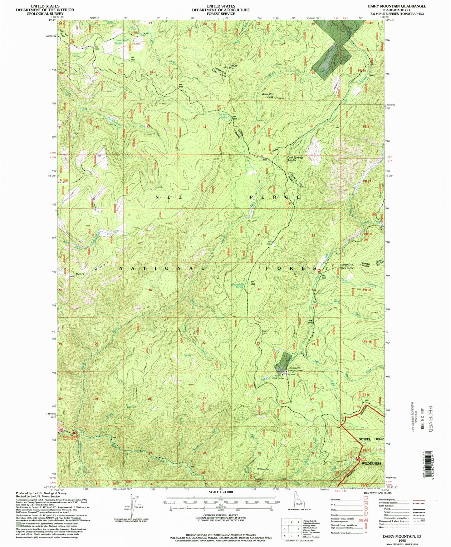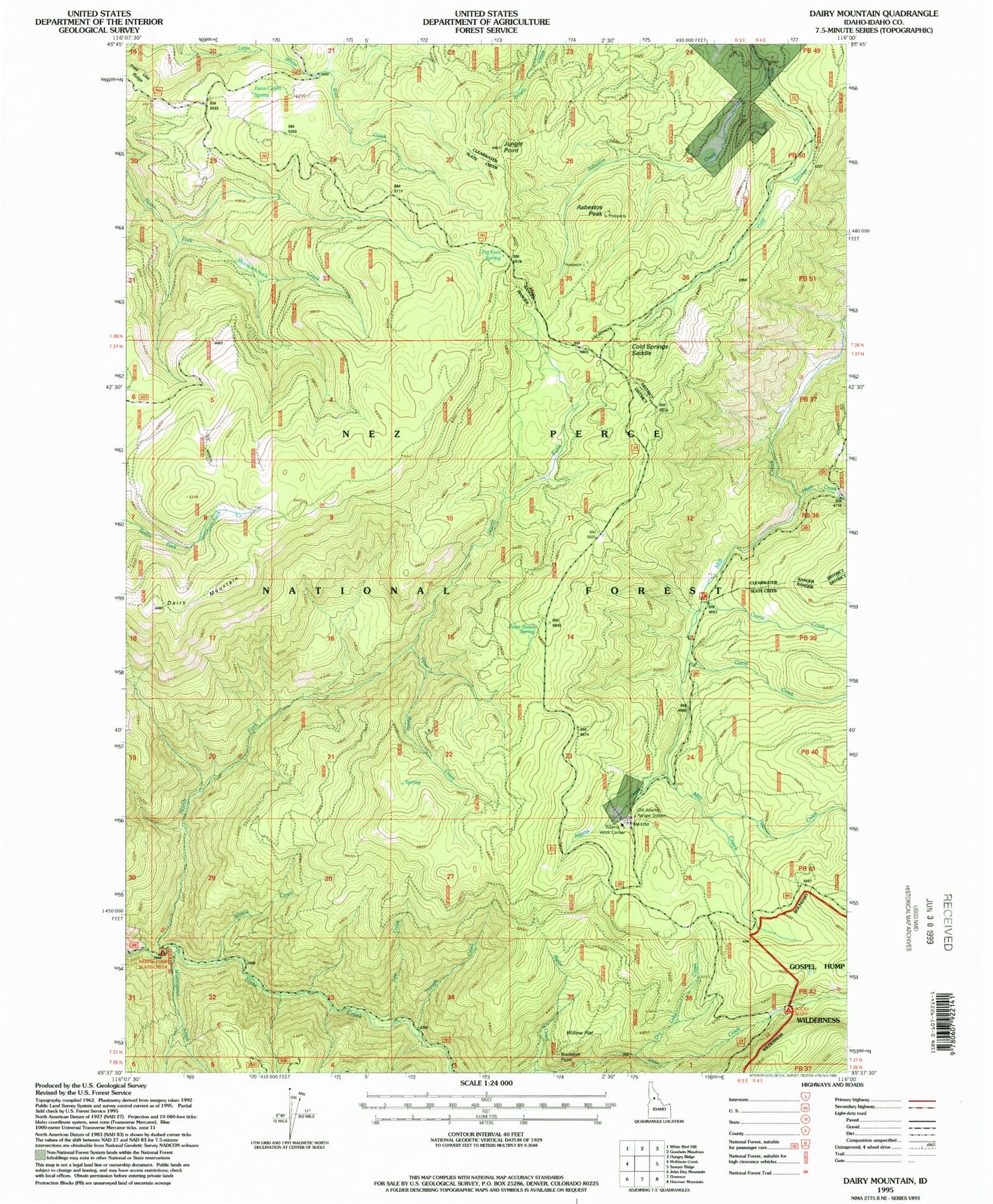
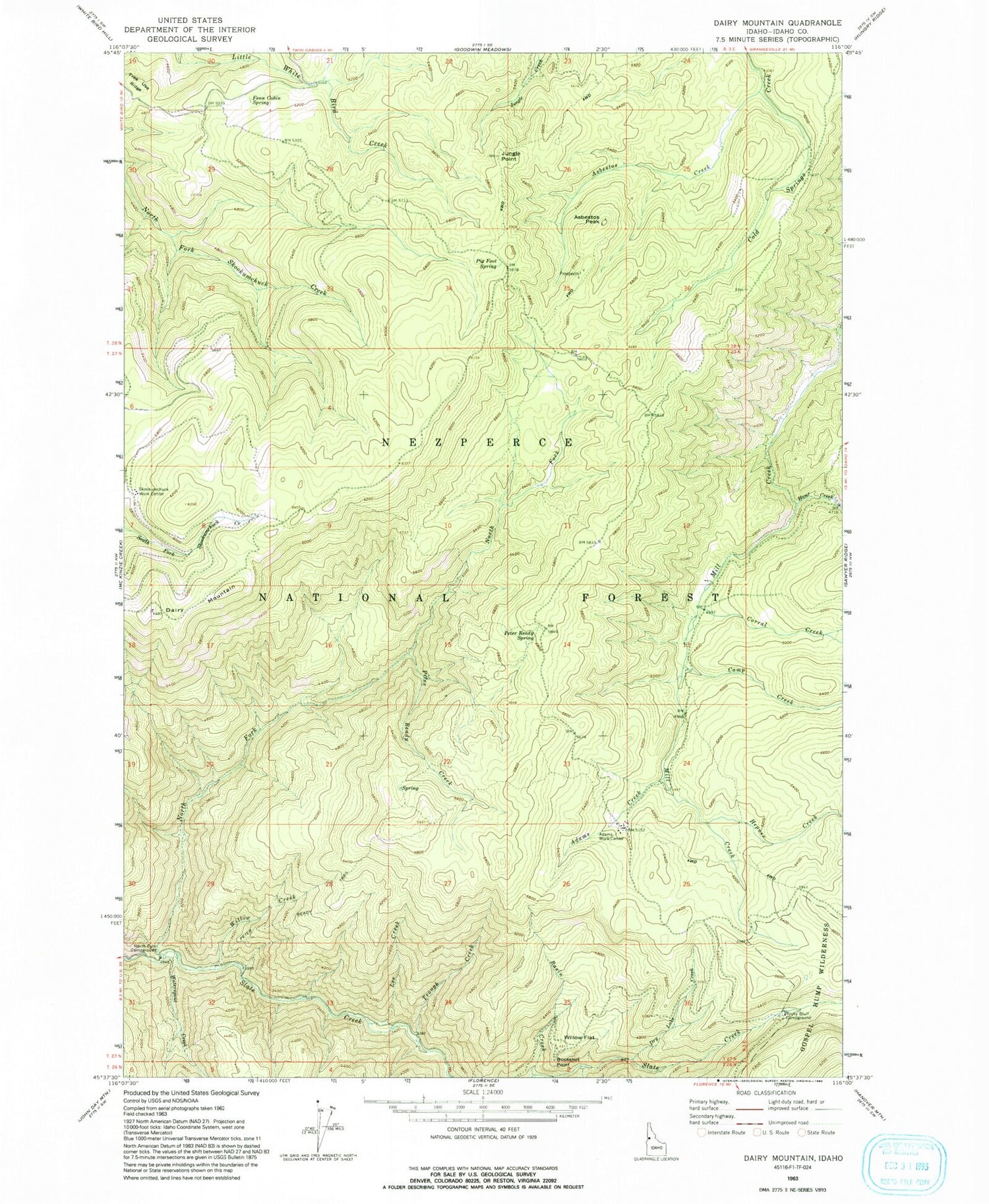
MyTopo
Classic USGS Dairy Mountain Idaho 7.5'x7.5' Topo Map
Couldn't load pickup availability
Historical USGS topographic quad map of Dairy Mountain in the state of Idaho. Map scale may vary for some years, but is generally around 1:24,000. Print size is approximately 24" x 27"
This quadrangle is in the following counties: Idaho.
The map contains contour lines, roads, rivers, towns, and lakes. Printed on high-quality waterproof paper with UV fade-resistant inks, and shipped rolled.
Contains the following named places: Adams Creek, Asbestos Creek, Asbestos Peak, Basin Creek, Black George Creek, Buckshot Point, Camp Creek, Cold Springs Saddle, Corral Creek, Dairy Mountain, Dry Lake Creek, Fenn Cabin Spring, Hepner Creek, Hunt Creek, Jungle Point, Lee Creek, North Fork Campground, North Fork Slate Creek, Old Adams Ranger Station, Peter Ready Creek, Peter Ready Spring, Pig Foot Spring, Rocky Bluff Campground, Skookumchuck Work Center, Trough Creek, Waterspout Creek, Willow Creek, Willow Flat