MyTopo
Classic USGS Dairy Valley Nevada 7.5'x7.5' Topo Map
Regular price
$16.95
Regular price
Sale price
$16.95
Unit price
per
Couldn't load pickup availability
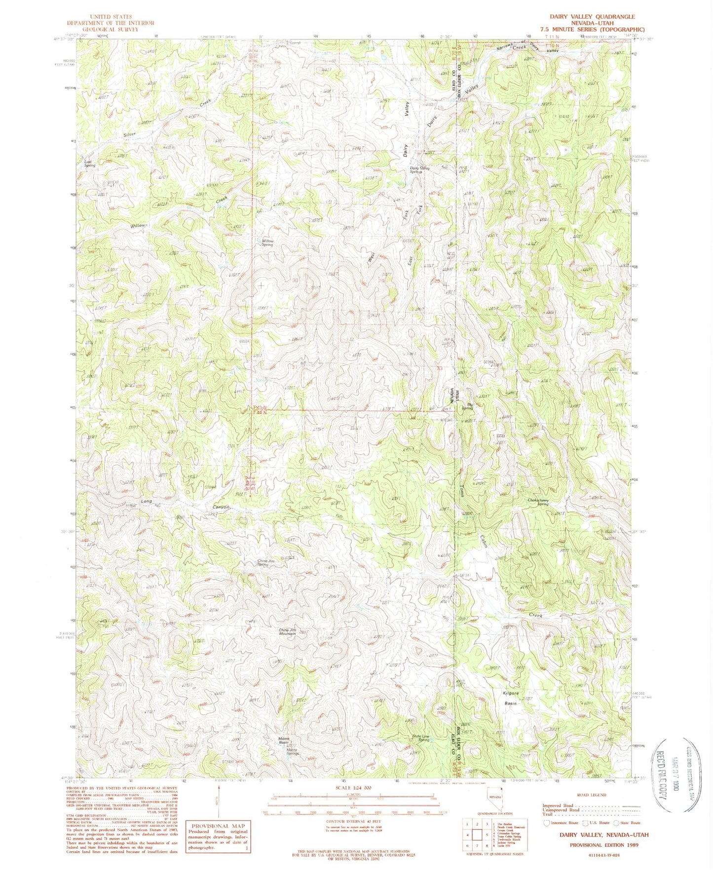
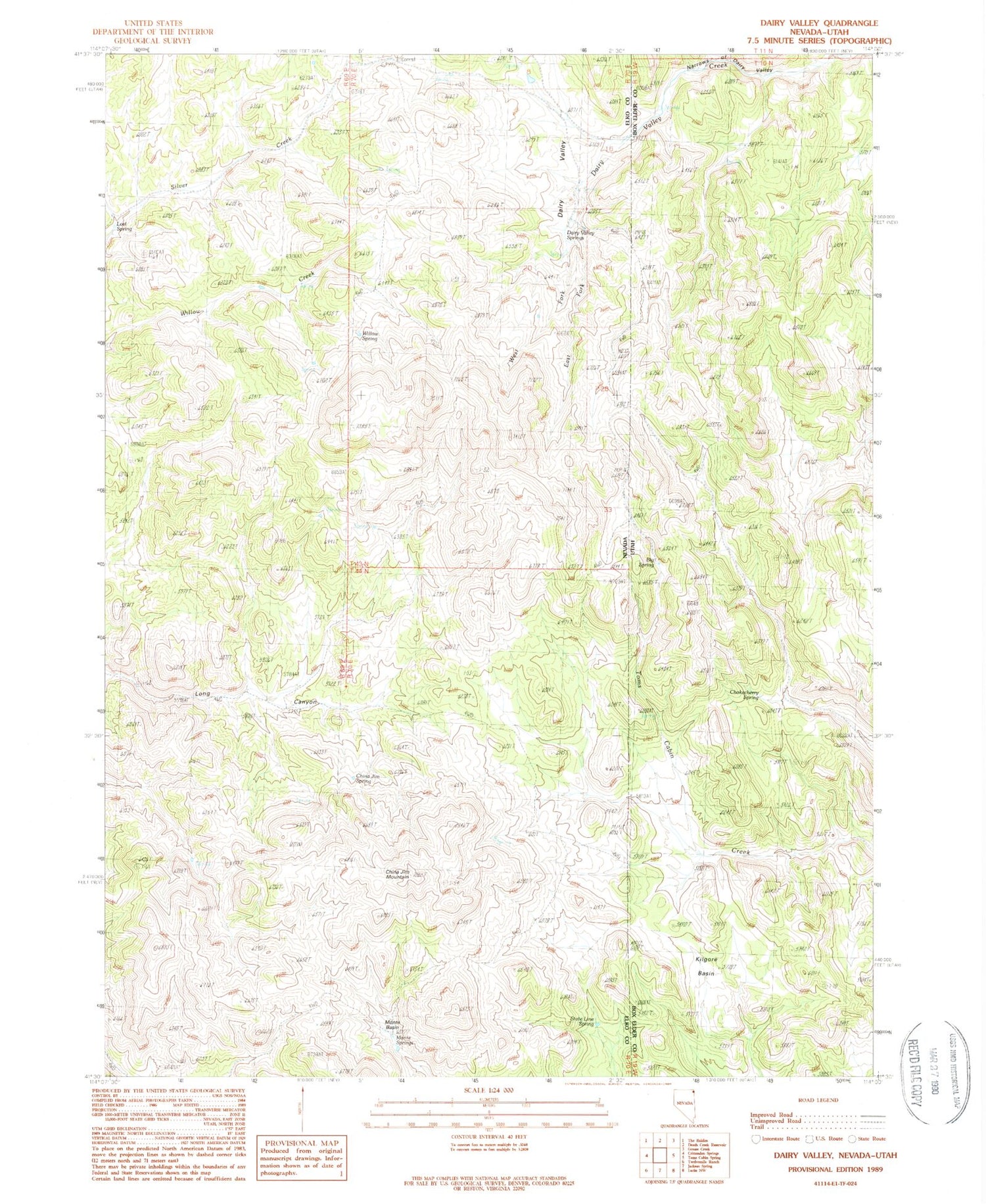
Historical USGS topographic quad map of Dairy Valley in the states of Nevada, Utah. Map scale may vary for some years, but is generally around 1:24,000. Print size is approximately 24" x 27"
This quadrangle is in the following counties: Box Elder, Elko.
The map contains contour lines, roads, rivers, towns, and lakes. Printed on high-quality waterproof paper with UV fade-resistant inks, and shipped rolled.
Contains the following named places: Big Spring, China Jim Mountain, China Jim Spring, Chokecherry Spring, Dairy Valley, Dairy Valley Springs, Grouse Creek, Kilgore Basin, Lost Spring, Monte Basin, Monte Springs, Narrows of Dairy Valley, State Line Spring, Willow Spring