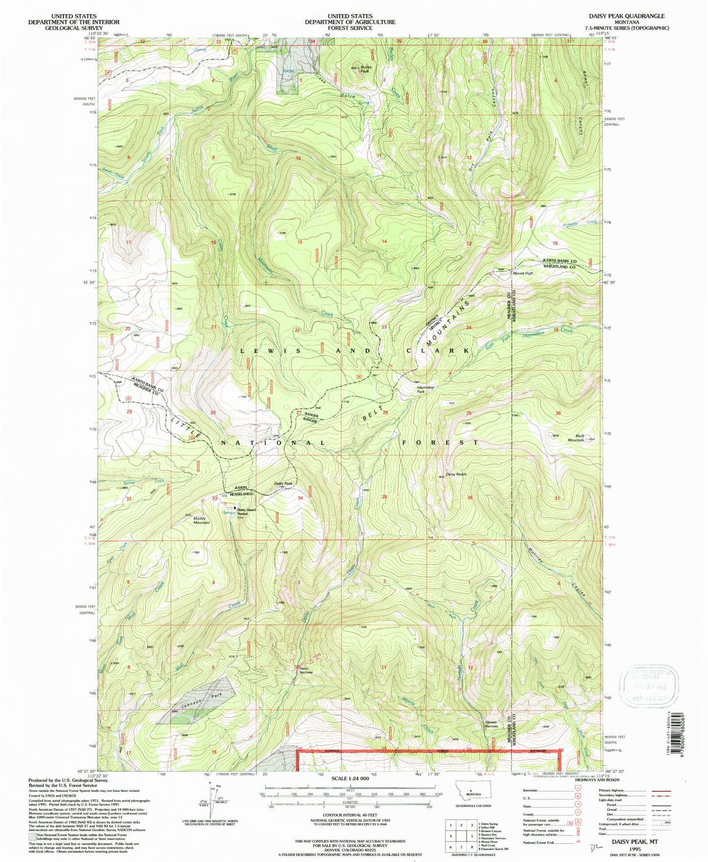
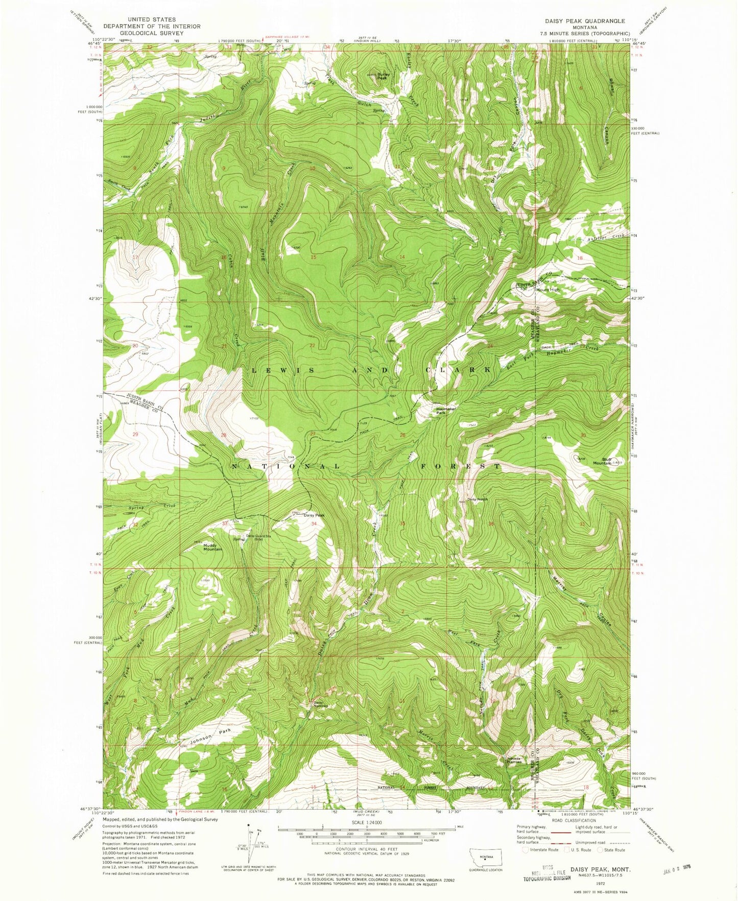
MyTopo
Classic USGS Daisy Peak Montana 7.5'x7.5' Topo Map
Regular price
$16.95
Regular price
Sale price
$16.95
Unit price
per
Couldn't load pickup availability
Historical USGS topographic quad map of Daisy Peak in the state of Montana. Map scale may vary for some years, but is generally around 1:24,000. Print size is approximately 24" x 27"
This quadrangle is in the following counties: Judith Basin, Meagher, Wheatland.
The map contains contour lines, roads, rivers, towns, and lakes. Printed on high-quality waterproof paper with UV fade-resistant inks, and shipped rolled.
Contains the following named places: Bluff Mountain, Bluff Mountain Creek, Burley Peak, Cabin Creek, Daisy Guard Station, Daisy Narrows, Daisy Notch, Daisy Peak, Haymaker Park, Johnson Park, Mount High, Muddy Mountain, Nevada Narrows, Smith Creek, West Fork Mud Creek, West Fork Nevada Creek