MyTopo
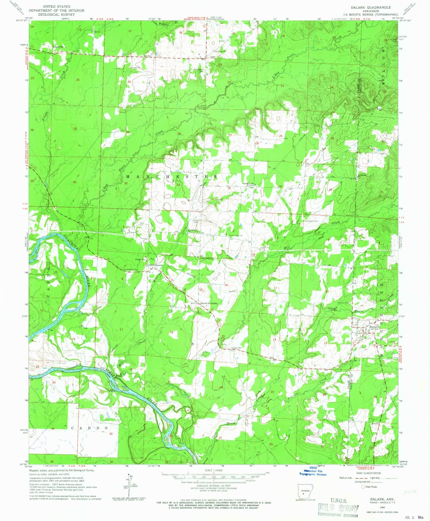
Classic USGS Dalark Arkansas 7.5'x7.5' Topo Map
Couldn't load pickup availability
Historical USGS topographic quad map of Dalark in the state of Arkansas. Map scale may vary for some years, but is generally around 1:24,000. Print size is approximately 24" x 27"
This quadrangle is in the following counties: Clark, Dallas.
The map contains contour lines, roads, rivers, towns, and lakes. Printed on high-quality waterproof paper with UV fade-resistant inks, and shipped rolled.
Contains the following named places: Atchley Cemetery, Bethlehem Cemetery, Brushy Creek, Church of God in Christ, Dalark, East Clark County Volunteer Fire Department, Gravel Junction, Griffithtown, Joan, Jones Cemetery, Knoxville, L'Eau Frais Creek, Littlejohn Cemetery, Macedonia Cemetery, Macedonia Primitive Baptist Church, Manchester United Methodist Church, McCargo Creek, McClanahan Cemetery, Mill Creek, Pearson Creek, Piney Grove Church, Strong Cemetery, Township of Manchester, Turner Cemetery


