MyTopo
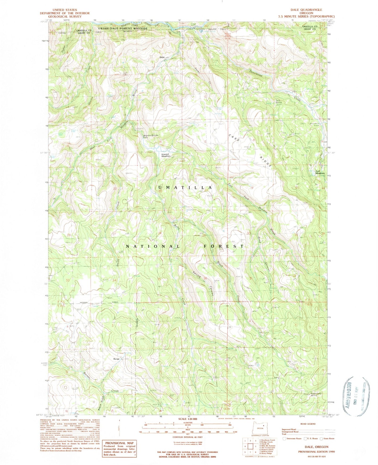
Classic USGS Dale Oregon 7.5'x7.5' Topo Map
Couldn't load pickup availability
Historical USGS topographic quad map of Dale in the state of Oregon. Map scale may vary for some years, but is generally around 1:24,000. Print size is approximately 24" x 27"
This quadrangle is in the following counties: Grant, Umatilla.
The map contains contour lines, roads, rivers, towns, and lakes. Printed on high-quality waterproof paper with UV fade-resistant inks, and shipped rolled.
Contains the following named places: Board Gulch, Brush Creek, Bully Creek, Case Place, Case Ridge, Case Spring, Dale, Dale Post Office, Dale Ranger Station, Dale Work Center, Deep Canyon, Desolation Creek, Duff Meadows, East Fork Meadow Brook, George Hinton Ranch, Hinton Creek, Howard Meadows, Knapp Ranch, Meadow Brooks Falls, Moonshine Creek, Range, Range Post Office, Road Camp Spring, Smith Creek, Snake Creek, Spring Canyon, Toll Bridge Recreation Site, Twin Spring, West Fork Meadow Brook