MyTopo
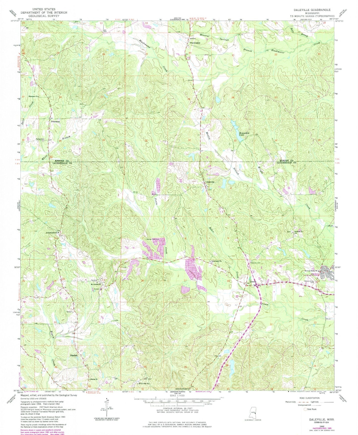
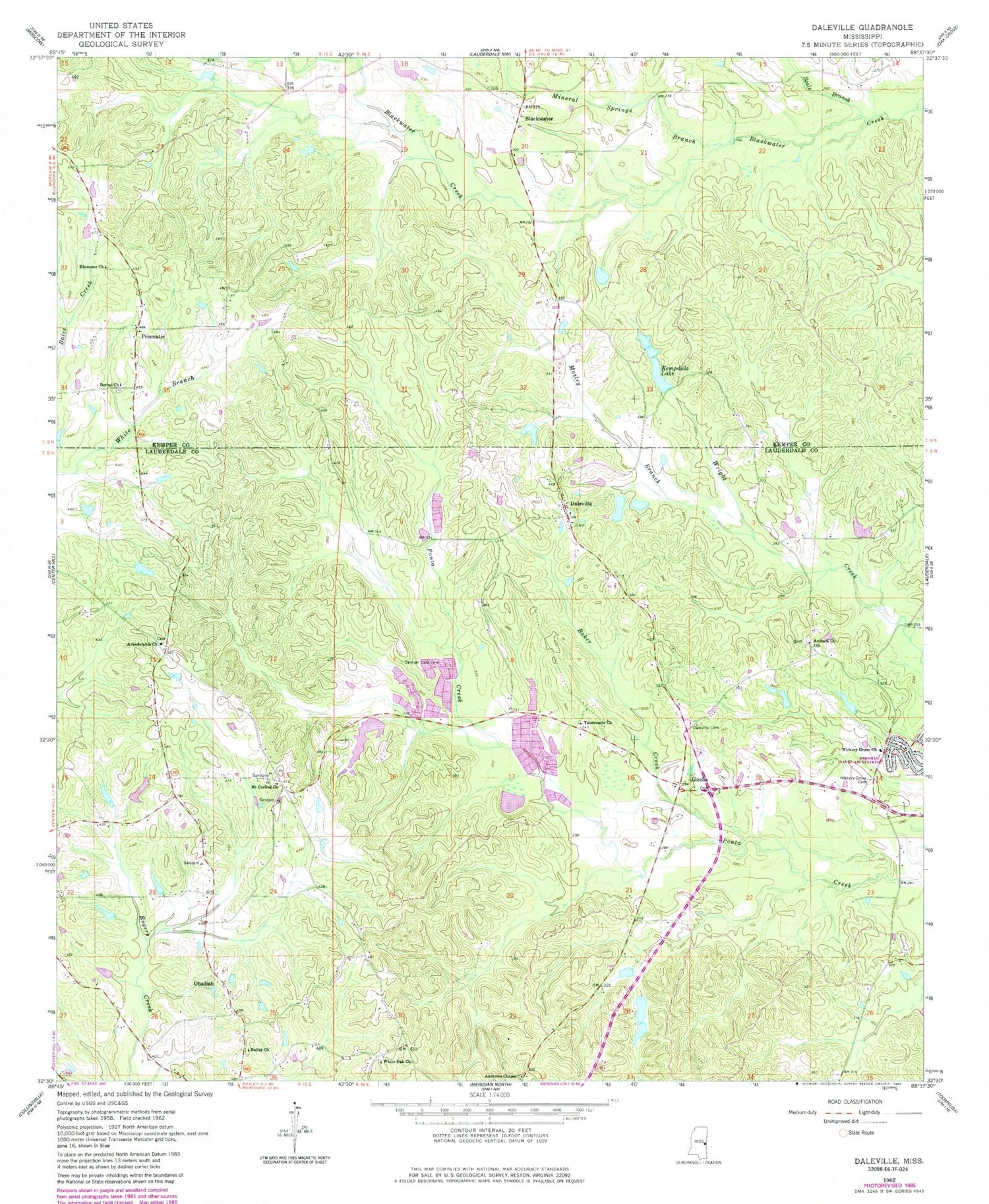
Classic USGS Daleville Mississippi 7.5'x7.5' Topo Map
Couldn't load pickup availability
Historical USGS topographic quad map of Daleville in the state of Mississippi. Map scale may vary for some years, but is generally around 1:24,000. Print size is approximately 24" x 27"
This quadrangle is in the following counties: Kemper, Lauderdale.
The map contains contour lines, roads, rivers, towns, and lakes. Printed on high-quality waterproof paper with UV fade-resistant inks, and shipped rolled.
Contains the following named places: A C Munn Pond Dam, Andrew Chapel United Methodist Church Cemetery, Andrews Chapel, Antioch Church, Arkadelphia Cemetery, Arkadelphia Church, Bailey Church, Baker Creek, Bethel Church, Bill Daniels Catfish Ponds Dam, Blackwater, Blackwater Baptist Church, Blackwater Cemetery, Chomontakali, Cliff Walker Pond Dam, Coosha, Cotes Mill, Covington Fish Ponds Dam, Daleville, Daleville Cemetery, Daleville Methodist Church, Daleville Post Office, Doctor Dawson Pond Dam, Doctor L Rush Lake Dam, E H Motley Junior Lake Dam, Ebenezer Church, Hickory Grove Baptist Church, Hickory Grove Baptist Church Cemetery, Kempdale Lake, Kempdale Lake Dam, Lizelia, Mineral Springs Branch, Mosley Branch, Mount Carmel Cemetery, Mount Carmel Church, Obadiah, Prismatic, R N McElroy Pond Dam, Sam Dale Volunteer Fire Department and Rescue, Samuel Dale Cemetery, Seals Branch, Tabernacle Church, Temple Pond Dam, White Oak Church, Whites Store, ZIP Codes: 39320, 39326


