MyTopo
Classic USGS Daly Creek Oregon 7.5'x7.5' Topo Map
Regular price
$16.95
Regular price
Sale price
$16.95
Unit price
per
Couldn't load pickup availability
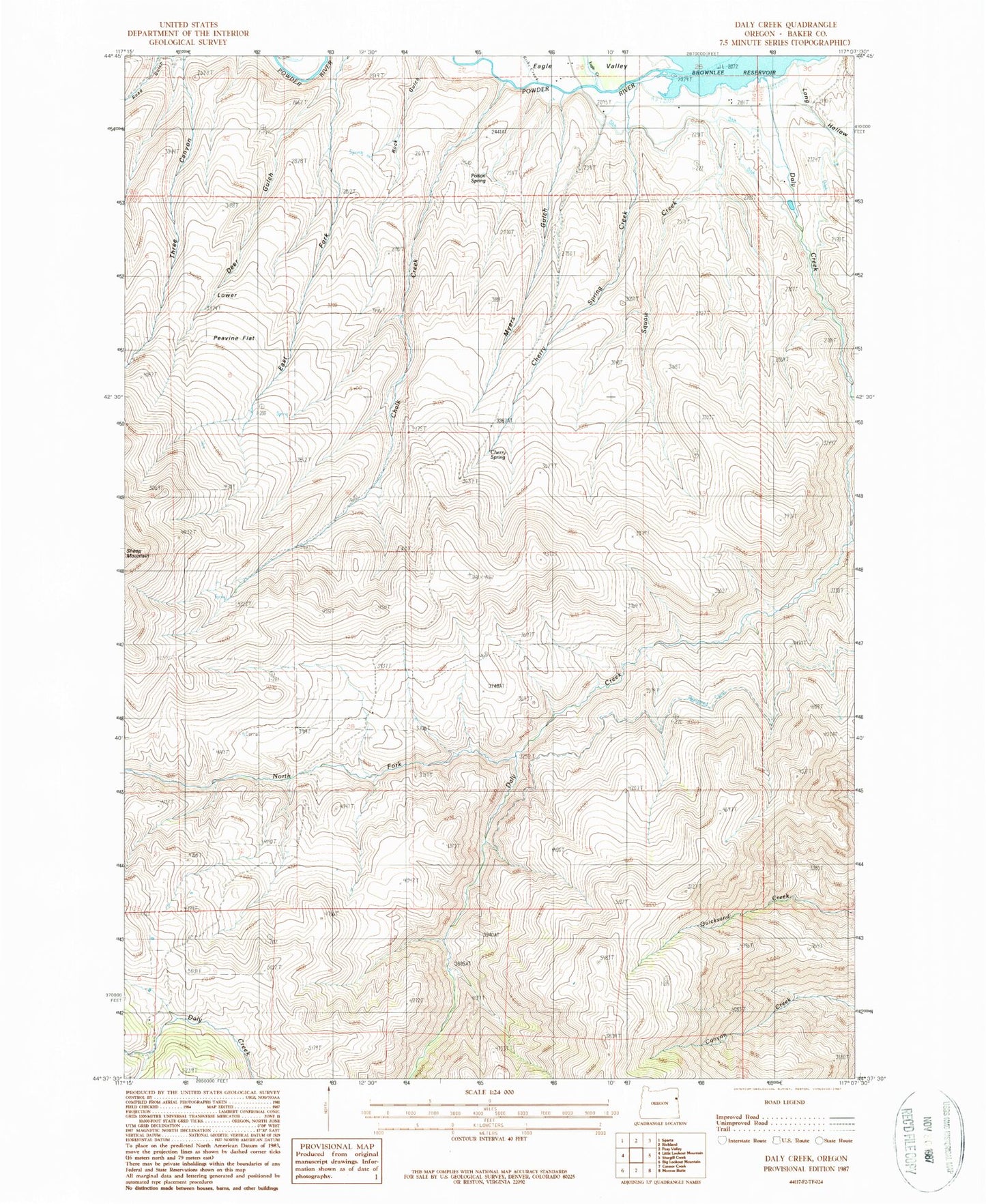
Historical USGS topographic quad map of Daly Creek in the state of Oregon. Map scale may vary for some years, but is generally around 1:24,000. Print size is approximately 24" x 27"
This quadrangle is in the following counties: Baker.
The map contains contour lines, roads, rivers, towns, and lakes. Printed on high-quality waterproof paper with UV fade-resistant inks, and shipped rolled.
Contains the following named places: Badland Creek, Brady Creek, Chalk Creek, Cherry Spring, Cherry Spring Creek, Daly Creek, Eagle Creek, Eagle Valley, East Long Hollow, Haawpa Creek, Kirby Creek, Long Hollow, Lower Peavine Flat, Myers Gulch, North Fork Daly Creek, Poison Spring, Siegle Ditch, Wilkins Creek