MyTopo
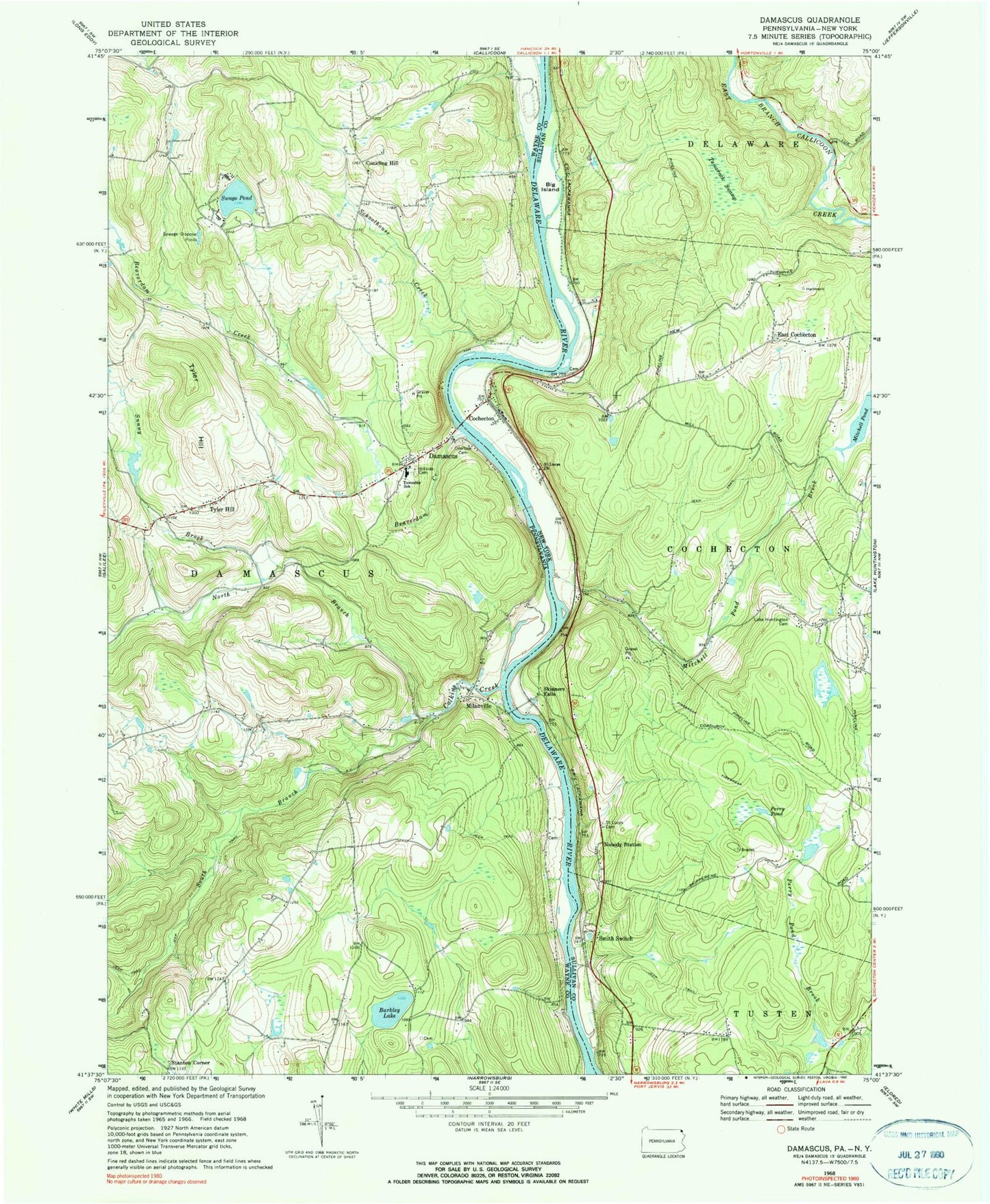
Classic USGS Damascus Pennsylvania 7.5'x7.5' Topo Map
Couldn't load pickup availability
Historical USGS topographic quad map of Damascus in the states of Pennsylvania, New York. Typical map scale is 1:24,000, but may vary for certain years, if available. Print size: 24" x 27"
This quadrangle is in the following counties: Sullivan, Wayne.
The map contains contour lines, roads, rivers, towns, and lakes. Printed on high-quality waterproof paper with UV fade-resistant inks, and shipped rolled.
Contains the following named places: Barkley Lake, Beaverdam Creek, Calkins Creek, Damascus, Hillside Cemetery, Milanville, North Branch Calkins Creek, Overlook Cemetery, Schoolhouse Creek, South Branch Calkins Creek, Sunny Brook, Swago Pond, Tyler Hill, Tyler Hill, Riverside School, Conklin Hill, Stanton Corner, Upper Tyler Hill Dam, Upper Delaware Wild and Scenic River, Damascus Township Volunteer Ambulance Corps, Milanville Post Office, Damascus Post Office, Big Island, Cochecton, Lake Huntington Presbyterian Cemetery, Mitchell Pond, Mitchell Pond Brook, Nobody Station, Perry Pond, Saint Lucys Cemetery, Saint Lucys Church, Skinners Falls, Smith Switch, Tamarack Swamp, East Cochecton, Campis Airport, East Cochecton Cemetery, Cochecton Dam Road Bridge, Lake Huntington Volunteer Fire Company Station 3, Cochecton Post Office


