MyTopo
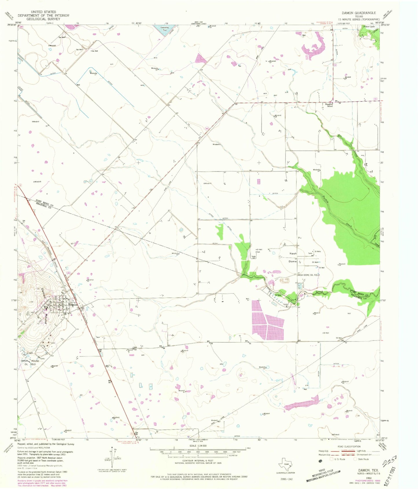
Classic USGS Damon Texas 7.5'x7.5' Topo Map
Couldn't load pickup availability
Historical USGS topographic quad map of Damon in the state of Texas. Map scale may vary for some years, but is generally around 1:24,000. Print size is approximately 24" x 27"
This quadrangle is in the following counties: Brazoria, Fort Bend.
The map contains contour lines, roads, rivers, towns, and lakes. Printed on high-quality waterproof paper with UV fade-resistant inks, and shipped rolled.
Contains the following named places: Brazos Bend Baptist Mission, Damon, Damon Census Designated Place, Damon Elementary School, Damon Mound, Damon Post Office, Damon Volunteer Fire Department, H & S Airfield, Meyer Field, Nash Dome, Nash Dome Oil Field, Prairie Aire Field, Sweeny Community Library, Turkey Creek, West Columbia Branch Library, Woodrow School, ZIP Code: 77430