MyTopo
Classic USGS Dana Ranch Montana 7.5'x7.5' Topo Map
Couldn't load pickup availability
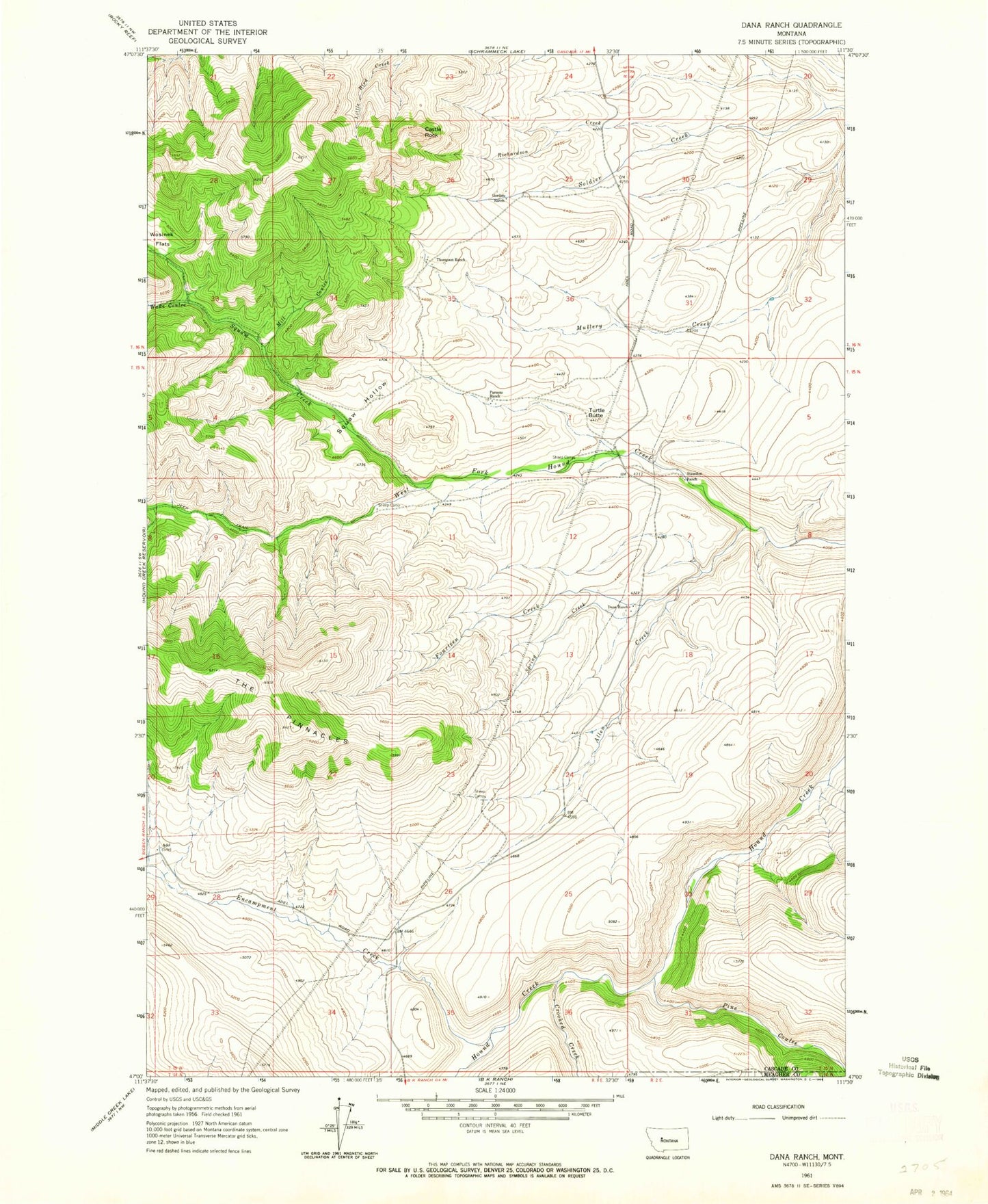
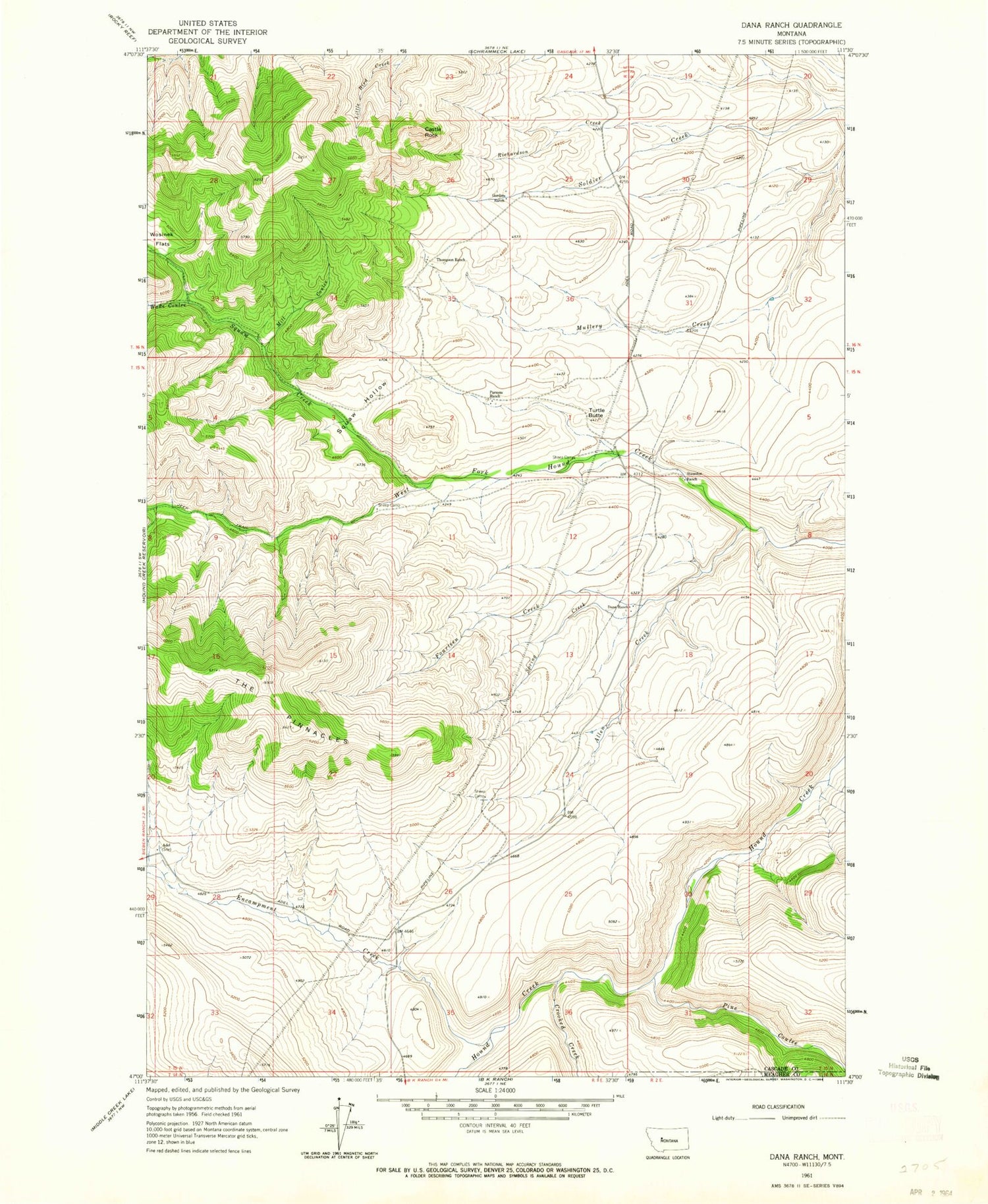
Historical USGS topographic quad map of Dana Ranch in the state of Montana. Map scale may vary for some years, but is generally around 1:24,000. Print size is approximately 24" x 27"
This quadrangle is in the following counties: Cascade, Meagher.
The map contains contour lines, roads, rivers, towns, and lakes. Printed on high-quality waterproof paper with UV fade-resistant inks, and shipped rolled.
Contains the following named places: Adel, Adel Post Office, Allen Creek, Castle Rock, Crooked Creek, Dana Ranch, Encampment Creek, Fourteen Creek, Gordon Ranch, Mill Coulee, Parsons Ranch, Pine Coulee, Richardson Creek, Soldier Creek School, Spring Creek, Staunton Ranch, Thompson Ranch, Too-nah-hin Creek, Too-nah-hin Hollow, Turtle Butte, Wade Coulee, Wosinek Flats