MyTopo
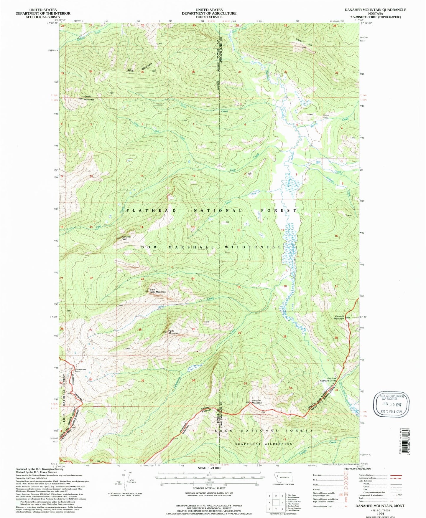
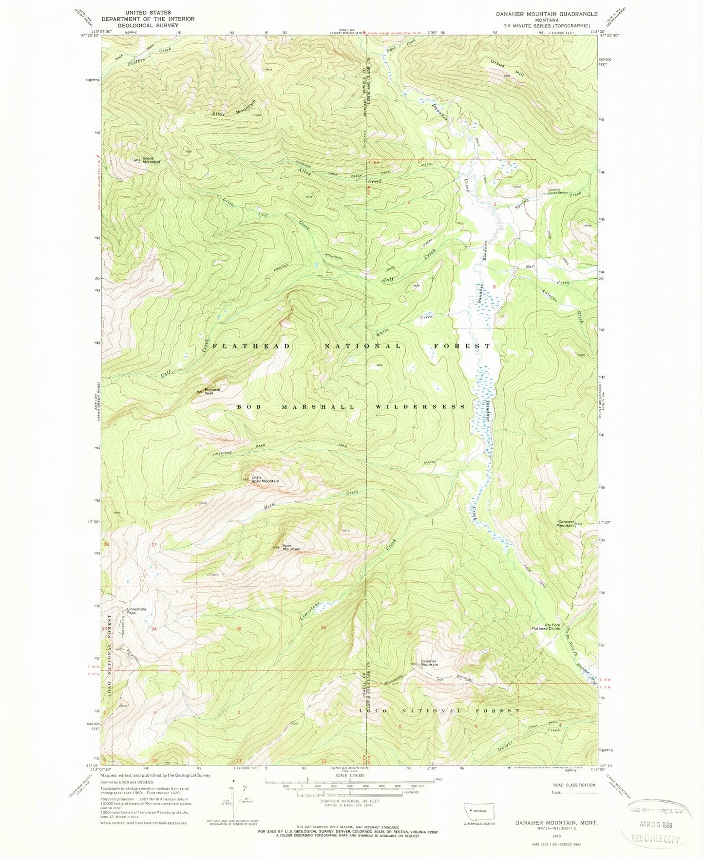
Classic USGS Danaher Mountain Montana 7.5'x7.5' Topo Map
Couldn't load pickup availability
Historical USGS topographic quad map of Danaher Mountain in the state of Montana. Typical map scale is 1:24,000, but may vary for certain years, if available. Print size: 24" x 27"
This quadrangle is in the following counties: Lewis and Clark, Powell.
The map contains contour lines, roads, rivers, towns, and lakes. Printed on high-quality waterproof paper with UV fade-resistant inks, and shipped rolled.
Contains the following named places: Alloy Mountain, Apex Mountain, Grace Mountain, Limestone Pass, Little Apex Mountain, Little Calf Creek, Pinnacle Peak, Alloy Creek, Antoine Creek, Bar Creek, Calf Creek, Concord Mountain, Danaher Guard Station, Danaher Hahn Creek Trail, Danaher Meadows, Danaher Mountain, Dry Fork Flathead Divide, Foolhen Mountain Trail, Helio Creek, Limestone Creek, Rapid Creek, Spring Creek, Ursus Hill, White Creek