MyTopo
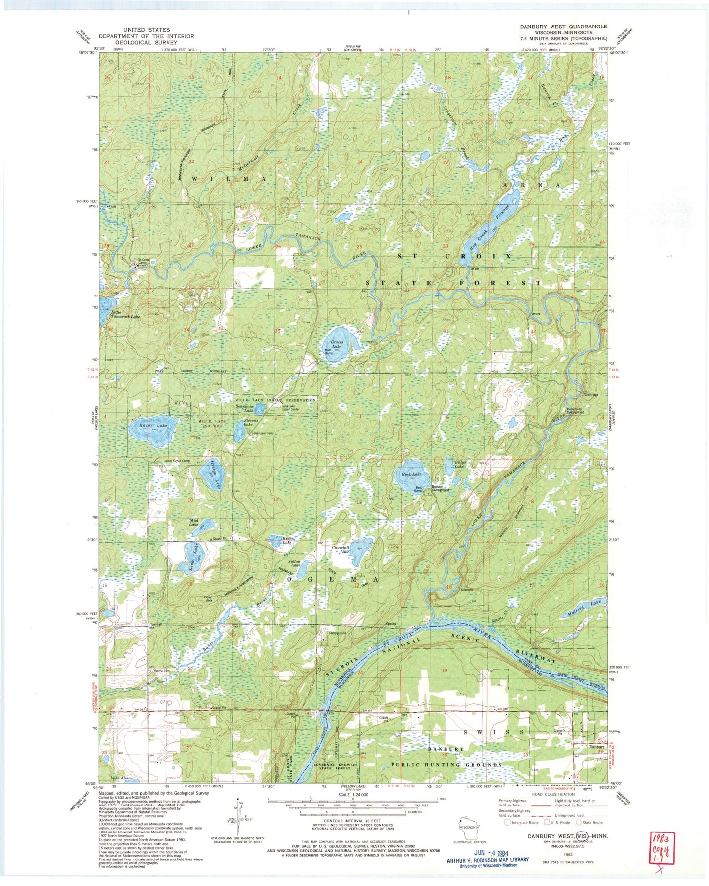
Classic USGS Danbury West Wisconsin 7.5'x7.5' Topo Map
Couldn't load pickup availability
Historical USGS topographic quad map of Danbury West in the states of Wisconsin, Minnesota. Typical map scale is 1:24,000, but may vary for certain years, if available. Print size: 24" x 27"
This quadrangle is in the following counties: Burnett, Pine.
The map contains contour lines, roads, rivers, towns, and lakes. Printed on high-quality waterproof paper with UV fade-resistant inks, and shipped rolled.
Contains the following named places: Danbury Census Designated Place, Albrechts Creek, Benjamin Lake, Billys Lake, Churchill Lake, Graces Lake, Greigs Lake, Hanson Creek, Hay Creek, Hay Creek Flowage, Keene Lake, Longstrem Brook, Lena Lake, Lena Lake Chapel, Lower Tamarack River, Mallard Lake, McDermott Creek, Mud Lake, Ogema Cemetery, Razor Lake, Rock Lake, Saint Croix Camp, Saint Croix State Forest, Sangeta Creek, Stevens Lake, Sutton Lake, Township of Ogema, Township of Wilma, Hay Creek Dam, Hay Creek Reservoir, Markville Snowmobile Trail, Horsemans Campground, Boulder Campground, Jamar Scout Camp, Lena Lake Indian Center, Lena Lake Cemetery, Native American Burial Grounds, Saint Croix Haven Campgrounds, Mille Lacs Tribal Police Department Sandstone


