MyTopo
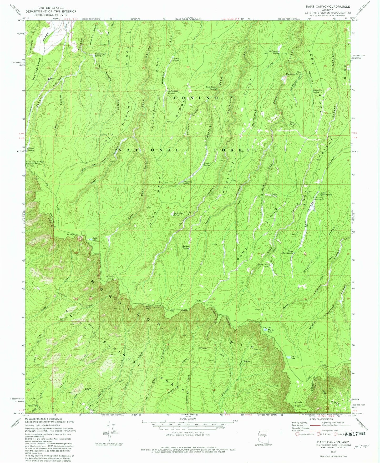
Classic USGS Dane Canyon Arizona 7.5'x7.5' Topo Map
Couldn't load pickup availability
Historical USGS topographic quad map of Dane Canyon in the state of Arizona. Typical map scale is 1:24,000, but may vary for certain years, if available. Print size: 24" x 27"
This quadrangle is in the following counties: Coconino, Gila.
The map contains contour lines, roads, rivers, towns, and lakes. Printed on high-quality waterproof paper with UV fade-resistant inks, and shipped rolled.
Contains the following named places: Aspen Spring, Barbershop Spring, Bill McClintock Draw, Box Canyon, Buck Springs Cabin, Buck Springs Ridge, Burnt Point, Coyote Spring, Dane Ridge, Dane Spring, Dick Hart Ridge, Drift Fence Spring, Dude Lake, East Bear Canyon, Fred Haught Canyon, Fred Haught Ridge, Fred Haught Spring, Holder Cabin, Hospital Ridge, Lost Lake, Lower Buck Spring, Maverick Canyon, McClintock Ridge, McClintock Spring, McFarland Spring, Merritt Draw, Merritt Spring, Moonshine Draw, Moonshine Spring, Myrtle Lake, Myrtle Trail, Telephone Ridge, Turkey Pen Ridge, Turkey Spring, Upper Buck Spring, West Bear Canyon, West Moonshine Draw, West Moonshine Spring, Whistling Spring, Crackerbox Spring, Pinchot Spring, Schneider Spring, Floyd Spring, Backhoe Tank Number Six, Nonsuitable Tank, Yeager Tank, Middle Leonard Number Four Spring, Middle Leonard Number Two Spring, Bonita Creek Estates