MyTopo
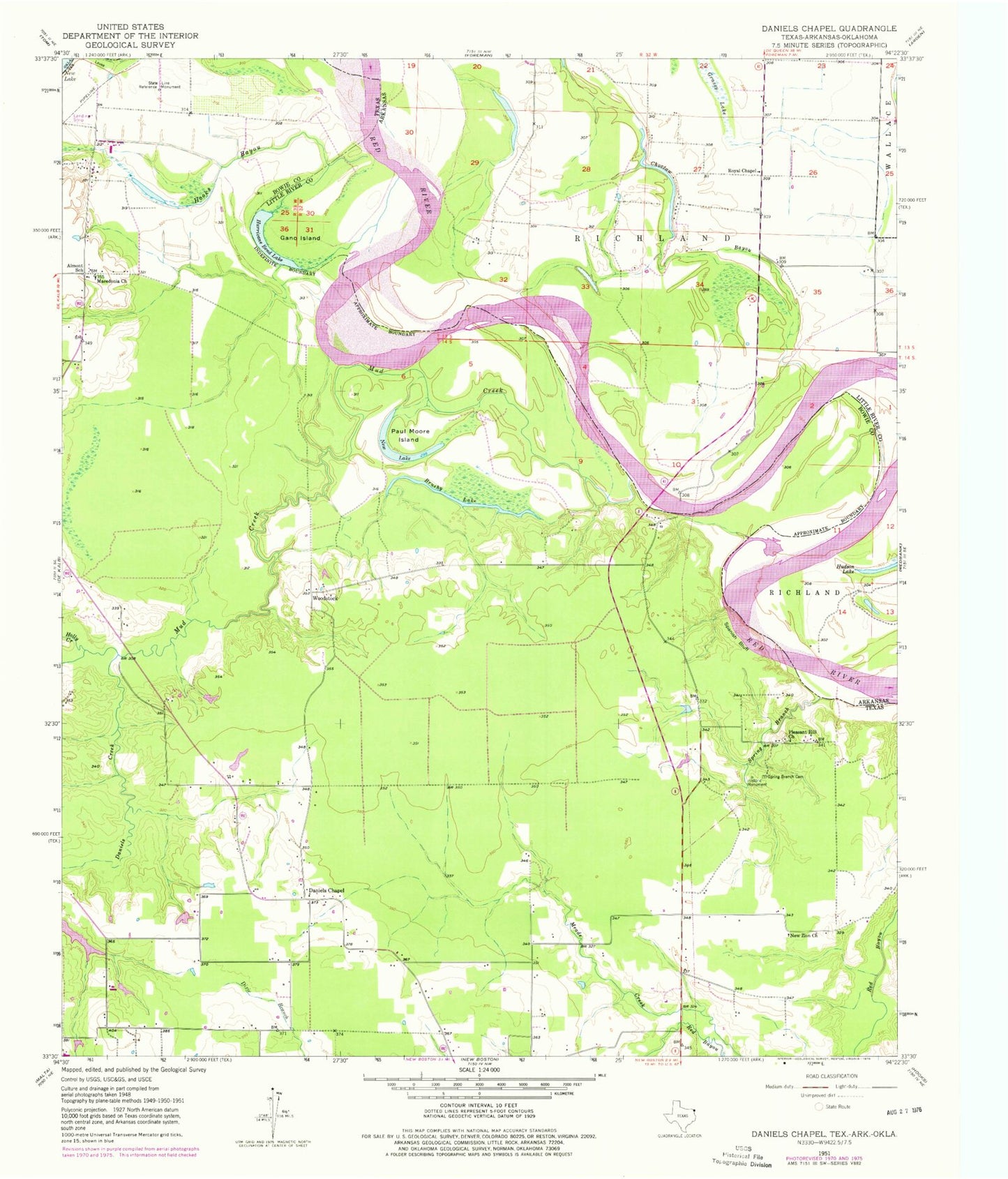
Classic USGS Daniels Chapel Texas 7.5'x7.5' Topo Map
Couldn't load pickup availability
Historical USGS topographic quad map of Daniels Chapel in the states of Texas, Arkansas. Map scale may vary for some years, but is generally around 1:24,000. Print size is approximately 24" x 27"
This quadrangle is in the following counties: Bowie, Little River, McCurtain.
The map contains contour lines, roads, rivers, towns, and lakes. Printed on high-quality waterproof paper with UV fade-resistant inks, and shipped rolled.
Contains the following named places: Almont School, Brushy Lake, Choctaw Bayou, Daniels Chapel, Daniels Creek, Gano Island, Holly Creek, Hooks Bayou, Hughes Cemetery, Hurricane Bend Lake, Macedonia Church, Moser Ranch Airfield, Mud Creek, New Lake, New Zion Church, Paul Moore Island, Pleasant Hill Church, Royal Chapel, Royal Chapel School, Spanish Bluff, Spring Branch, Spring Branch Cemetery, Township of Richland, Woodstock