MyTopo
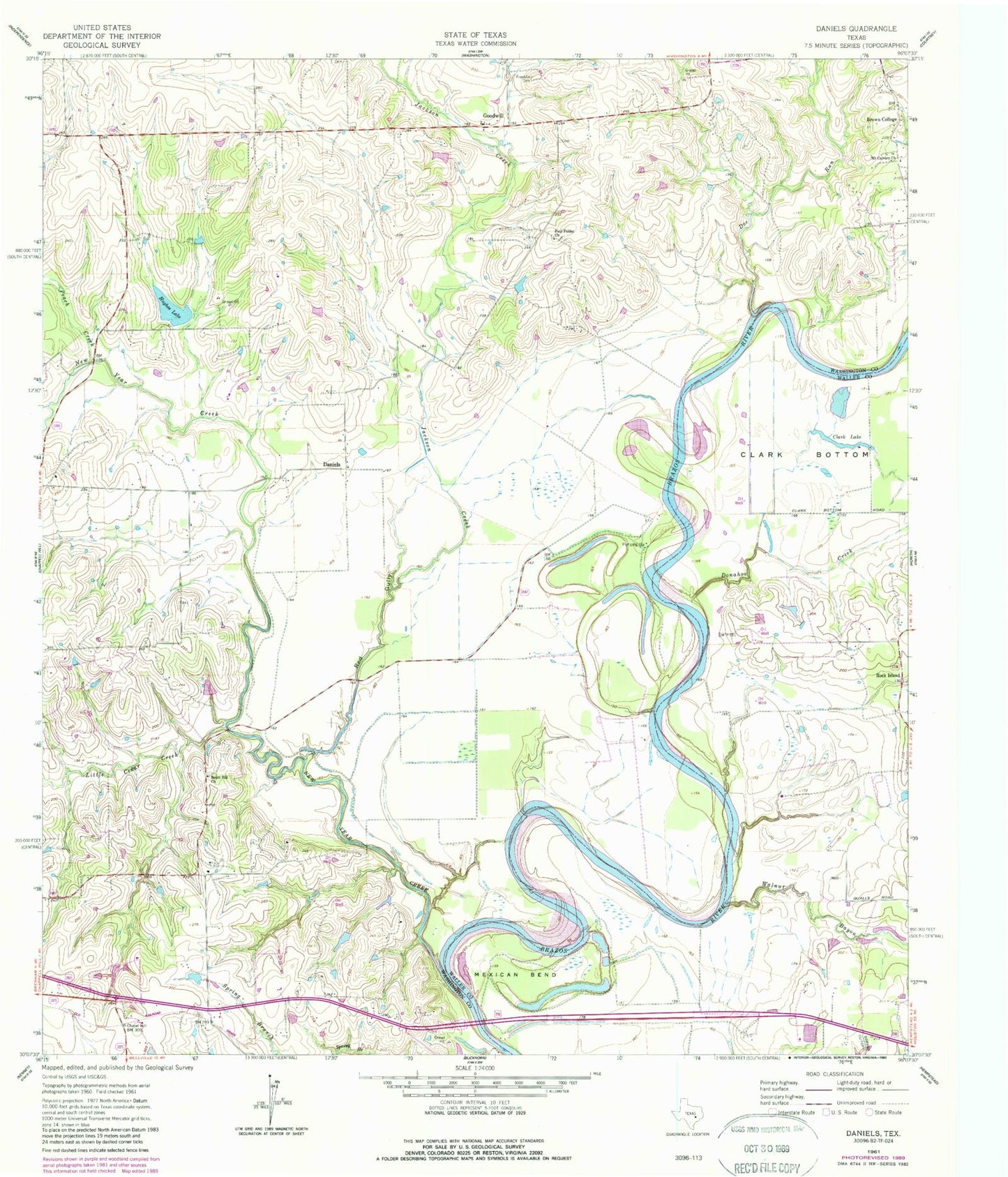
Classic USGS Daniels Texas 7.5'x7.5' Topo Map
Couldn't load pickup availability
Historical USGS topographic quad map of Daniels in the state of Texas. Map scale may vary for some years, but is generally around 1:24,000. Print size is approximately 24" x 27"
This quadrangle is in the following counties: Waller, Washington.
The map contains contour lines, roads, rivers, towns, and lakes. Printed on high-quality waterproof paper with UV fade-resistant inks, and shipped rolled.
Contains the following named places: Anderson Cemetery, Brown College, Clark Lake, Daniels, Doe Run, Donahoe Creek, Franklin Cemetery, Goodwill, Hughes Lake, Hughes Lake Dam, Jackson Creek, Lake Number 3, Lake Number 3 Dam, Little Cedar Creek, Mexican Bend, Mount Calvary Church, New Year Creek, Paul Felder Church, Peach Creek, Red Gully, Rock Island, Rocking W Ranch Heliport, Routt Hill Church, Walnut Bayou, Washington-Chappell Hill Division, Whitman