MyTopo
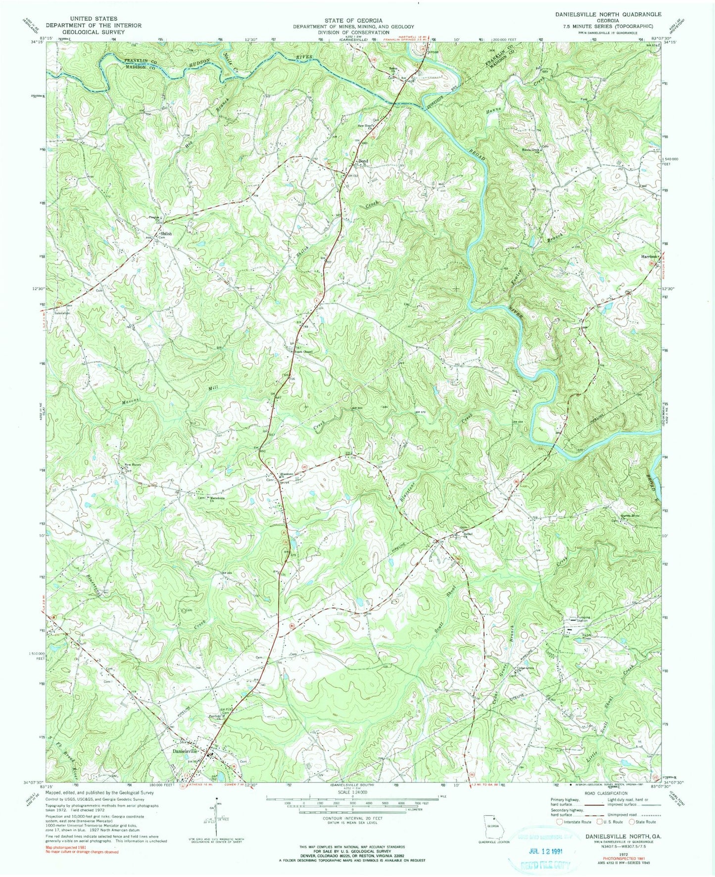
Classic USGS Danielsville North Georgia 7.5'x7.5' Topo Map
Couldn't load pickup availability
Historical USGS topographic quad map of Danielsville North in the state of Georgia. Map scale may vary for some years, but is generally around 1:24,000. Print size is approximately 24" x 27"
This quadrangle is in the following counties: Franklin, Madison.
The map contains contour lines, roads, rivers, towns, and lakes. Printed on high-quality waterproof paper with UV fade-resistant inks, and shipped rolled.
Contains the following named places: Adams Cemetery, Bethel Church, Bluestone, Bluestone Church, Bluestone Creek, Bluestone School, Bond, Bonds Academy, Bonds Ford, Bragg Ferry, Broad River Division, Carruths Mill, Cedar Grove, Cedar Grove Branch, Cedar Grove Church, Dalton, Daniels Ferry, Danielsville Community Volunteer Fire Department, Danielsville Division, Danielsville Police Department, Davids Home Church, Dove Branch, Fairfield Church, Fitz Bridge, Fortson Branch, Fowler Branch, Fowlers Academy, Georgia Forestry Commission Madison Office, Gholston Lake Dam, Grimes Dam, Grimes Lake, Hanna Creek, Hanna Creek Church, Hill Cemetery, Hog Branch, Hudson River, James Spring, Jones Chapel, Kingdom Hall, M M Land Development Company Dam, M M Land Development Company Lake, Macedonia Church, Madison County, Madison County Detention Center, Madison County Emergency Medical Services Station 1, Madison County Sheriff's Office, Madison Springs, Mason Mill, Masons Mill Creek, Morgantown Baptist Association Dam, Nails Creek, New Haven Church, New Hope Church, Norcross School, Peoples Church, Phillips, Salem Church, Shiloh, Shiloh Baptist Church, Shiloh Cemetery, Shiloh Creek, Shiloh Volunteer Fire Department, Transco, Trinity Church, Velpoe, Velpoe School, Ward Branch, Ware Cemetery, Wildcat Bridge, ZIP Code: 30633


