MyTopo
Classic USGS Dannemora New York 7.5'x7.5' Topo Map
Couldn't load pickup availability
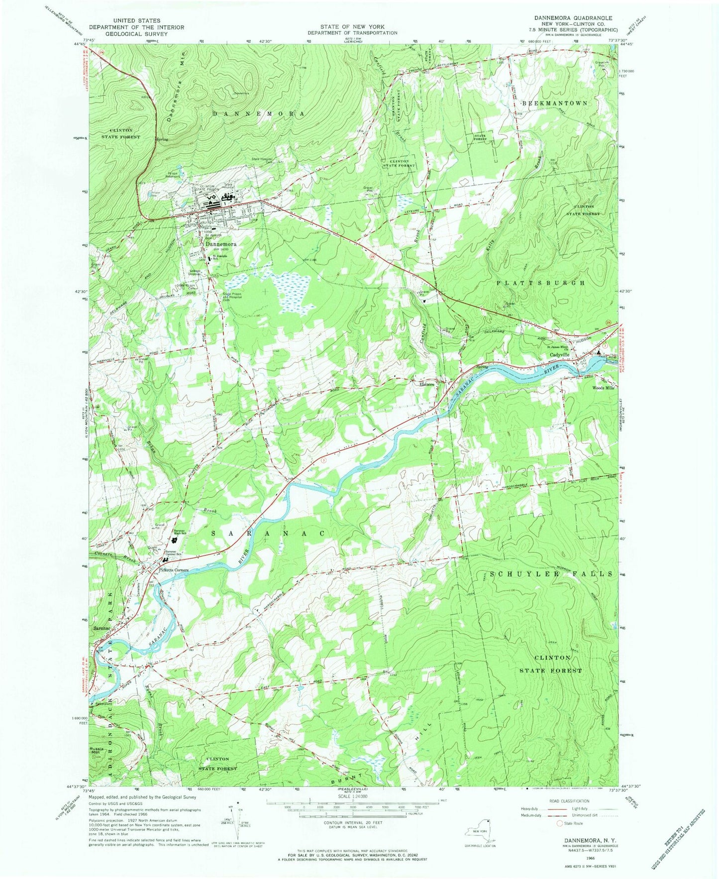
Historical USGS topographic quad map of Dannemora in the state of New York. Map scale may vary for some years, but is generally around 1:24,000. Print size is approximately 24" x 27"
This quadrangle is in the following counties: Clinton.
The map contains contour lines, roads, rivers, towns, and lakes. Printed on high-quality waterproof paper with UV fade-resistant inks, and shipped rolled.
Contains the following named places: Behan Brook, Cadyville, Cadyville Census Designated Place, Cadyville Post Office, Cadyville Wesleyan Church, Campbell's Greenhouse, Canfield Brook, Clinton Correctional Facility, Clinton Correctional Facility Annex, Clinton County, Corners Brook, Dannemora, Dannemora Mountain, Dannemora Post Office, Dannemora Village Water Treatment Plant, Duquette Farms, Elsinore, Kelly Brook, Picketts Corners, Russia Mountain, Ryans Brook, Saint James Catholic Cemetery, Saint James Minor Church, Saint Josephs Cemetery, Saint Josephs School, Saranac, Saranac Central School, Saranac High School, Saranac Middle School, Saranac Post Office, Saranac Town Hall, Saranac United Methodist Church, State Hospital Cemetery, State Prison and Hospital Cemetery, State Prison Cemetery, Village of Dannemora, ZIP Codes: 12918, 12929


