MyTopo
Classic USGS Danvers Illinois 7.5'x7.5' Topo Map
Couldn't load pickup availability
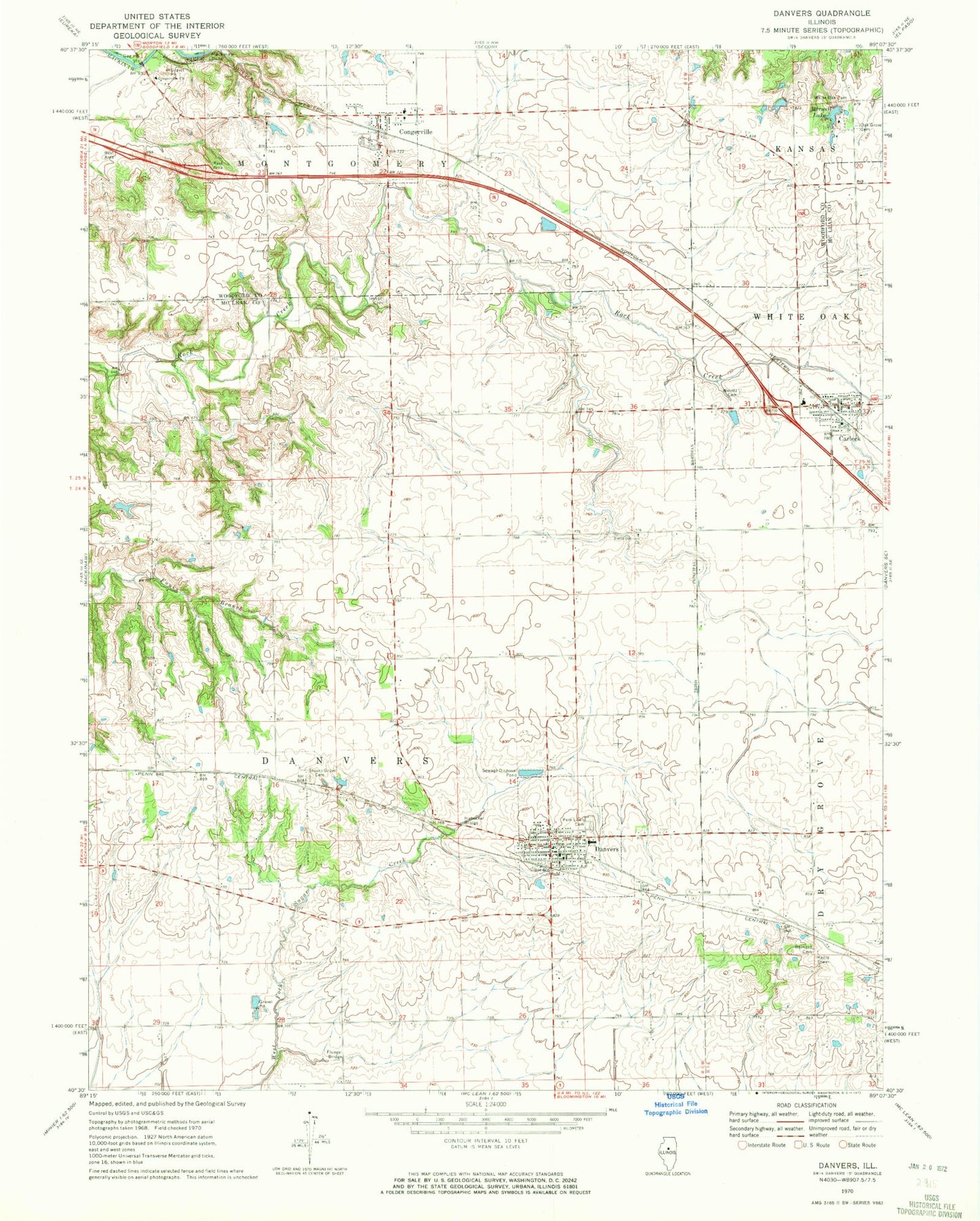
Historical USGS topographic quad map of Danvers in the state of Illinois. Map scale may vary for some years, but is generally around 1:24,000. Print size is approximately 24" x 27"
This quadrangle is in the following counties: McLean, Woodford.
The map contains contour lines, roads, rivers, towns, and lakes. Printed on high-quality waterproof paper with UV fade-resistant inks, and shipped rolled.
Contains the following named places: Barwell Lake, Barwell Lake Dam, Carlock, Carlock Democrat Cemetery, Carlock Elementary School, Carlock Fire Protection District, Carlock Post Office, Congerville, Congerville Church, Congerville Elementary School, Congerville Fire Protection District, Congerville Post Office, Crescent School, Cross Lake, Cross Lake Dam, Danvers, Danvers Community Fire Protection District, Danvers Elementary School, Danvers Emergency and Rescue Service, Danvers Post Office, Dement School, Farmsville, Fifer School, Fluegel Bridge, Franks School, Habecker Bridge, Hall Barnard Cemetery, Hickory Ridge School, Imhoff Cemetery, Mackinaw Dells, Maurer Cemetery, Mitchell School, North Carlock School, North Danvers Cemetery, North Danvers Church, Oak Grove Cemetery, Park Lawn Cemetery, Rock Creek School, Sears Lake, Sears Lake Dam, Stouts Grove Cemetery, Stouts Grove School, Strubhar School, Swamp School, Township of Danvers, Village of Carlock, Village of Congerville, Village of Danvers, Wintz Cemetery, Woodruff, ZIP Code: 61732