MyTopo
Classic USGS Danville Kansas 7.5'x7.5' Topo Map
Regular price
$16.95
Regular price
Sale price
$16.95
Unit price
per
Couldn't load pickup availability
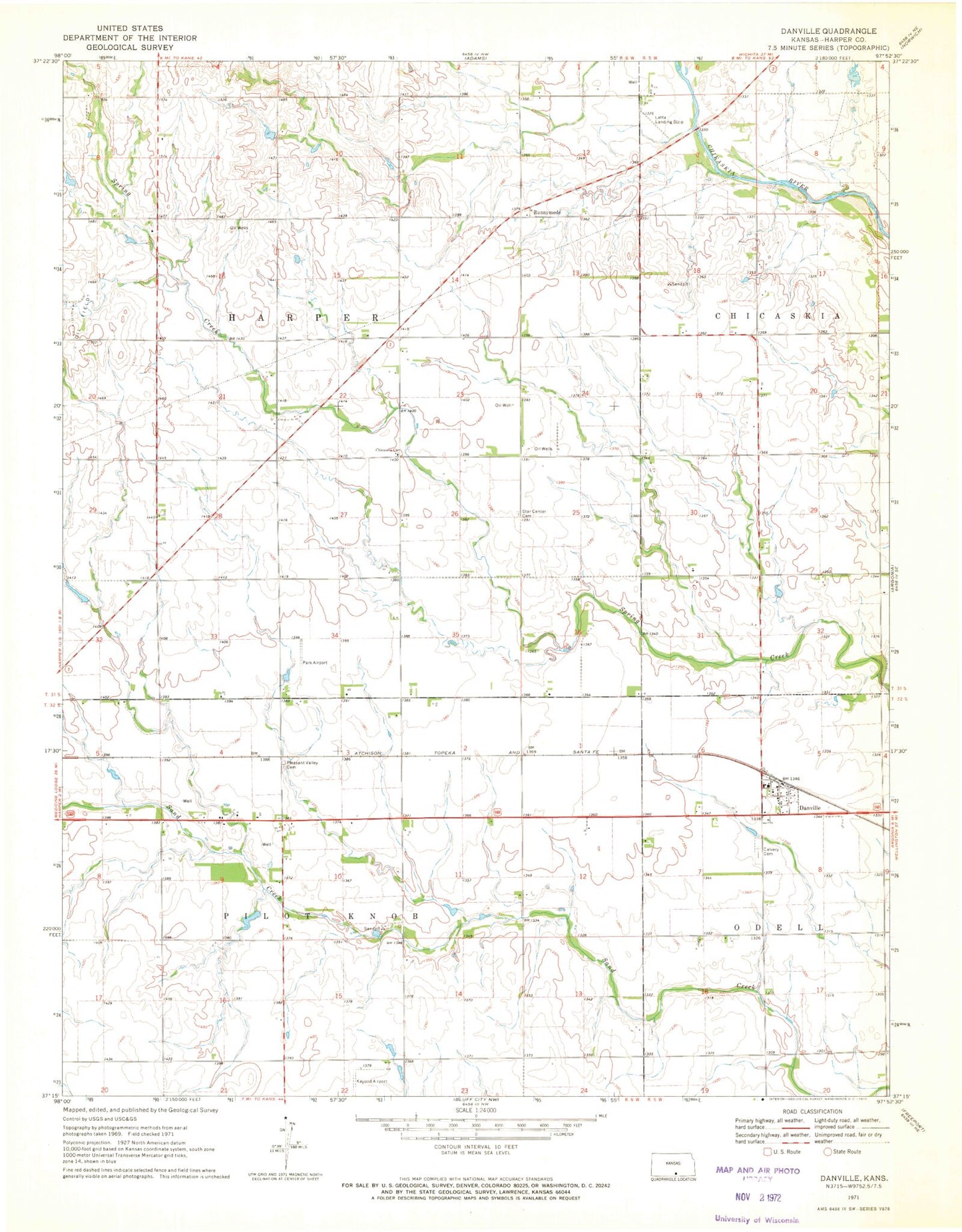
Historical USGS topographic quad map of Danville in the state of Kansas. Map scale may vary for some years, but is generally around 1:24,000. Print size is approximately 24" x 27"
This quadrangle is in the following counties: Harper.
The map contains contour lines, roads, rivers, towns, and lakes. Printed on high-quality waterproof paper with UV fade-resistant inks, and shipped rolled.
Contains the following named places: Bob Park Airport, Cavalry Cemetery, Chicaskia Baptist Church, City of Danville, Danville, Danville Post Office, Immaculate Conception Catholic Church, Kaypod Airport, Latta Landing Strip, Pleasant Valley Cemetery, Runnymede, Township 5, Township 6, ZIP Code: 67036